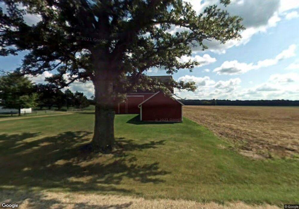
14433 W Townsend Rd Fowler, MI 48835
Estimated Value: $344,000 - $797,222
3
Beds
1
Bath
1,484
Sq Ft
$408/Sq Ft
Est. Value
About This Home
This home is located at 14433 W Townsend Rd, Fowler, MI 48835 and is currently estimated at $604,741, approximately $407 per square foot. 14433 W Townsend Rd is a home located in Clinton County with nearby schools including Pewamo-Westphalia Elementary School, Pewamo-Westphalia Junior/Senior High School, and St Joseph Elementary School.
Ownership History
Date
Name
Owned For
Owner Type
Purchase Details
Closed on
Aug 19, 2025
Sold by
Rockey David T and Rockey Christine G
Bought by
Rockey David T and Rockey Christine G
Current Estimated Value
Purchase Details
Closed on
May 4, 2016
Sold by
Rockey Judith E
Bought by
Rockey Judith E and Judith E Rockey Trust
Purchase Details
Closed on
Jun 28, 2011
Sold by
Rockey Harold T and Rockey Judith E
Bought by
Rockey Harold T and Rockey Judith E
Create a Home Valuation Report for This Property
The Home Valuation Report is an in-depth analysis detailing your home's value as well as a comparison with similar homes in the area
Home Values in the Area
Average Home Value in this Area
Purchase History
| Date | Buyer | Sale Price | Title Company |
|---|---|---|---|
| Rockey David T | -- | None Listed On Document | |
| Rockey Judith E | -- | Attorney | |
| Rockey Judith E | -- | Attorney | |
| Rockey Harold T | -- | None Available |
Source: Public Records
Tax History Compared to Growth
Tax History
| Year | Tax Paid | Tax Assessment Tax Assessment Total Assessment is a certain percentage of the fair market value that is determined by local assessors to be the total taxable value of land and additions on the property. | Land | Improvement |
|---|---|---|---|---|
| 2025 | $2,589 | $401,900 | $314,600 | $87,300 |
| 2024 | $1,122 | $367,500 | $294,700 | $72,800 |
| 2023 | $1,063 | $355,800 | $0 | $0 |
| 2022 | $2,388 | $315,700 | $253,900 | $61,800 |
| 2021 | $2,375 | $302,300 | $243,900 | $58,400 |
| 2020 | $2,145 | $317,800 | $262,500 | $55,300 |
| 2019 | $2,104 | $312,500 | $253,300 | $59,200 |
| 2018 | $1,995 | $284,900 | $235,200 | $49,700 |
| 2017 | -- | $274,400 | $222,400 | $52,000 |
| 2016 | $1,932 | $280,400 | $228,400 | $52,000 |
| 2015 | -- | $259,000 | $0 | $0 |
| 2011 | -- | $217,400 | $0 | $0 |
Source: Public Records
Map
Nearby Homes
- 0 Yates St
- 154 S Yates St
- 11255 W Wayne St
- 11138 W 2nd St
- V/L W M21
- 11040 W Ionia St
- 10911 E Kent St
- Lot 8 N Wright Rd
- 982 Norway Dr
- 781 Hopkins Rd
- 11670 Jessup Rd
- 8435 E Point Dr
- 1273 E Bridge St
- 1100 Hayes Rd
- 93 N Robinson St
- 1170 Liberty
- 145 N Elizabeth St
- 6928 Hubbardston Rd
- 226 Church St
- 306 Russell St
- 14434 W Townsend Rd
- 14716 W Townsend Rd
- 2144 S Grange Rd
- 14800 W Townsend Rd
- 1744 S Grange Rd
- 1755 S Grange Rd
- 1668 S Grange Rd
- 14927 W Townsend Rd
- 13850 W Townsend Rd
- 2502 S Grange Rd
- 1595 S Grange Rd
- 14991 W Townsend Rd
- 2125 S Jones Rd
- 2101 S Jones Rd
- 1396 S Grange Rd
- 13677 W Townsend Rd
- 1677 S Jones Rd
- 13616 W Townsend Rd
- 2445 S Jones Rd
- 2621 S Grange Rd