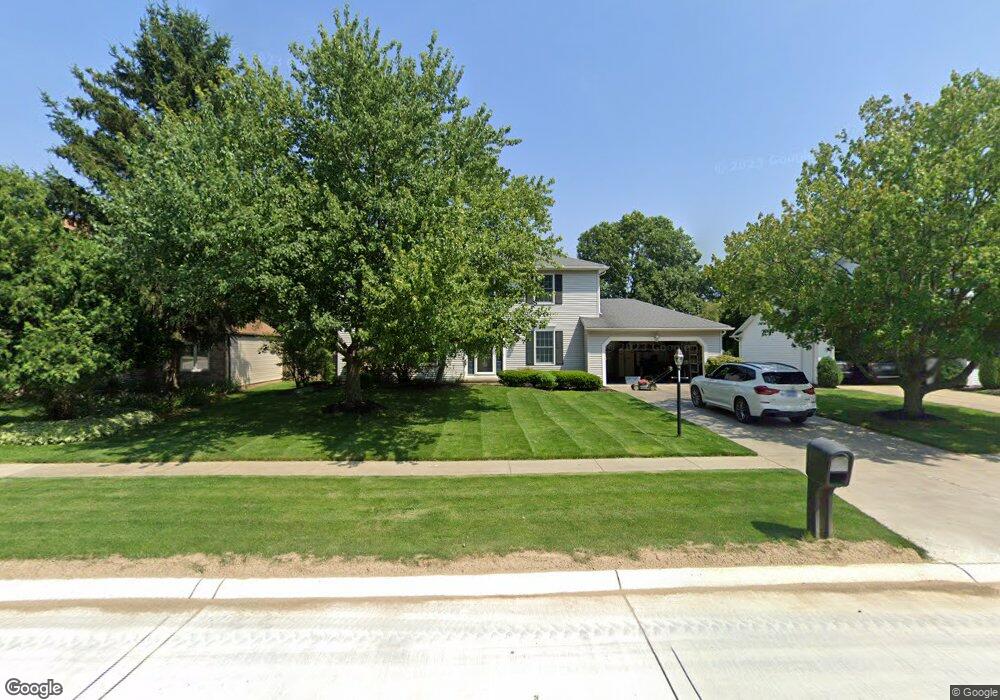
14436 Walking Stick Way Strongsville, OH 44136
Estimated Value: $388,549 - $426,000
4
Beds
3
Baths
2,016
Sq Ft
$199/Sq Ft
Est. Value
About This Home
This home is located at 14436 Walking Stick Way, Strongsville, OH 44136 and is currently estimated at $401,387, approximately $199 per square foot. 14436 Walking Stick Way is a home located in Cuyahoga County with nearby schools including Strongsville High School, Royal Redeemer Lutheran School, and Sts Joseph & John Interparochial School.
Ownership History
Date
Name
Owned For
Owner Type
Purchase Details
Closed on
Sep 13, 2022
Sold by
Cubar Kathryn
Bought by
Cubar John C
Current Estimated Value
Purchase Details
Closed on
May 24, 1988
Sold by
Cubar John C and Cubar Kathryn
Bought by
Cubar John C
Purchase Details
Closed on
Sep 26, 1986
Bought by
Cubar John C and Cubar Kathryn
Purchase Details
Closed on
Oct 29, 1985
Bought by
Colony Bldrs Inc
Purchase Details
Closed on
Jan 1, 1978
Bought by
Callas Bldg Co
Create a Home Valuation Report for This Property
The Home Valuation Report is an in-depth analysis detailing your home's value as well as a comparison with similar homes in the area
Home Values in the Area
Average Home Value in this Area
Purchase History
| Date | Buyer | Sale Price | Title Company |
|---|---|---|---|
| Cubar John C | -- | None Listed On Document | |
| Cubar John C | -- | -- | |
| Cubar John C | $104,500 | -- | |
| Colony Bldrs Inc | $127,800 | -- | |
| Callas Bldg Co | -- | -- |
Source: Public Records
Tax History Compared to Growth
Tax History
| Year | Tax Paid | Tax Assessment Tax Assessment Total Assessment is a certain percentage of the fair market value that is determined by local assessors to be the total taxable value of land and additions on the property. | Land | Improvement |
|---|---|---|---|---|
| 2024 | $4,600 | $107,765 | $21,105 | $86,660 |
| 2023 | $5,216 | $83,310 | $20,760 | $62,550 |
| 2022 | $5,179 | $83,300 | $20,760 | $62,550 |
| 2021 | $5,138 | $83,300 | $20,760 | $62,550 |
| 2020 | $4,760 | $68,290 | $17,010 | $51,280 |
| 2019 | $4,621 | $195,100 | $48,600 | $146,500 |
| 2018 | $4,097 | $68,290 | $17,010 | $51,280 |
| 2017 | $4,075 | $61,430 | $13,620 | $47,810 |
| 2016 | $4,042 | $61,430 | $13,620 | $47,810 |
| 2015 | $4,099 | $61,430 | $13,620 | $47,810 |
| 2014 | $4,099 | $61,430 | $13,620 | $47,810 |
Source: Public Records
Map
Nearby Homes
- 14132 Walking Stick Way
- 14558 Drake Rd
- 13448 Compass Point Dr
- 18987 Laurell Cir
- 14985 Camden Cir
- 14292 Trenton Ave
- 13335 Tradewinds Dr
- 18229 Howe Rd
- 19252 Hidden Woods Ln
- 19297 Hunt Rd
- 17130 Golden Star Dr
- 19813 Cross Trail S
- 15188 Trails Landing
- 19694 Benbow Rd
- 19740 Benbow Rd
- 15604-REAR Boston Rd
- 15772 Boston Rd
- 3137 Blackburn Ln
- 16650 Lanier Ave
- 106 Briarleigh Dr
- 14398 Walking Stick Way
- 14474 Walking Stick Way
- 14360 Walking Stick Way
- 14512 Walking Stick Way
- 14437 Walking Stick Way
- 14322 Walking Stick Way
- 14550 Walking Stick Way
- 14361 Walking Stick Way
- 18042 W Bend Dr
- 18079 W Bend Dr
- 14284 Walking Stick Way
- 14572 Walking Stick Way
- 18116 Alpine Cir
- 18080 W Bend Dr
- 14283 Walking Stick Way
- 18117 W Bend Dr
- 14246 Walking Stick Way
- 14347 Drake Rd
- 14614 Walking Stick Way
- 18078 Alpine Cir