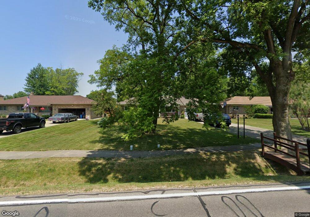
14436 Whitney Rd Strongsville, OH 44136
Estimated Value: $265,970 - $327,000
3
Beds
2
Baths
1,258
Sq Ft
$232/Sq Ft
Est. Value
About This Home
This home is located at 14436 Whitney Rd, Strongsville, OH 44136 and is currently estimated at $292,243, approximately $232 per square foot. 14436 Whitney Rd is a home located in Cuyahoga County with nearby schools including Strongsville High School, Bethel Christian Academy, and The Academy of St. Bartholomew.
Ownership History
Date
Name
Owned For
Owner Type
Purchase Details
Closed on
Apr 19, 1996
Sold by
Bitterman Betty Ann
Bought by
Wohlford Carl J and Major Sally A
Current Estimated Value
Home Financials for this Owner
Home Financials are based on the most recent Mortgage that was taken out on this home.
Original Mortgage
$114,665
Outstanding Balance
$5,444
Interest Rate
7.44%
Mortgage Type
New Conventional
Estimated Equity
$286,799
Purchase Details
Closed on
Jan 1, 1975
Bought by
Grega Bettyann
Create a Home Valuation Report for This Property
The Home Valuation Report is an in-depth analysis detailing your home's value as well as a comparison with similar homes in the area
Home Values in the Area
Average Home Value in this Area
Purchase History
| Date | Buyer | Sale Price | Title Company |
|---|---|---|---|
| Wohlford Carl J | $134,900 | -- | |
| Grega Bettyann | -- | -- |
Source: Public Records
Mortgage History
| Date | Status | Borrower | Loan Amount |
|---|---|---|---|
| Open | Wohlford Carl J | $114,665 |
Source: Public Records
Tax History Compared to Growth
Tax History
| Year | Tax Paid | Tax Assessment Tax Assessment Total Assessment is a certain percentage of the fair market value that is determined by local assessors to be the total taxable value of land and additions on the property. | Land | Improvement |
|---|---|---|---|---|
| 2024 | $4,063 | $86,520 | $12,635 | $73,885 |
| 2023 | $4,217 | $67,350 | $15,580 | $51,770 |
| 2022 | $4,186 | $67,340 | $15,580 | $51,770 |
| 2021 | $4,153 | $67,340 | $15,580 | $51,770 |
| 2020 | $3,946 | $56,600 | $13,090 | $43,510 |
| 2019 | $3,830 | $161,700 | $37,400 | $124,300 |
| 2018 | $3,476 | $56,600 | $13,090 | $43,510 |
| 2017 | $3,564 | $53,730 | $10,290 | $43,440 |
| 2016 | $3,535 | $53,730 | $10,290 | $43,440 |
| 2015 | $3,481 | $53,730 | $10,290 | $43,440 |
| 2014 | $3,481 | $52,160 | $9,980 | $42,180 |
Source: Public Records
Map
Nearby Homes
- 9531 Nicole Cir
- Buchanan Plan at The Enclave at Pine Lakes Crossing
- Belleville Plan at The Enclave at Pine Lakes Crossing
- 9890 Webster Rd
- 10010 Chevy Chase
- 9129 Tahoe Cir
- 13976 W Sprague Rd
- 14015 Byron Blvd
- 8761 Windfall Ct
- 14069 Basswood Cir
- 0 Webster Rd
- 7685 Saratoga Rd
- 12972 W Sprague Rd
- 7664 Gerald Dr
- 9945 Twelve Oaks Cir
- 12721 Patricia Dr
- 15485 Albion Rd
- 12631 Pinebrook Dr
- 13402 Bridgecreek Cir
- 13541 Indian Creek Dr
- 14352 Whitney Rd
- 14440 Whitney Rd
- 14484 Whitney Rd
- 9005 Oak Leaf Dr
- 14528 Whitney Rd
- 14397 Whitney Rd
- 14441 Whitney Rd
- 14266 Whitney Rd
- 14349 Whitney Rd
- 14127 Evelyn Ct
- 14151 Evelyn Ct
- 8967 Oak Leaf Dr
- 14307 Whitney Rd
- 14103 Evelyn Ct
- 14258 Whitney Rd
- 14580 Whitney Rd
- 8929 Oak Leaf Dr
- 14489 Whitney Rd
- 14577 Whitney Rd
- 14175 Evelyn Ct