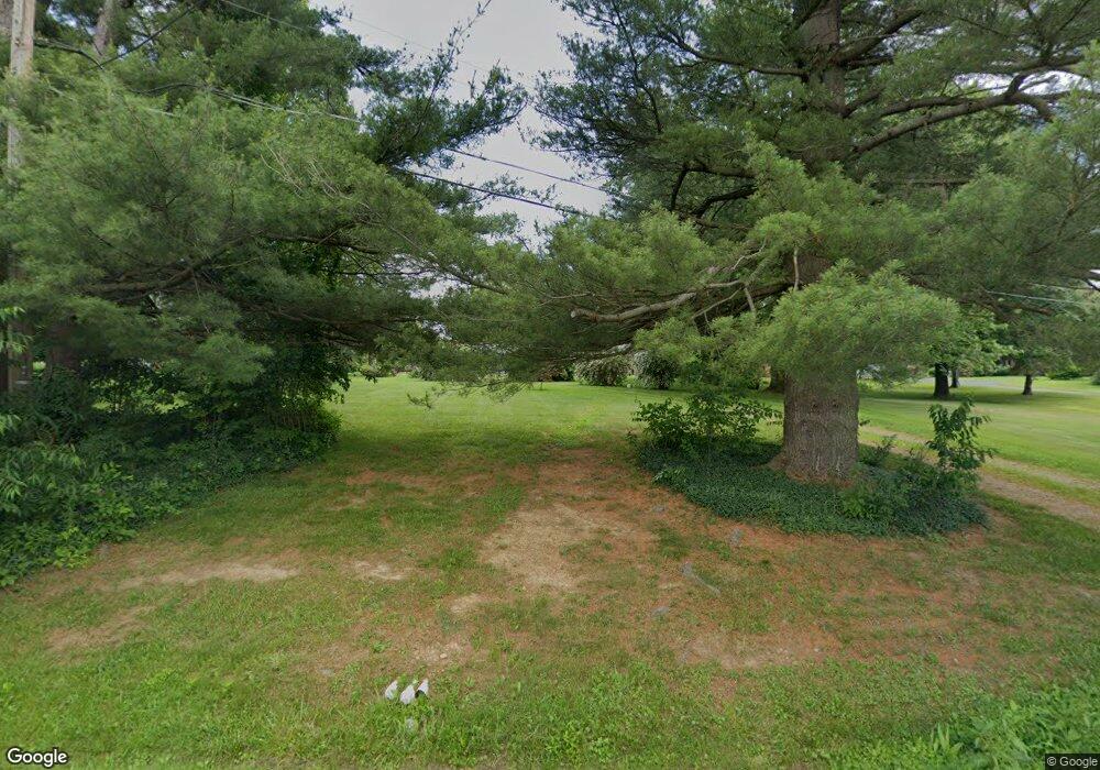
14437 Hatfield Rd Rittman, OH 44270
Estimated Value: $85,295 - $384,000
--
Bed
--
Bath
--
Sq Ft
1.4
Acres
About This Home
This home is located at 14437 Hatfield Rd, Rittman, OH 44270 and is currently estimated at $212,765. 14437 Hatfield Rd is a home located in Wayne County with nearby schools including Hazel Harvey Elementary School, Chippewa Intermediate School, and Chippewa Jr./Sr. High School.
Ownership History
Date
Name
Owned For
Owner Type
Purchase Details
Closed on
Feb 22, 2017
Sold by
Samic Beatrice N and Backer Donald
Bought by
Wiles Steven A
Current Estimated Value
Home Financials for this Owner
Home Financials are based on the most recent Mortgage that was taken out on this home.
Original Mortgage
$112,000
Interest Rate
4.12%
Mortgage Type
New Conventional
Purchase Details
Closed on
Jun 15, 2016
Sold by
Samic Beatrice N and Kimbel Ann M
Bought by
Samic Beatrice N
Purchase Details
Closed on
Jan 29, 2016
Sold by
Samic Beatrice M
Bought by
Samic Beatrice N and Kimbel Ann M
Create a Home Valuation Report for This Property
The Home Valuation Report is an in-depth analysis detailing your home's value as well as a comparison with similar homes in the area
Home Values in the Area
Average Home Value in this Area
Purchase History
| Date | Buyer | Sale Price | Title Company |
|---|---|---|---|
| Wiles Steven A | $140,000 | Title Direct Ltd | |
| Samic Beatrice N | -- | None Available | |
| Samic Beatrice N | $87,000 | Attorney |
Source: Public Records
Mortgage History
| Date | Status | Borrower | Loan Amount |
|---|---|---|---|
| Previous Owner | Wiles Steven A | $112,000 |
Source: Public Records
Tax History Compared to Growth
Tax History
| Year | Tax Paid | Tax Assessment Tax Assessment Total Assessment is a certain percentage of the fair market value that is determined by local assessors to be the total taxable value of land and additions on the property. | Land | Improvement |
|---|---|---|---|---|
| 2024 | $480 | $13,500 | $11,590 | $1,910 |
| 2023 | $480 | $13,500 | $11,590 | $1,910 |
| 2022 | $360 | $9,250 | $7,940 | $1,310 |
| 2021 | $363 | $9,250 | $7,940 | $1,310 |
| 2020 | $367 | $9,250 | $7,940 | $1,310 |
| 2019 | $354 | $8,670 | $7,750 | $920 |
| 2018 | $358 | $8,670 | $7,750 | $920 |
| 2017 | $355 | $8,670 | $7,750 | $920 |
| 2016 | $346 | $8,340 | $7,450 | $890 |
| 2015 | $342 | $8,340 | $7,450 | $890 |
| 2014 | $304 | $8,340 | $7,450 | $890 |
| 2013 | $314 | $8,430 | $7,460 | $970 |
Source: Public Records
Map
Nearby Homes
- 13270 Doylestown Rd
- 13293 Hatfield Rd
- 970 Eastern Rd
- 0 E Ohio Ave Unit 5118655
- 15041 Doylestown Rd
- 247 E Sunset Dr
- 13729 Galehouse Rd
- 22, 23 Gish Rd
- 243 Chelley Ln
- 200 Industrial St
- 258 Industrial St
- 1008 Barn Swallow Cir
- 1014 Marissa Dr
- 245 Industrial St
- 15500 Freedom Dr
- 0 Akron Rd Unit 5123781
- 500 W Clinton St
- 228 Country Meadow Ln
- 12160 Harvey Cir
- 0 Harvey Cir
- 14437 Hatfield Rd
- 14385 Hatfield Rd
- 14379 Hatfield Rd
- 14483 Hatfield Rd
- 14442 Hatfield Rd
- 14359 Hatfield Rd
- 14372 Hatfield Rd
- 14506 Hatfield Rd
- 0 Hatfield Rd
- 14317 Hatfield Rd
- 14328 Hatfield Rd
- 14560 Hatfield Rd
- 13136 Doylestown Rd
- 13246 Doylestown Rd
- 13100 Doylestown Rd
- 14252 Hatfield Rd
- 13310 Doylestown Rd
- 14582 Mount Eaton Rd
- 14598 Hatfield Rd
- 13159 Doylestown Rd