1444 Ben Davis Rd Buchanan, GA 30113
Estimated Value: $134,485 - $161,000
2
Beds
--
Bath
801
Sq Ft
$184/Sq Ft
Est. Value
About This Home
This home is located at 1444 Ben Davis Rd, Buchanan, GA 30113 and is currently estimated at $147,743, approximately $184 per square foot. 1444 Ben Davis Rd is a home with nearby schools including Haralson County High School.
Ownership History
Date
Name
Owned For
Owner Type
Purchase Details
Closed on
Jul 19, 2021
Sold by
Harris Rita
Bought by
White Demeris and White Michael J
Current Estimated Value
Purchase Details
Closed on
Sep 14, 2020
Sold by
Swann Sheila
Bought by
Davis Benny Len and White Demeris
Purchase Details
Closed on
Apr 10, 1993
Sold by
Swann Alice Mae Davis Estate By Priest G
Bought by
Davis U C J B Butler Avery, Geor
Purchase Details
Closed on
Apr 9, 1993
Sold by
Davis U C Estate By Davis J B & Others
Bought by
Davis George and Benny Len
Purchase Details
Closed on
Apr 8, 1978
Sold by
Davis B L Mrs Estate By Swann Alice Mrs
Bought by
Davis U C J B Butler Avery, Geor
Create a Home Valuation Report for This Property
The Home Valuation Report is an in-depth analysis detailing your home's value as well as a comparison with similar homes in the area
Purchase History
| Date | Buyer | Sale Price | Title Company |
|---|---|---|---|
| White Demeris | -- | -- | |
| Davis Benny Len | -- | -- | |
| Davis U C J B Butler Avery, Geor | -- | -- | |
| Davis George | -- | -- | |
| Davis U C J B Butler Avery, Geor | -- | -- |
Source: Public Records
Tax History
| Year | Tax Paid | Tax Assessment Tax Assessment Total Assessment is a certain percentage of the fair market value that is determined by local assessors to be the total taxable value of land and additions on the property. | Land | Improvement |
|---|---|---|---|---|
| 2025 | $213 | $91,599 | $58,612 | $32,987 |
| 2024 | $213 | $27,504 | $20,798 | $6,706 |
| 2023 | $45 | $25,703 | $17,288 | $8,415 |
| 2022 | $193 | $23,526 | $17,288 | $6,238 |
| 2021 | $383 | $23,122 | $17,288 | $5,834 |
| 2020 | $475 | $24,183 | $17,288 | $6,895 |
| 2019 | $487 | $23,914 | $17,288 | $6,626 |
| 2018 | $405 | $20,877 | $17,288 | $3,589 |
| 2017 | $435 | $20,426 | $17,288 | $3,138 |
| 2016 | $560 | $25,566 | $19,242 | $6,324 |
| 2015 | $552 | $25,320 | $19,242 | $6,079 |
| 2014 | $559 | $25,321 | $19,242 | $6,079 |
Source: Public Records
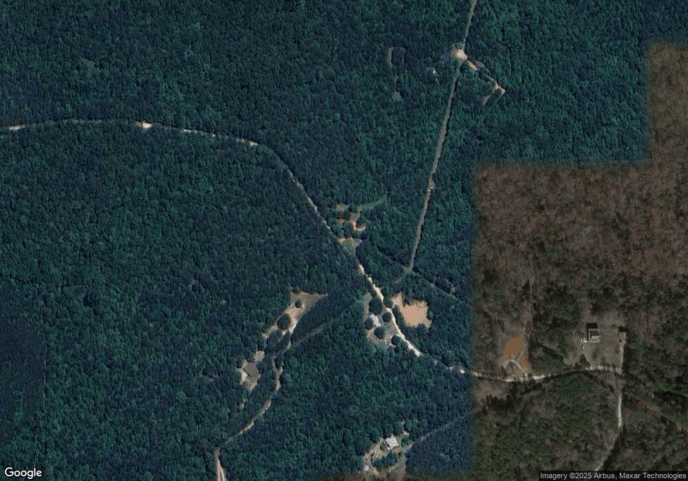
Map
Nearby Homes
- 1470 Ben Davis Rd
- 1475 Ben Davis Rd
- 73 Friendship Church Rd
- 1225 Coppermine Rd
- 0000 Corinth-Five Points Rd
- 262 Corinth-Five Points Rd
- 0 Hutcheson Road Off
- 0 Corinth Five Points Rd Unit 10704513
- 420 Ed Church Rd
- 327 Jeffers Rd
- 33 Tolbert Rd
- 40 Cherokee Cir
- 6 Cherokee Cir
- 50 Dogwood Trail
- 00 Coppermine Rd Trac #1
- 5960 Georgia Highway 120
- 62 Joe Rowell Rd
- 735 Seabreeze Lake Rd
- 731 Seabreeze Lake Rd
- 3462 Vinson Mountain Rd
- 1467 Ben Davis Rd
- 1604 Ben Davis Rd
- 1533 Ben Davis Rd
- 1665 Ben Davis Rd
- 1463 Ben Davis Rd
- 1694 Rockmart Rd
- 1786 Rockmart Rd
- 1794 Rockmart Rd
- 1830 Ben Davis Rd
- 1626 Rockmart Rd
- 1590 Rockmart Rd
- 1596 Rockmart Rd
- 1596 Rockmart Rd
- 1474 Rockmart Rd
- 276 Oscar Gentry Rd
- 1550 Rockmart Rd
- 1011 Ben Davis Rd
- 1442 Rockmart Rd
- 108 Oscar Gentry Rd
- 1584 Rockmart Rd
Your Personal Tour Guide
Ask me questions while you tour the home.