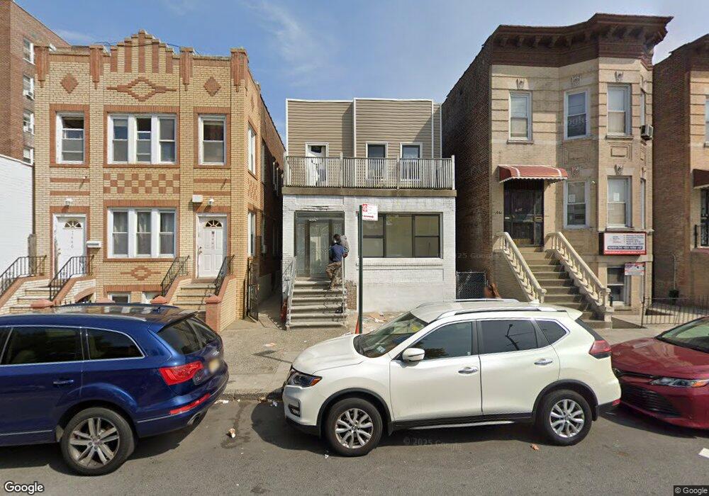
1444 Olmstead Ave Bronx, NY 10462
Parkchester NeighborhoodEstimated Value: $794,659 - $1,035,000
--
Bed
--
Bath
2,394
Sq Ft
$384/Sq Ft
Est. Value
About This Home
This home is located at 1444 Olmstead Ave, Bronx, NY 10462 and is currently estimated at $919,915, approximately $384 per square foot. 1444 Olmstead Ave is a home located in Bronx County with nearby schools including P.S. 106 - Parkchester, M.S. 127 - The Castle Hill Middle School, and St Helena School.
Ownership History
Date
Name
Owned For
Owner Type
Purchase Details
Closed on
Nov 3, 2023
Sold by
Estate Of Lorraine A Nugent and Estate Of Lorraine A Stephens
Bought by
Mahfuza Llc
Current Estimated Value
Home Financials for this Owner
Home Financials are based on the most recent Mortgage that was taken out on this home.
Original Mortgage
$375,000
Outstanding Balance
$367,554
Interest Rate
7.31%
Mortgage Type
Purchase Money Mortgage
Estimated Equity
$552,361
Purchase Details
Closed on
Sep 24, 2021
Sold by
Stephens Walt and Stephens Walter
Bought by
Mendez Nichole M
Purchase Details
Closed on
Apr 15, 2012
Sold by
Stephens Walt
Bought by
Stephens Walt
Purchase Details
Closed on
Oct 25, 2003
Sold by
Stephens Lorraine and Stephens Walt
Bought by
Stephens Lorraine and Stephens Walt
Create a Home Valuation Report for This Property
The Home Valuation Report is an in-depth analysis detailing your home's value as well as a comparison with similar homes in the area
Home Values in the Area
Average Home Value in this Area
Purchase History
| Date | Buyer | Sale Price | Title Company |
|---|---|---|---|
| Mahfuza Llc | $760,000 | -- | |
| Mahfuza Llc | $760,000 | -- | |
| Mendez Nichole M | -- | -- | |
| Mendez Nichole M | -- | -- | |
| Stephens Walt | -- | -- | |
| Stephens Walt | -- | -- | |
| Stephens Lorraine | -- | -- | |
| Stephens Lorraine | -- | -- |
Source: Public Records
Mortgage History
| Date | Status | Borrower | Loan Amount |
|---|---|---|---|
| Open | Mahfuza Llc | $375,000 | |
| Closed | Mahfuza Llc | $375,000 |
Source: Public Records
Tax History Compared to Growth
Tax History
| Year | Tax Paid | Tax Assessment Tax Assessment Total Assessment is a certain percentage of the fair market value that is determined by local assessors to be the total taxable value of land and additions on the property. | Land | Improvement |
|---|---|---|---|---|
| 2025 | $7,005 | $36,971 | $6,237 | $30,734 |
| 2024 | $7,005 | $34,878 | $6,092 | $28,786 |
| 2023 | $6,682 | $32,904 | $5,594 | $27,310 |
| 2022 | $6,569 | $45,360 | $9,180 | $36,180 |
| 2021 | $6,570 | $38,280 | $9,180 | $29,100 |
| 2020 | $6,225 | $39,900 | $9,180 | $30,720 |
| 2019 | $5,787 | $36,120 | $9,180 | $26,940 |
| 2018 | $5,292 | $27,420 | $9,180 | $18,240 |
| 2017 | $5,381 | $27,867 | $7,984 | $19,883 |
| 2016 | $5,233 | $27,729 | $8,418 | $19,311 |
| 2015 | $2,951 | $26,160 | $10,020 | $16,140 |
| 2014 | $2,951 | $25,948 | $9,916 | $16,032 |
Source: Public Records
Map
Nearby Homes
- 2181 Starling Ave Unit 5D
- 1521 Unionport Rd Unit 11G
- 2075 Saint Raymond Ave Unit 5H
- 1545 Unionport Rd Unit 6B
- 2012 Benedict Ave
- 2131 Newbold Ave
- 1540 Unionport Rd Unit 7F
- 1554 Unionport Rd Unit 3B
- 1450 Parkchester Rd Unit 3H
- 1949 Mcgraw Ave Unit 7F
- 34 Metropolitan Oval Unit 8C
- 34 Metropolitan Oval Unit 1H
- 20 Metropolitan Oval Unit 11A
- 22 Metropolitan Oval Unit 7C
- 18 Metropolitan Oval Unit 8A
- 18 Metropolitan Oval Unit 3C
- 1470 East Ave Unit 5G
- 1926 Mcgraw Ave
- 1428 Doris St
- 1604 Metropolitan Ave Unit 12G
- 1446 Olmstead Ave
- 1442 Olmstead Ave
- 1442 Olmstead Ave Unit 2
- 1442 Olmstead Ave
- 1440 Olmstead Ave
- 1448 Olmstead Ave
- 1438 Unionport Rd
- 2100 Starling Ave
- 1355 Odell St
- 1357 Odell St
- 1353 Odell St
- 1351 Odell St
- 1462-1464 Unionport Rd
- 2112 Starling Ave
- 2112 Starling Ave Unit 4G
- 2112 Starling Ave Unit 2G
- 2098 Starling Ave
- 2096 Starling Ave
- 1430 Unionport Rd
- 1439 Unionport Rd