14440 Tyson Trail Camden, MI 49232
Estimated Value: $572,197 - $714,000
--
Bed
1
Bath
1,309
Sq Ft
$505/Sq Ft
Est. Value
About This Home
This home is located at 14440 Tyson Trail, Camden, MI 49232 and is currently estimated at $661,549, approximately $505 per square foot. 14440 Tyson Trail is a home with nearby schools including Camden-Frontier K-8 School and Camden-Frontier High School.
Ownership History
Date
Name
Owned For
Owner Type
Purchase Details
Closed on
Sep 17, 2024
Sold by
Beck Donald D and Beck Faith
Bought by
Beck Donald D and Beck Faith
Current Estimated Value
Purchase Details
Closed on
May 1, 1994
Bought by
Beck
Create a Home Valuation Report for This Property
The Home Valuation Report is an in-depth analysis detailing your home's value as well as a comparison with similar homes in the area
Home Values in the Area
Average Home Value in this Area
Purchase History
| Date | Buyer | Sale Price | Title Company |
|---|---|---|---|
| Beck Donald D | -- | None Listed On Document | |
| Beck Donald D | -- | None Listed On Document | |
| Beck | $42,900 | -- |
Source: Public Records
Tax History Compared to Growth
Tax History
| Year | Tax Paid | Tax Assessment Tax Assessment Total Assessment is a certain percentage of the fair market value that is determined by local assessors to be the total taxable value of land and additions on the property. | Land | Improvement |
|---|---|---|---|---|
| 2025 | $3,616 | $339,600 | $0 | $0 |
| 2024 | $1,511 | $323,600 | $0 | $0 |
| 2023 | $1,440 | $271,400 | $0 | $0 |
| 2022 | $3,464 | $224,800 | $0 | $0 |
| 2021 | $3,382 | $214,000 | $0 | $0 |
| 2020 | $3,421 | $214,100 | $0 | $0 |
| 2019 | $3,262 | $202,600 | $0 | $0 |
| 2018 | $3,130 | $177,000 | $0 | $0 |
| 2017 | $2,993 | $176,660 | $0 | $0 |
| 2016 | $2,968 | $177,380 | $0 | $0 |
| 2015 | $1,213 | $177,380 | $0 | $0 |
| 2013 | $1,175 | $158,660 | $0 | $0 |
| 2012 | $1,147 | $151,970 | $0 | $0 |
Source: Public Records
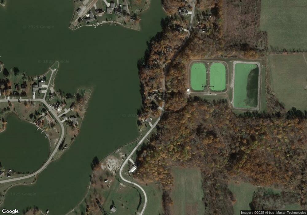
Map
Nearby Homes
- 14600 W Diane Dr
- 13857 E Diane Dr
- 13791 E Diane Dr
- 14401 Woodbridge Rd
- 14934 Heather Ct
- 13551 Hillsdale Rd
- 623-624 Yuma Trail
- 362 Wasco Trail
- 199 Shoshone Trail
- 155 Navajo Trail
- 988-989 Seneca Dr
- 207 Modoc Trail
- 213 Navajo Trail
- 131 Choctaw Trail
- 0 Seneca Dr
- 234 Seneca Dr
- 600 Seneca Dr
- 11794 Clark Rd
- 14621 Laura Ln
- 4002 & 4014 Meadowlawn Dr
- 14430 Tyson Trail
- 14500 Tyson Trail
- 14288 Tyson Trail
- 14509 Tyson Trail
- 14410 Tyson Trail
- 14400 Tyson Trail
- 11459 Easy St
- 14396 Tyson Trail
- 14390 Tyson Trail
- 14531 Easy St
- 14871 Easy St
- 14760 W Diane Dr
- 14320 Tyson Trail
- 14756 W Diane Dr
- 14750 W Diane Dr
- 14325 Tyson Trail
- 14289 Suelynn Cir
- 14289 Sue Lynn
- 14762 W Diane Dr
- 14299 Tyson Trail