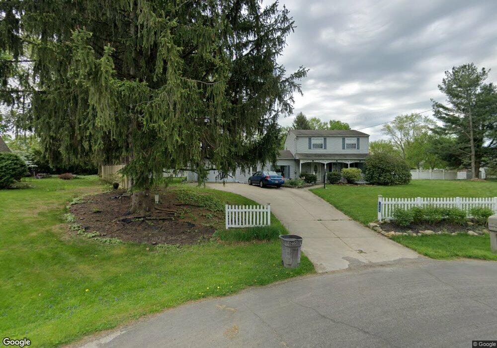
1445 Galaxy Cir Mogadore, OH 44260
Estimated Value: $237,580 - $261,000
3
Beds
2
Baths
1,682
Sq Ft
$151/Sq Ft
Est. Value
About This Home
This home is located at 1445 Galaxy Cir, Mogadore, OH 44260 and is currently estimated at $253,395, approximately $150 per square foot. 1445 Galaxy Cir is a home located in Portage County with nearby schools including Suffield Elementary School, Field Middle School, and Field High School.
Ownership History
Date
Name
Owned For
Owner Type
Purchase Details
Closed on
Mar 17, 2004
Sold by
Graves Matthew Warren and Graves Edith Mae
Bought by
Stauffer Diane M and Hardy Terri M
Current Estimated Value
Home Financials for this Owner
Home Financials are based on the most recent Mortgage that was taken out on this home.
Original Mortgage
$104,400
Outstanding Balance
$49,168
Interest Rate
5.78%
Mortgage Type
Purchase Money Mortgage
Estimated Equity
$204,227
Purchase Details
Closed on
Aug 25, 1988
Bought by
Graves Matthew Warren
Create a Home Valuation Report for This Property
The Home Valuation Report is an in-depth analysis detailing your home's value as well as a comparison with similar homes in the area
Purchase History
| Date | Buyer | Sale Price | Title Company |
|---|---|---|---|
| Stauffer Diane M | $130,500 | Real Living Title Agency Ltd | |
| Graves Matthew Warren | $47,000 | -- |
Source: Public Records
Mortgage History
| Date | Status | Borrower | Loan Amount |
|---|---|---|---|
| Open | Stauffer Diane M | $104,400 | |
| Closed | Stauffer Diane M | $28,100 |
Source: Public Records
Tax History Compared to Growth
Tax History
| Year | Tax Paid | Tax Assessment Tax Assessment Total Assessment is a certain percentage of the fair market value that is determined by local assessors to be the total taxable value of land and additions on the property. | Land | Improvement |
|---|---|---|---|---|
| 2024 | $2,318 | $67,380 | $11,730 | $55,650 |
| 2023 | $1,956 | $48,620 | $9,380 | $39,240 |
| 2022 | $1,975 | $48,620 | $9,380 | $39,240 |
| 2021 | $2,082 | $48,620 | $9,380 | $39,240 |
| 2020 | $1,752 | $41,270 | $9,380 | $31,890 |
| 2019 | $1,761 | $41,270 | $9,380 | $31,890 |
| 2017 | $1,222 | $35,740 | $9,380 | $26,360 |
| 2016 | $1,208 | $35,740 | $9,380 | $26,360 |
Source: Public Records
Map
Nearby Homes
- 1791 Winterhaven Dr
- 1545 Whitehall Dr
- 2100 Steffy Rd
- 1340 Trares Rd Unit 1342
- 1324 Trares Rd
- S/L 11 959 Sunrise Dr
- S/L 38 1150 Lakeview Dr
- S/L 37 1140 Lakeview Dr
- 1298 Aberagg Rd
- 1254 Aberagg Rd
- 1811 Randolph Rd
- VL 863 State Route 43
- 502 Valley Crest Dr
- 14162 Congress Lake Ave NE
- 1026 Hartville Rd N
- 3401 Waterloo Rd
- 0 Hartville Rd
- 4165 Ledgewater Dr
- 375 Grant Ave
- 2355 Martin Rd
- 1453 Galaxy Cir
- 1373 Whitehall Dr
- 1365 Whitehall Dr
- 1435 Galaxy Cir
- 1383 Whitehall Dr
- 1461 Galaxy Cir
- 1444 Summerset Dr
- 1355 Whitehall Dr
- 1425 Galaxy Dr
- 1454 Summerset Dr
- 1471 Galaxy Dr
- 1462 Summerset Dr
- 1393 Whitehall Dr
- 1455 Whitehall Dr
- 1470 Summerset Dr
- 1462 Galaxy Dr
- 1419 Whitehall Dr
- 1481 Galaxy Dr
- 1447 Whitehall Dr
- 1374 Whitehall Dr