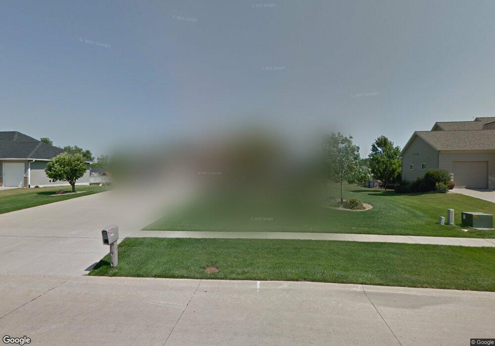
1445 Maple St Robins, IA 52328
Estimated Value: $470,172 - $532,000
4
Beds
5
Baths
1,897
Sq Ft
$264/Sq Ft
Est. Value
About This Home
This home is located at 1445 Maple St, Robins, IA 52328 and is currently estimated at $501,724, approximately $264 per square foot. 1445 Maple St is a home located in Linn County with nearby schools including Nixon Elementary School, Harding Middle School, and John F. Kennedy High School.
Ownership History
Date
Name
Owned For
Owner Type
Purchase Details
Closed on
Mar 30, 2006
Sold by
Barcz Scott and Barcz Andrea
Bought by
Brown Johnny M and Brown Iris R
Current Estimated Value
Home Financials for this Owner
Home Financials are based on the most recent Mortgage that was taken out on this home.
Original Mortgage
$364,000
Outstanding Balance
$209,420
Interest Rate
6.38%
Mortgage Type
Fannie Mae Freddie Mac
Estimated Equity
$292,304
Purchase Details
Closed on
Oct 20, 2003
Sold by
Houck John J
Bought by
Barcz Scott and Barcz Andrea
Create a Home Valuation Report for This Property
The Home Valuation Report is an in-depth analysis detailing your home's value as well as a comparison with similar homes in the area
Home Values in the Area
Average Home Value in this Area
Purchase History
We collect this data history from publicly available records. To have your information removed, we recommend requesting removal directly through your county’s website.
| Date | Buyer | Sale Price | Title Company |
|---|---|---|---|
| Brown Johnny M | $363,500 | None Available | |
| Barcz Scott | $49,500 | -- |
Source: Public Records
Mortgage History
We collect this data history from publicly available records. To have your information removed, we recommend requesting removal directly through your county’s website.
| Date | Status | Borrower | Loan Amount |
|---|---|---|---|
| Open | Brown Johnny M | $364,000 |
Source: Public Records
Tax History
| Year | Tax Paid | Tax Assessment Tax Assessment Total Assessment is a certain percentage of the fair market value that is determined by local assessors to be the total taxable value of land and additions on the property. | Land | Improvement |
|---|---|---|---|---|
| 2025 | $412 | $447,400 | $69,100 | $378,300 |
| 2024 | $464 | $461,000 | $69,100 | $391,900 |
| 2023 | $464 | $461,000 | $69,100 | $391,900 |
| 2022 | $5,392 | $344,600 | $69,100 | $275,500 |
| 2021 | $5,648 | $344,600 | $69,100 | $275,500 |
| 2020 | $5,648 | $332,000 | $69,100 | $262,900 |
| 2019 | $5,606 | $338,200 | $82,900 | $255,300 |
| 2018 | $5,512 | $338,200 | $82,900 | $255,300 |
| 2017 | $5,698 | $334,500 | $82,900 | $251,600 |
| 2016 | $5,698 | $334,500 | $82,900 | $251,600 |
| 2015 | $5,716 | $334,500 | $82,900 | $251,600 |
| 2014 | $5,566 | $334,500 | $82,900 | $251,600 |
| 2013 | $5,440 | $334,500 | $82,900 | $251,600 |
Source: Public Records
Map
Nearby Homes
- 0 Maple St
- 570 Landau St
- 435 Phaeton Dr
- 1105 Maple St
- 545 Evergreen Ln
- 1095 E Main St
- 9014 Grand Oaks Dr NE
- 70.78 Acres M L Quass Rd
- 8932 Norway Dr NE
- 425 Northhaven Dr
- 39.69 Acres M L Center Point Rd
- 8.98 Acres M L N Center Point Rd
- 28.72 Acres N Center Point Rd
- 3230 N Center Point Rd Unit Lot 3
- 395 S Troy Rd
- 325 Dutch Dr
- 305 Dutch Dr
- 8506 Federalist Rd
- 8201 Council St NE
- 8714 Yeager Ln NE
Your Personal Tour Guide
Ask me questions while you tour the home.