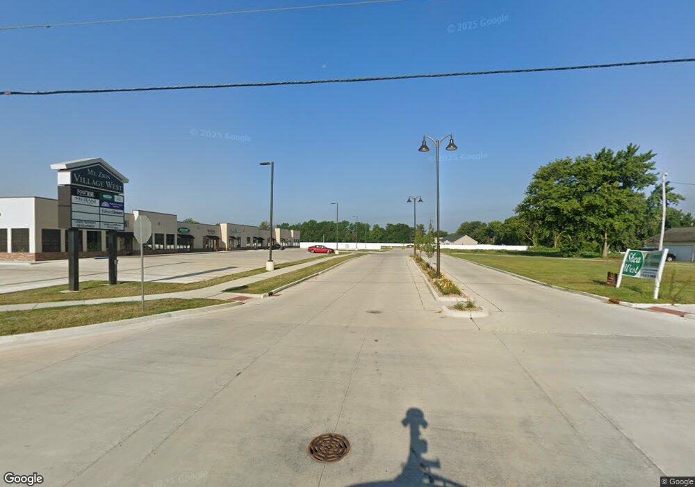
1445 N State Route 121 Unit 121 Mount Zion, IL 62549
Estimated Value: $205,068
--
Bed
--
Bath
1,431
Sq Ft
$143/Sq Ft
Est. Value
About This Home
This home is located at 1445 N State Route 121 Unit 121, Mount Zion, IL 62549 and is currently priced at $205,068, approximately $143 per square foot. 1445 N State Route 121 Unit 121 is a home located in Macon County with nearby schools including McGaughey Elementary School, Mt. Zion Intermediate School, and Mt. Zion Elementary School.
Ownership History
Date
Name
Owned For
Owner Type
Purchase Details
Closed on
Oct 27, 2020
Sold by
Timmons Trust
Bought by
Lewis Rental Properties Llc
Current Estimated Value
Purchase Details
Closed on
Dec 6, 2011
Sold by
Timmons Darrell A and Timmons Janice L
Bought by
Timmons Darrell A and Timmons Janice L
Purchase Details
Closed on
May 6, 2006
Sold by
Timmons Darrell Alfred and Timmons Janice Louise
Bought by
Timmons Darrell A and Timmons Janice L
Create a Home Valuation Report for This Property
The Home Valuation Report is an in-depth analysis detailing your home's value as well as a comparison with similar homes in the area
Home Values in the Area
Average Home Value in this Area
Purchase History
| Date | Buyer | Sale Price | Title Company |
|---|---|---|---|
| Lewis Rental Properties Llc | $165,000 | None Available | |
| Timmons Darrell A | -- | None Available | |
| Timmons Darrell A | -- | None Available | |
| Timmons Darrell A | -- | None Available |
Source: Public Records
Tax History Compared to Growth
Tax History
| Year | Tax Paid | Tax Assessment Tax Assessment Total Assessment is a certain percentage of the fair market value that is determined by local assessors to be the total taxable value of land and additions on the property. | Land | Improvement |
|---|---|---|---|---|
| 2023 | $0 | $0 | $0 | $0 |
| 2022 | $3,667 | $44,313 | $5,338 | $38,975 |
| 2021 | $2,632 | $41,513 | $5,000 | $36,513 |
| 2020 | $2,357 | $38,638 | $2,925 | $35,713 |
| 2019 | $2,357 | $38,638 | $2,925 | $35,713 |
| 2018 | $2,267 | $37,651 | $2,850 | $34,801 |
| 2017 | $2,223 | $36,927 | $2,795 | $34,132 |
| 2016 | $2,188 | $36,284 | $2,746 | $33,538 |
| 2015 | $2,109 | $35,925 | $2,719 | $33,206 |
| 2014 | $2,033 | $35,925 | $2,719 | $33,206 |
| 2013 | $2,057 | $35,925 | $2,719 | $33,206 |
Source: Public Records
Map
Nearby Homes
- 570 Fawn Ct
- 1440 N Alexander Dr
- 1625 Ridgewood Ct
- 3930 S Mount Zion Rd
- 1700 Brentwood Dr
- 860 W Wildwood Dr
- 5909 Camp Warren Rd
- 125 W Walnut St
- 1610 Robin Ct
- 9 Blakeridge Place
- 695 Country Ct
- 1030 Country Manor
- 524 Elm St
- 50 Sundance Dr
- 1420 Noble Dr
- 265 Carrington Ave
- 3330 S Baltimore Ave
- 6680 John Dr
- 2125 Buckhead Ave
- 6686 John Dr
- 1435 N State Route 121 Unit 121
- 1430 Illinois 121
- 1505 N State Route 121 Unit 121
- 1405 Illinois 121
- 1405 N State Route 121 Hwy
- 1410 E Village Pkwy
- 1410 N State Route 121 Unit 121
- 1460 N State Route 121
- 1355 N State Route 121
- 1355 Illinois 121
- 1510 N State Route 121 Unit 121
- 1510 N State Route 121
- 1515 N State Route 121
- 1455 E Village Pkwy
- 1350 Illinois 121
- 1410 Illinois 121
- 1335 N State Route 121
- 1395 Mount Zion Pkwy
- 1315 Illinois 121
- 1315 N State Route 121