1445 W Harbor Pointe Dr Salt Lake City, UT 84123
Estimated Value: $308,297 - $325,000
2
Beds
1
Bath
957
Sq Ft
$328/Sq Ft
Est. Value
About This Home
This home is located at 1445 W Harbor Pointe Dr, Salt Lake City, UT 84123 and is currently estimated at $314,074, approximately $328 per square foot. 1445 W Harbor Pointe Dr is a home located in Salt Lake County with nearby schools including Plymouth Elementary School, Eisenhower Jr High School, and Taylorsville High School.
Ownership History
Date
Name
Owned For
Owner Type
Purchase Details
Closed on
Sep 17, 2013
Sold by
Boyd Patricia C
Bought by
Linan Carlos E and Linan Teresa E
Current Estimated Value
Home Financials for this Owner
Home Financials are based on the most recent Mortgage that was taken out on this home.
Original Mortgage
$89,600
Outstanding Balance
$21,743
Interest Rate
3.4%
Mortgage Type
New Conventional
Estimated Equity
$292,331
Purchase Details
Closed on
May 27, 2009
Sold by
Hulsizer Lynda C
Bought by
Boyd Patricia C
Home Financials for this Owner
Home Financials are based on the most recent Mortgage that was taken out on this home.
Original Mortgage
$77,000
Interest Rate
4.44%
Mortgage Type
Purchase Money Mortgage
Purchase Details
Closed on
Oct 20, 1999
Sold by
Godfrey Brenda Lee
Bought by
Hulsizer Lynda C
Home Financials for this Owner
Home Financials are based on the most recent Mortgage that was taken out on this home.
Original Mortgage
$91,350
Interest Rate
7.86%
Mortgage Type
Purchase Money Mortgage
Create a Home Valuation Report for This Property
The Home Valuation Report is an in-depth analysis detailing your home's value as well as a comparison with similar homes in the area
Home Values in the Area
Average Home Value in this Area
Purchase History
| Date | Buyer | Sale Price | Title Company |
|---|---|---|---|
| Linan Carlos E | -- | First American Title | |
| Boyd Patricia C | -- | First American Title | |
| Hulsizer Lynda C | -- | Surety Title |
Source: Public Records
Mortgage History
| Date | Status | Borrower | Loan Amount |
|---|---|---|---|
| Open | Linan Carlos E | $89,600 | |
| Previous Owner | Boyd Patricia C | $77,000 | |
| Previous Owner | Hulsizer Lynda C | $91,350 |
Source: Public Records
Tax History Compared to Growth
Tax History
| Year | Tax Paid | Tax Assessment Tax Assessment Total Assessment is a certain percentage of the fair market value that is determined by local assessors to be the total taxable value of land and additions on the property. | Land | Improvement |
|---|---|---|---|---|
| 2025 | $1,748 | $297,800 | $89,300 | $208,500 |
| 2024 | $1,748 | $286,700 | $86,000 | $200,700 |
| 2023 | $1,656 | $266,400 | $79,900 | $186,500 |
| 2022 | $1,811 | $293,800 | $88,100 | $205,700 |
| 2021 | $1,446 | $204,400 | $61,300 | $143,100 |
| 2020 | $1,380 | $184,600 | $55,400 | $129,200 |
| 2019 | $1,299 | $169,700 | $50,900 | $118,800 |
| 2018 | $1,144 | $144,000 | $43,200 | $100,800 |
| 2017 | $984 | $130,200 | $39,000 | $91,200 |
| 2016 | $919 | $121,500 | $36,400 | $85,100 |
| 2015 | $935 | $115,600 | $34,600 | $81,000 |
| 2014 | $943 | $114,500 | $34,300 | $80,200 |
Source: Public Records
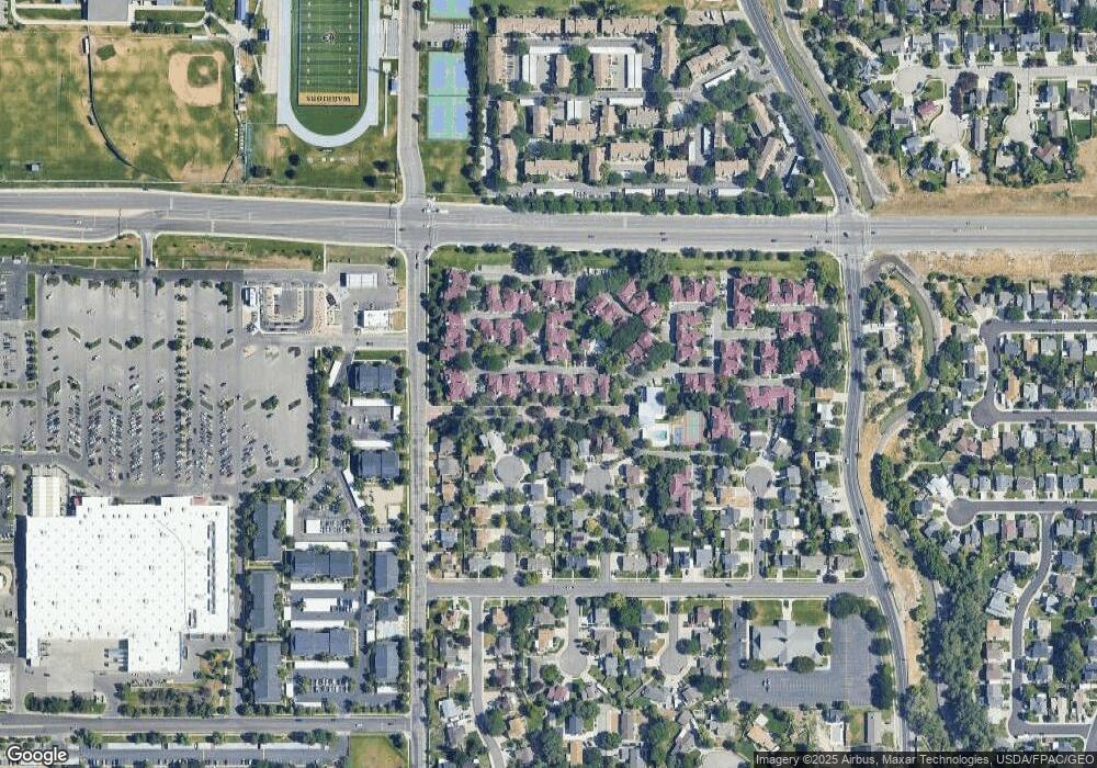
Map
Nearby Homes
- 1443 W Spinnaker Row Unit 96
- 5449 S Coastal Ct
- 5435 S Break Water Dr
- 1401 Beacon Hill Dr Unit 118
- 1380 W Ocean Ct
- 1370 W Telegraph Hill Dr
- 1381 Beacon Hill Dr
- 1334 Portside Way Unit 165
- 1273 W Brister Dr
- 1886 W Champagne Ave
- 5552 Hew Wood Dr
- 2016 W Hew Wood Ct
- 5920 S 1300 W
- 2001 W 5540 S
- 5020 S 1250 W
- 1475 W 4950 S
- 2063 W Chateau Ave
- 2127 Cedar Breaks Dr
- 2104 W Champagne Cir
- 1201 W Marinwood Ave
- 1445 W Harbor Pointe Dr
- 5441 Spinnaker Row
- 1439 W Harbor Pointe Dr Unit 33
- 1439 W Harbor Pointe Dr
- 5439 Spinnaker Row
- 1435 W Harbor Pointe Dr Unit 31
- 1437 W Harbor Pointe Dr Unit D32
- 1435 W Harbor Pointe Dr
- 1433 W Harbor Pointe Dr
- 1431 W Harbor Pointe Dr Unit 29
- 1433 W Harbor Pointe Dr Unit 30
- 5437 Spinnaker Row
- 1447 W Harbor Pointe Dr
- 1447 W Harbor Pointe Dr Unit 35
- 5429 Spinnaker Row
- 5451 S Spinnaker Row
- 5429 S Spinnaker Row Unit 13
- 5429 S Spinnaker Row
- 5451 Spinnaker Row
- 1451 W Harbor Pointe Dr