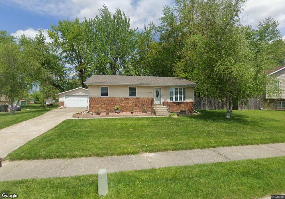
14454 Riskin Rd Cedar Lake, IN 46303
Estimated Value: $246,000 - $285,000
3
Beds
2
Baths
1,160
Sq Ft
$231/Sq Ft
Est. Value
About This Home
This home is located at 14454 Riskin Rd, Cedar Lake, IN 46303 and is currently estimated at $267,413, approximately $230 per square foot. 14454 Riskin Rd is a home located in Lake County with nearby schools including Douglas MacArthur Elementary School, Robert Taft Middle School, and Crown Point High School.
Ownership History
Date
Name
Owned For
Owner Type
Purchase Details
Closed on
Jul 10, 2024
Sold by
Toth Cary A and Toth Christine M
Bought by
Toth Cary A
Current Estimated Value
Purchase Details
Closed on
Mar 30, 2006
Sold by
Remlinger Julie A and Cokinis Julie A
Bought by
Toth Cary A and Toth Christine M
Home Financials for this Owner
Home Financials are based on the most recent Mortgage that was taken out on this home.
Original Mortgage
$116,450
Interest Rate
6.38%
Mortgage Type
Fannie Mae Freddie Mac
Create a Home Valuation Report for This Property
The Home Valuation Report is an in-depth analysis detailing your home's value as well as a comparison with similar homes in the area
Home Values in the Area
Average Home Value in this Area
Purchase History
| Date | Buyer | Sale Price | Title Company |
|---|---|---|---|
| Toth Cary A | -- | None Listed On Document | |
| Toth Cary A | -- | The Talon Group |
Source: Public Records
Mortgage History
| Date | Status | Borrower | Loan Amount |
|---|---|---|---|
| Previous Owner | Toth Cary A | $116,450 |
Source: Public Records
Tax History Compared to Growth
Tax History
| Year | Tax Paid | Tax Assessment Tax Assessment Total Assessment is a certain percentage of the fair market value that is determined by local assessors to be the total taxable value of land and additions on the property. | Land | Improvement |
|---|---|---|---|---|
| 2024 | $5,454 | $203,100 | $31,600 | $171,500 |
| 2023 | $2,143 | $196,000 | $31,600 | $164,400 |
| 2022 | $2,143 | $194,500 | $31,600 | $162,900 |
| 2021 | $1,701 | $171,600 | $22,600 | $149,000 |
| 2020 | $1,671 | $164,200 | $22,600 | $141,600 |
| 2019 | $1,589 | $154,500 | $22,600 | $131,900 |
| 2018 | $1,618 | $152,300 | $22,600 | $129,700 |
| 2017 | $1,613 | $146,100 | $22,600 | $123,500 |
| 2016 | $1,640 | $143,800 | $22,600 | $121,200 |
| 2014 | $1,445 | $141,300 | $22,600 | $118,700 |
| 2013 | $1,534 | $144,100 | $22,600 | $121,500 |
Source: Public Records
Map
Nearby Homes
- 14615 Reeder Rd
- 14723 King St
- 14327 Windsor St
- 6720 W 142nd Place
- 14424 Morse St
- 13947 Hobart St
- 14004 Sherman St
- 7215 Elm Place
- 7307 W 143rd Place
- 13933 Fairbanks St
- 13405 Morse St
- 7316 W 140th Place
- 13902 Morse St
- 14620 Bryan St
- 6201 W 136th Place
- 14717 Lee St
- 7600 W 140th Place
- 7112 W 138th Ave
- 5738 W 136th Place
- 13951 Orchard Dr
- 14450 Riskin Rd
- 14456 Riskin Rd
- 14465 Riskin Rd
- 14471 Riskin Rd
- 14446 Riskin Rd
- 14459 Riskin Rd
- 14482 Reeder Rd
- 14457 Riskin Rd
- 14500 Reeder Rd
- 14451 Reeder Rd
- 14430 Dragus Dr
- 14453 Riskin Rd
- 14424 Dragus Dr
- 14447 Riskin Rd
- 14441 Riskin Rd
- 14516 Reeder Rd
- 14517 Reeder Rd
- 14425 Dragus Dr
- 14414 Dragus Dr
- 14431 Riskin Rd