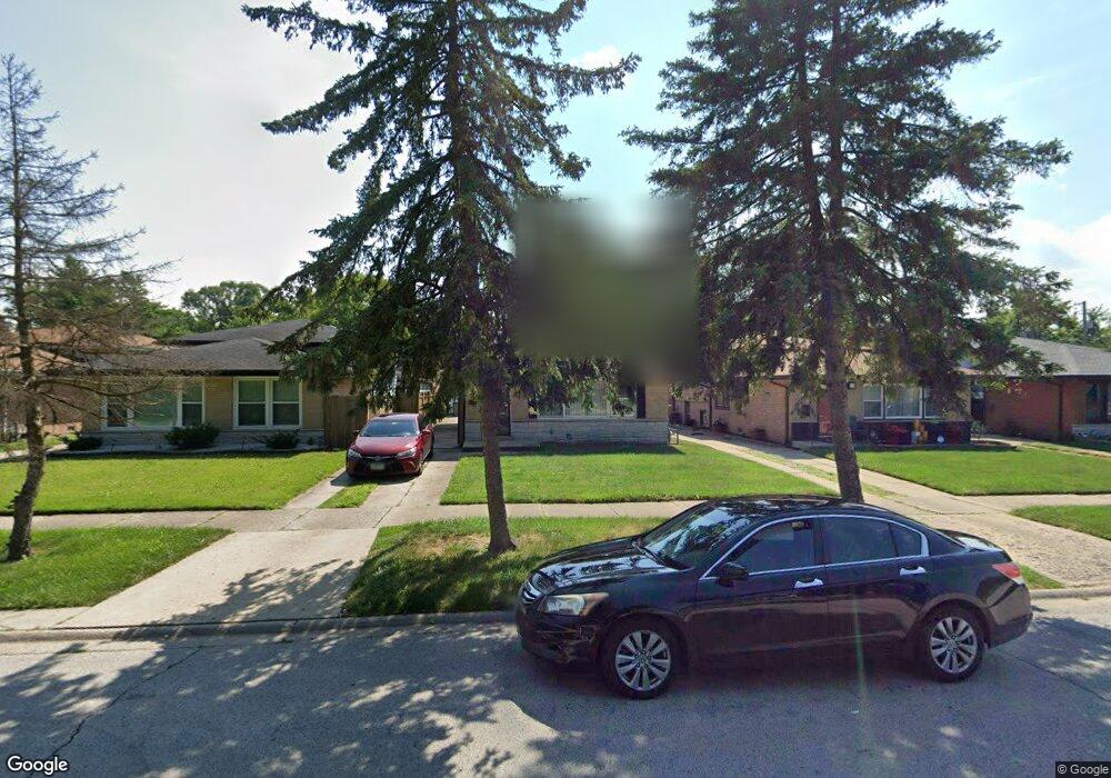
14456 Shepard Dr Dolton, IL 60419
Estimated Value: $159,000 - $196,000
3
Beds
1
Bath
1,141
Sq Ft
$157/Sq Ft
Est. Value
About This Home
This home is located at 14456 Shepard Dr, Dolton, IL 60419 and is currently estimated at $179,102, approximately $156 per square foot. 14456 Shepard Dr is a home located in Cook County with nearby schools including Berger-Vandenberg Elementary School, Creative Communications Academy, and School Of Fine Arts Academy.
Ownership History
Date
Name
Owned For
Owner Type
Purchase Details
Closed on
Oct 8, 2001
Sold by
Cook Gary R and Cook Margie
Bought by
Boykin Penceil
Current Estimated Value
Home Financials for this Owner
Home Financials are based on the most recent Mortgage that was taken out on this home.
Original Mortgage
$109,026
Outstanding Balance
$41,343
Interest Rate
6.92%
Mortgage Type
FHA
Estimated Equity
$137,759
Create a Home Valuation Report for This Property
The Home Valuation Report is an in-depth analysis detailing your home's value as well as a comparison with similar homes in the area
Home Values in the Area
Average Home Value in this Area
Purchase History
| Date | Buyer | Sale Price | Title Company |
|---|---|---|---|
| Boykin Penceil | $111,000 | -- |
Source: Public Records
Mortgage History
| Date | Status | Borrower | Loan Amount |
|---|---|---|---|
| Open | Boykin Penceil | $109,026 |
Source: Public Records
Tax History
| Year | Tax Paid | Tax Assessment Tax Assessment Total Assessment is a certain percentage of the fair market value that is determined by local assessors to be the total taxable value of land and additions on the property. | Land | Improvement |
|---|---|---|---|---|
| 2025 | $3,968 | $13,000 | $1,989 | $11,011 |
| 2024 | $3,968 | $13,000 | $1,989 | $11,011 |
| 2023 | $1,380 | $13,000 | $1,989 | $11,011 |
| 2022 | $1,380 | $11,289 | $1,755 | $9,534 |
| 2021 | $1,278 | $11,288 | $1,755 | $9,533 |
| 2020 | $1,112 | $11,288 | $1,755 | $9,533 |
| 2019 | $894 | $8,084 | $1,638 | $6,446 |
| 2018 | $881 | $8,084 | $1,638 | $6,446 |
| 2017 | $916 | $8,084 | $1,638 | $6,446 |
| 2016 | $2,803 | $9,115 | $1,521 | $7,594 |
| 2015 | $3,997 | $9,115 | $1,521 | $7,594 |
| 2014 | $3,981 | $9,115 | $1,521 | $7,594 |
| 2013 | $4,297 | $10,164 | $1,521 | $8,643 |
Source: Public Records
Map
Nearby Homes
- 14418 Drexel Ave
- 14341 Drexel Ave
- 14526 Cottage Grove Ave
- 14500 Van Buren St
- 14325 Ingleside Ave
- 14408 Lincoln Ave
- 14525 Dobson Ave
- 14631 Lincoln Ave
- 14647 Greenwood Rd Unit B403
- 14519 Sanderson Ave
- 14234 Ingleside Ave
- 1107 E 145th St
- 14315 Dobson Ave
- 14314 Minerva Ave
- 14208 Ingleside Ave
- 14407 Irving Ave
- 14200 Drexel Ave
- 14201 Maryland Ave
- 14234 Minerva Ave
- 14341 University Ave
- 14454 Shepard Dr
- 14460 Shepard Dr
- 14450 Shepard Dr
- 14462 Shepard Dr
- 14444 Shepard Dr
- 14487 Lincoln Ave
- 14485 Lincoln Ave
- 14491 Lincoln Ave
- 14481 Lincoln Ave
- 14495 Lincoln Ave
- 14479 Lincoln Ave
- 14500 Shepard Dr
- 14500 Shepard Dr
- 14430 Drexel Ave
- 14438 Shepard Dr
- 14475 Lincoln Ave
- 14441 Drexel Ave
- 14501 Lincoln Ave
- 14471 Lincoln Ave
- 14443 Drexel Ave
Your Personal Tour Guide
Ask me questions while you tour the home.