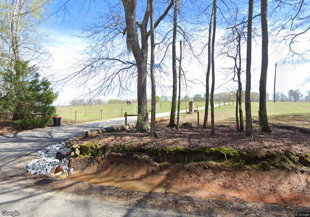
1446 Caldwell Bridge Rd Concord, GA 30206
Estimated Value: $521,000 - $735,000
3
Beds
2
Baths
1,736
Sq Ft
$374/Sq Ft
Est. Value
About This Home
This home is located at 1446 Caldwell Bridge Rd, Concord, GA 30206 and is currently estimated at $648,714, approximately $373 per square foot. 1446 Caldwell Bridge Rd is a home located in Pike County with nearby schools including Pike County Primary School, Pike County Elementary School, and Pike County Middle School.
Ownership History
Date
Name
Owned For
Owner Type
Purchase Details
Closed on
Aug 30, 2021
Sold by
Delong Scott
Bought by
Grubbs Paul Michael
Current Estimated Value
Purchase Details
Closed on
Sep 11, 2003
Sold by
Cook Taylor
Bought by
Delong Scott and Delong Susie
Create a Home Valuation Report for This Property
The Home Valuation Report is an in-depth analysis detailing your home's value as well as a comparison with similar homes in the area
Home Values in the Area
Average Home Value in this Area
Purchase History
| Date | Buyer | Sale Price | Title Company |
|---|---|---|---|
| Grubbs Paul Michael | $600,000 | -- | |
| Delong Scott | $267,300 | -- |
Source: Public Records
Tax History Compared to Growth
Tax History
| Year | Tax Paid | Tax Assessment Tax Assessment Total Assessment is a certain percentage of the fair market value that is determined by local assessors to be the total taxable value of land and additions on the property. | Land | Improvement |
|---|---|---|---|---|
| 2024 | $3,153 | $224,441 | $114,717 | $109,724 |
| 2023 | $3,680 | $224,441 | $114,717 | $109,724 |
| 2022 | $2,777 | $168,264 | $88,244 | $80,020 |
| 2021 | $2,820 | $195,062 | $117,526 | $77,536 |
| 2020 | $2,841 | $195,062 | $117,526 | $77,536 |
| 2019 | $4,676 | $137,323 | $63,528 | $73,795 |
| 2018 | $4,680 | $137,323 | $63,528 | $73,795 |
| 2017 | $2,903 | $137,323 | $63,528 | $73,795 |
| 2016 | $2,682 | $137,323 | $63,528 | $73,795 |
| 2015 | $2,542 | $137,323 | $63,528 | $73,795 |
| 2014 | $2,568 | $137,323 | $63,528 | $73,795 |
| 2013 | -- | $133,375 | $63,527 | $69,848 |
Source: Public Records
Map
Nearby Homes
- 184 Flint Farms Dr
- 243 Flint Farms Dr
- 126 Flint Farms Dr
- LOT 12 Flint Farms Dr
- LOT 11 Flint Farms Dr
- TRACT 5 Bates Rd (13 98acs)
- 3.39 ACRES Caldwell Bridge Rd
- 764 Bates Rd (228 96acs)
- TRACT 6 & 7 Bates Rd (47 4acs)
- TRACT 2 Bates Rd (56 99acs)
- L-8 Strickland Rd
- TRACT 1 Bates Rd (14 05acs)
- 1579 Bates Rd
- 2246 Concord Rd
- 10000 Highway 18 W
- 0 W Fossett Rd Unit 10629253
- 0 West Rd Unit 10536330
- 0 West Rd Unit 10541322
- 481 Turner Rd
- 1337 Green St
- 21.016 ACRES W Fossett Rd
- 5 ACRES Calgary Rd
- 6.210 ACRES Calgary Rd
- L-12 W Curtis Rd
- 0 Irish Hill Ct Unit 21 8439707
- LOT 21 Irish Hill Ct
- L21 Bottoms Rd
- Lot 4 Bottoms Rd Unit 4
- Lot 1 Bottoms Rd Unit 1
- 0 Rose Ct Unit 49 8310954
- 493 Ac Ga Hwy 18
- 0 Rose Ct Unit LOT 48 2777716
- 0 Rose Ct Unit LOT 48 7032039
- 0 Rose Ct Unit LOT 44 2777697
- 0 Rose Ct Unit LOT 47 7032035
- 0 Rose Ct Unit LOT 47 2777705
- 0 Rose Ct Unit LOT 44 7032023
- 0 Kings Bridge Rd Unit LOT 6 7217242
- 0 Rose Ct Unit 46 7553187
- 0 Rose Ct Unit 45 7553185