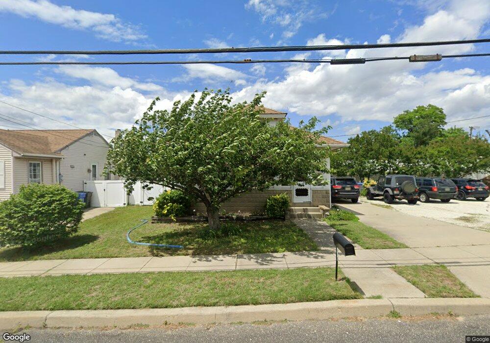
1446 Crown Point Rd West Deptford, NJ 08093
West Deptford Township NeighborhoodEstimated Value: $250,749 - $336,000
--
Bed
--
Bath
1,714
Sq Ft
$174/Sq Ft
Est. Value
About This Home
This home is located at 1446 Crown Point Rd, West Deptford, NJ 08093 and is currently estimated at $297,437, approximately $173 per square foot. 1446 Crown Point Rd is a home located in Gloucester County with nearby schools including Oakview Elementary School, Red Bank Elementary School, and Green-Fields Elementary School.
Ownership History
Date
Name
Owned For
Owner Type
Purchase Details
Closed on
Jul 14, 2006
Sold by
Morrell Maria
Bought by
Morrell Maria and Henry Albert
Current Estimated Value
Home Financials for this Owner
Home Financials are based on the most recent Mortgage that was taken out on this home.
Original Mortgage
$140,000
Outstanding Balance
$83,206
Interest Rate
6.67%
Mortgage Type
Purchase Money Mortgage
Estimated Equity
$214,231
Purchase Details
Closed on
Mar 16, 1998
Sold by
Henry Albert
Bought by
Morrell Maria and Henry Maria
Purchase Details
Closed on
Sep 30, 1993
Sold by
Villet Maria J
Bought by
Henry Albert and Henry Maria
Home Financials for this Owner
Home Financials are based on the most recent Mortgage that was taken out on this home.
Original Mortgage
$79,000
Interest Rate
6.83%
Mortgage Type
FHA
Create a Home Valuation Report for This Property
The Home Valuation Report is an in-depth analysis detailing your home's value as well as a comparison with similar homes in the area
Home Values in the Area
Average Home Value in this Area
Purchase History
| Date | Buyer | Sale Price | Title Company |
|---|---|---|---|
| Morrell Maria | -- | -- | |
| Morrell Maria | -- | -- | |
| Henry Albert | $78,900 | -- |
Source: Public Records
Mortgage History
| Date | Status | Borrower | Loan Amount |
|---|---|---|---|
| Open | Morrell Maria | $140,000 | |
| Previous Owner | Henry Albert | $79,000 |
Source: Public Records
Tax History Compared to Growth
Tax History
| Year | Tax Paid | Tax Assessment Tax Assessment Total Assessment is a certain percentage of the fair market value that is determined by local assessors to be the total taxable value of land and additions on the property. | Land | Improvement |
|---|---|---|---|---|
| 2025 | $5,308 | $152,000 | $35,700 | $116,300 |
| 2024 | $5,239 | $152,000 | $35,700 | $116,300 |
| 2023 | $5,239 | $152,000 | $35,700 | $116,300 |
| 2022 | $5,215 | $152,000 | $35,700 | $116,300 |
| 2021 | $5,197 | $152,000 | $35,700 | $116,300 |
| 2020 | $5,185 | $152,000 | $35,700 | $116,300 |
| 2019 | $5,040 | $152,000 | $35,700 | $116,300 |
| 2018 | $4,904 | $152,000 | $35,700 | $116,300 |
| 2017 | $4,790 | $152,000 | $35,700 | $116,300 |
| 2016 | $4,656 | $152,000 | $35,700 | $116,300 |
| 2015 | $4,575 | $156,800 | $40,500 | $116,300 |
| 2014 | $4,348 | $156,800 | $40,500 | $116,300 |
Source: Public Records
Map
Nearby Homes
- 1009 Hessian Ave
- 1372 Riley Ave
- 1346 Verga Ave
- 1448 Victory Ave
- 1134 Brewer Ave
- 1156 Hessian Ave
- 1174 Harker Ave
- 541 Elberne Ave
- 210 Lawnton Ave
- 1676 Miller Ave
- 193 Dubois Ave
- 120 Progress Ave
- 112 Progress Ave
- 121 Crescent Ave
- 131 Watkins Ave
- 1029 Tatum St
- 66 Hessian Ave
- 2 Victorian Way
- 3 Victorian Way
- 7 Victorian Way
- 1450 Crown Point Rd
- 1454 Crown Point Rd
- 1458 Crown Point Rd
- 1411 Woodlane Dr
- 35 Birchly Ct
- 33 Birchly Ct
- 37 Birchly Ct
- 1470 Crown Point Rd
- 1465 Crown Point Rd
- 1476 Crown Point Rd
- 31 Birchly Ct
- 1424 Woodlane Dr
- 1482 Crown Point Rd
- 29 Birchly Ct
- 1409 Woodlane Dr
- 1422 Woodlane Dr
- 27 Birchly Ct
- 1406 Crown Point Rd
- 1485 Crown Point Rd
- 17 Oakmont Ct