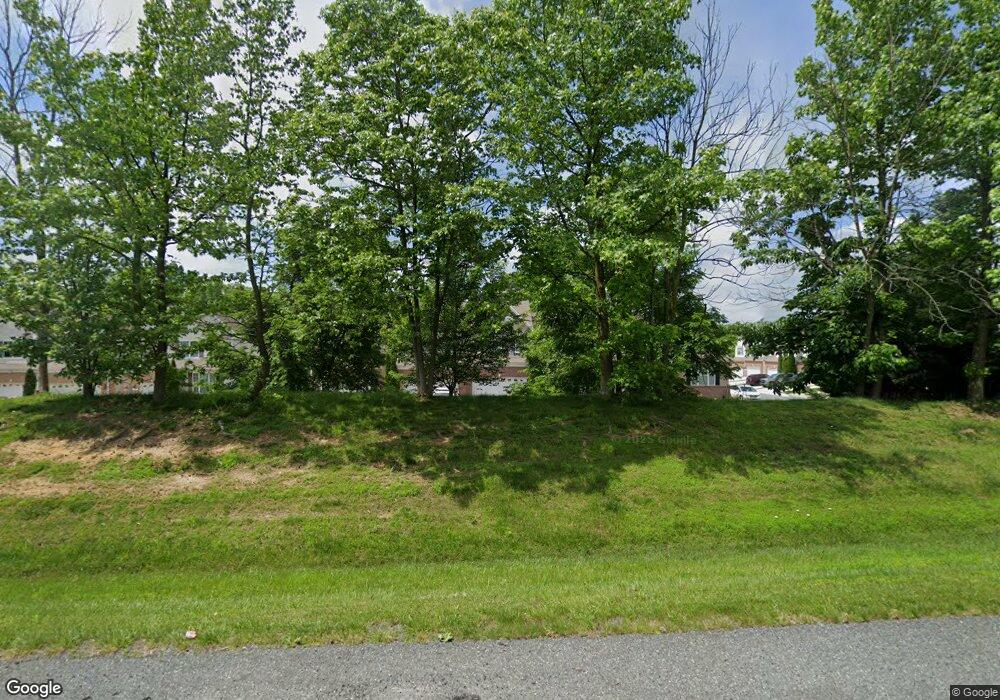
1446 Wellspring Dr Aberdeen, MD 21001
Estimated Value: $359,893 - $403,000
Studio
2
Baths
1,924
Sq Ft
$199/Sq Ft
Est. Value
About This Home
This home is located at 1446 Wellspring Dr, Aberdeen, MD 21001 and is currently estimated at $382,973, approximately $199 per square foot. 1446 Wellspring Dr is a home located in Harford County with nearby schools including G. Lisby Elementary At Hillsdale, Aberdeen Middle School, and Aberdeen High School.
Ownership History
Date
Name
Owned For
Owner Type
Purchase Details
Closed on
Mar 26, 2013
Sold by
The Ryland Group Inc
Bought by
Powell Christpher J
Current Estimated Value
Home Financials for this Owner
Home Financials are based on the most recent Mortgage that was taken out on this home.
Original Mortgage
$293,141
Outstanding Balance
$205,978
Interest Rate
3.37%
Mortgage Type
FHA
Estimated Equity
$176,995
Purchase Details
Closed on
Nov 19, 2012
Sold by
Stepney Road Holding Llc
Bought by
The Ryland Group Inc
Create a Home Valuation Report for This Property
The Home Valuation Report is an in-depth analysis detailing your home's value as well as a comparison with similar homes in the area
Home Values in the Area
Average Home Value in this Area
Purchase History
| Date | Buyer | Sale Price | Title Company |
|---|---|---|---|
| Powell Christpher J | $298,567 | First American Title Ins Co | |
| The Ryland Group Inc | $405,000 | Residential Title & Escrow C |
Source: Public Records
Mortgage History
| Date | Status | Borrower | Loan Amount |
|---|---|---|---|
| Open | Powell Christpher J | $293,141 |
Source: Public Records
Tax History Compared to Growth
Tax History
| Year | Tax Paid | Tax Assessment Tax Assessment Total Assessment is a certain percentage of the fair market value that is determined by local assessors to be the total taxable value of land and additions on the property. | Land | Improvement |
|---|---|---|---|---|
| 2025 | $3,369 | $339,667 | $0 | $0 |
| 2024 | $3,369 | $316,633 | $0 | $0 |
| 2023 | $3,200 | $293,600 | $75,000 | $218,600 |
| 2022 | $3,138 | $287,933 | $0 | $0 |
| 2021 | $3,192 | $282,267 | $0 | $0 |
| 2020 | $3,192 | $276,600 | $75,000 | $201,600 |
| 2019 | $3,192 | $276,600 | $75,000 | $201,600 |
| 2018 | $3,163 | $276,600 | $75,000 | $201,600 |
| 2017 | $3,179 | $278,000 | $0 | $0 |
| 2016 | $140 | $277,000 | $0 | $0 |
| 2015 | $186 | $276,000 | $0 | $0 |
| 2014 | $186 | $275,000 | $0 | $0 |
Source: Public Records
Map
Nearby Homes
- 403 Dryden Rd
- 1225 Fenwick Rd
- 1226 Gaston Rd
- 633 Bentgrass Dr
- 637 Bentgrass Dr
- 5072 Bristle Cone Cir
- 0 Old Stepney Rd
- 4805 Mantlewood Way Unit 204
- lot 35 1125 Old Philadelphia Rd
- 742 Bur Oak Ct Unit 79
- 703 Bur Oak Ct Unit 123
- 705 Bur Oak Ct Unit 122
- 701 Bur Oak Ct Unit 124
- 720 Bur Oak Ct Unit 76
- 708 Wineberry Way
- 509 Twinleaf Dr
- 0 Perryman Rd Unit MDHR2027610
- 617 English Ivy Way
- Nassau Cove Plan at Grace Woods 55+ - Villas
- 1338 Perryman Rd
- 1444 Wellspring Dr
- 1448 Wellspring Dr
- 1450 Wellspring Dr
- 1442 Wellspring Dr
- 1452 Wellspring Dr
- 518 Plume Ct
- 1454 Wellspring Dr
- 520 Plume Ct
- 516 Plume Ct
- 514 Plume Ct
- 522 Plume Ct
- 524 Plume Ct
- 1456 Wellspring Dr
- 1458 Wellspring Dr
- 526 Plume Ct
- 501 Plume Ct
- 503 Plume Ct
- 505 Plume Ct
- 528 Plume Ct
- 1460 Wellspring Dr
