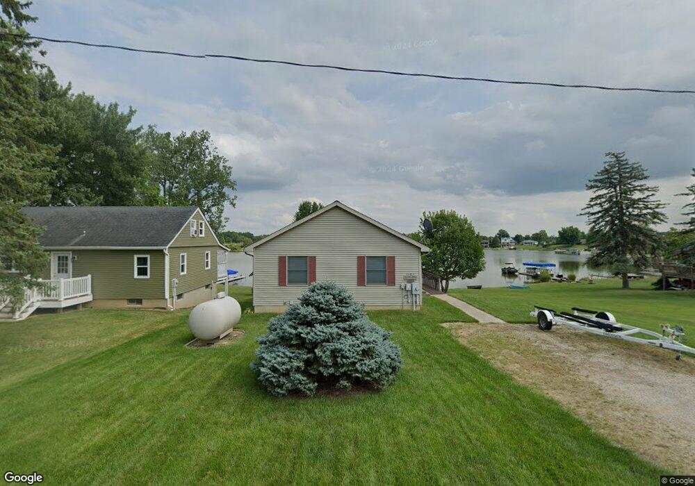
14463 W Diane Dr Camden, MI 49232
Estimated Value: $322,000 - $353,000
2
Beds
2
Baths
988
Sq Ft
$339/Sq Ft
Est. Value
About This Home
This home is located at 14463 W Diane Dr, Camden, MI 49232 and is currently estimated at $334,830, approximately $338 per square foot. 14463 W Diane Dr is a home with nearby schools including Camden-Frontier K-8 School and Camden-Frontier High School.
Ownership History
Date
Name
Owned For
Owner Type
Purchase Details
Closed on
Sep 19, 2012
Sold by
Klopfenstein Roy and Klopfenstein Deborah
Bought by
Klopfenstein Deborah C and Klopfenstein Roy W
Current Estimated Value
Purchase Details
Closed on
Nov 2, 1996
Sold by
Burleson Benny and Burleson Catherine E
Bought by
Klopfenstein Roy and Klopfenstein Deborah
Purchase Details
Closed on
Jan 29, 1994
Sold by
Gunter Gary A and Gunter Suzanne
Bought by
Burleson Benny and Burleson Catherine E
Purchase Details
Closed on
Sep 4, 1992
Sold by
Belding Jerry L
Bought by
Gunter Gary A and Gunter Suzanne
Create a Home Valuation Report for This Property
The Home Valuation Report is an in-depth analysis detailing your home's value as well as a comparison with similar homes in the area
Home Values in the Area
Average Home Value in this Area
Purchase History
| Date | Buyer | Sale Price | Title Company |
|---|---|---|---|
| Klopfenstein Deborah C | -- | None Available | |
| Klopfenstein Roy | $31,000 | -- | |
| Burleson Benny | $17,800 | -- | |
| Gunter Gary A | $16,000 | -- |
Source: Public Records
Tax History Compared to Growth
Tax History
| Year | Tax Paid | Tax Assessment Tax Assessment Total Assessment is a certain percentage of the fair market value that is determined by local assessors to be the total taxable value of land and additions on the property. | Land | Improvement |
|---|---|---|---|---|
| 2025 | $3,296 | $131,900 | $0 | $0 |
| 2024 | $752 | $123,900 | $0 | $0 |
| 2023 | $716 | $105,000 | $0 | $0 |
| 2022 | $3,105 | $89,100 | $0 | $0 |
| 2021 | $3,028 | $81,200 | $0 | $0 |
| 2020 | $3,032 | $79,800 | $0 | $0 |
| 2019 | $2,910 | $75,900 | $0 | $0 |
| 2018 | $2,820 | $73,800 | $0 | $0 |
| 2017 | $2,705 | $73,580 | $0 | $0 |
| 2016 | $2,684 | $72,160 | $0 | $0 |
| 2015 | $603 | $72,160 | $0 | $0 |
| 2013 | $584 | $68,060 | $0 | $0 |
| 2012 | $571 | $65,520 | $0 | $0 |
Source: Public Records
Map
Nearby Homes
- 14600 W Diane Dr
- 14401 Woodbridge Rd
- 14934 Heather Ct
- 13857 E Diane Dr
- 13791 E Diane Dr
- 13551 Hillsdale Rd
- 623-624 Yuma Trail
- 362 Wasco Trail
- 199 Shoshone Trail
- 988-989 Seneca Dr
- 207 Modoc Trail
- 155 Navajo Trail
- 213 Navajo Trail
- 0 W Territorial Rd Unit 25043960
- 0 Seneca Dr
- 600 Seneca Dr
- 234 Seneca Dr
- 131 Choctaw Trail
- 15791 Rice Rd
- 145 Lumbee Ln
- 14455 W Diane Dr
- 14447 W Diane Dr
- 14479 W Diane Dr
- 14431 W Diane Dr
- 14439 W Diane Dr
- 14478 W Diane Dr
- 14487 W Diane Dr
- 14219 W Diane Dr
- 14399 W Diane Dr
- 0 W Diane Dr
- 14315 W Diane Dr
- 14380 Horn Dr
- 14460 W Diane Dr
- 14423 W Diane Dr
- 14415 W Diane Dr
- 14634 Horn Dr
- 14396 Horn Dr
- 14495 W Diane Dr
- 14503 W Diane Dr
- 14392 Horn Dr