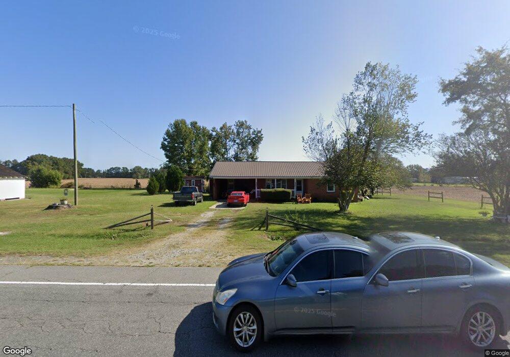
14470 Hobbton Hwy Newton Grove, NC 28366
Estimated Value: $110,000 - $224,000
2
Beds
1
Bath
1,265
Sq Ft
$128/Sq Ft
Est. Value
About This Home
This home is located at 14470 Hobbton Hwy, Newton Grove, NC 28366 and is currently estimated at $161,832, approximately $127 per square foot. 14470 Hobbton Hwy is a home with nearby schools including Hobbton Elementary School, Hobbton Middle School, and Hobbton High School.
Ownership History
Date
Name
Owned For
Owner Type
Purchase Details
Closed on
Jun 12, 2018
Sold by
Vanwilliford Herman and Willifored Wendy
Bought by
Weaver Carl and Weaver Kimberley
Current Estimated Value
Home Financials for this Owner
Home Financials are based on the most recent Mortgage that was taken out on this home.
Original Mortgage
$58,913
Outstanding Balance
$51,498
Interest Rate
4.99%
Mortgage Type
FHA
Estimated Equity
$110,334
Purchase Details
Closed on
Feb 25, 1991
Bought by
Vanvanvanvanwilliford Herman Van
Create a Home Valuation Report for This Property
The Home Valuation Report is an in-depth analysis detailing your home's value as well as a comparison with similar homes in the area
Home Values in the Area
Average Home Value in this Area
Purchase History
| Date | Buyer | Sale Price | Title Company |
|---|---|---|---|
| Weaver Carl | $60,000 | -- | |
| Vanvanvanvanwilliford Herman Van | $21,500 | -- |
Source: Public Records
Mortgage History
| Date | Status | Borrower | Loan Amount |
|---|---|---|---|
| Open | Weaver Carl | $58,913 |
Source: Public Records
Tax History Compared to Growth
Tax History
| Year | Tax Paid | Tax Assessment Tax Assessment Total Assessment is a certain percentage of the fair market value that is determined by local assessors to be the total taxable value of land and additions on the property. | Land | Improvement |
|---|---|---|---|---|
| 2025 | $941 | $123,866 | $14,973 | $108,893 |
| 2024 | $848 | $123,866 | $14,973 | $108,893 |
| 2023 | $542 | $60,231 | $13,020 | $47,211 |
| 2022 | $542 | $60,231 | $13,020 | $47,211 |
| 2021 | $542 | $60,231 | $13,020 | $47,211 |
| 2020 | $542 | $60,231 | $13,020 | $47,211 |
| 2019 | $542 | $60,231 | $0 | $0 |
| 2018 | $482 | $53,521 | $0 | $0 |
| 2017 | $476 | $53,521 | $0 | $0 |
| 2016 | $479 | $53,521 | $0 | $0 |
| 2015 | $479 | $53,521 | $0 | $0 |
| 2014 | -- | $53,521 | $0 | $0 |
Source: Public Records
Map
Nearby Homes
- 13015 Hobbton Hwy
- 0 Hobbton Hwy Unit 100510708
- 520 Fayetteville St
- 0 Suttontown Rd Unit 100516331
- 0 Suttontown Rd
- 10455 U S 701 Hwy
- 762 Share Cake Rd
- 0 Main St
- 00 Trail End Ln
- 00 Trail End Ln Unit LotWP001
- 1676 Smithfield Hwy
- 410 E Barefoot Rd
- 3092 Harnett-Dunn Hwy
- 352 Old Crow Rd
- 770 Simmons Rd
- 10263 U S 701 Hwy
- 904 Langston Rd
- 1509 Sampson Acres Dr
- 573 Langston Rd
- 267 Ed Collins Ln
- 14514 Hobbton Hwy
- 852 Cedar Point Rd
- 933 Cedar Point Rd
- 4870 Rosin Hill Rd
- 14717 Hobbton Hwy
- 4830 Rosin Hill Rd
- 14190 Hobbton Hwy
- 4747 Rosin Hill Rd
- 14810 Hobbton Hwy
- 4720 Rosin Hill Rd
- 275 Usher Ln
- 4680 Rosin Hill Rd
- 67 Bluebird Ln
- 170 Maple Leaf Ln
- 150 Maple Leaf Ln
- 681 Usher Ln
- 567 Usher Ln Unit 11
- 110 Maple Leaf Ln
- 1323 Cedar Point Rd
- 4563 Rosin Hill Rd