Estimated Value: $184,633 - $212,000
3
Beds
2
Baths
1,325
Sq Ft
$146/Sq Ft
Est. Value
About This Home
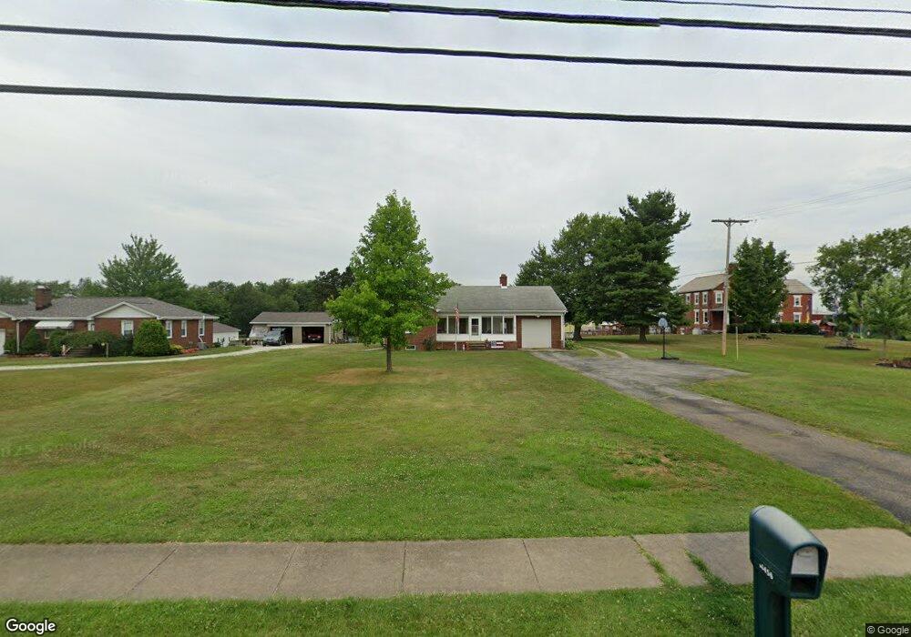
This home is located at 14470 Pricetown Rd, Salem, OH 44460 and is currently estimated at $193,408, approximately $145 per square foot. 14470 Pricetown Rd is a home located in Mahoning County with nearby schools including West Branch Middle School and West Branch High School.
Ownership History
Date
Name
Owned For
Owner Type
Purchase Details
Closed on
Oct 12, 2018
Sold by
Pearson Christopher M and Pearson Tanys M
Bought by
Pearson Christopher M and Pearson Tanya M
Current Estimated Value
Home Financials for this Owner
Home Financials are based on the most recent Mortgage that was taken out on this home.
Original Mortgage
$93,250
Outstanding Balance
$70,271
Interest Rate
4.7%
Mortgage Type
New Conventional
Estimated Equity
$123,138
Purchase Details
Closed on
Aug 19, 2005
Sold by
Pearson Yolanda M
Bought by
Pearson Christopher M
Purchase Details
Closed on
Jan 29, 2003
Sold by
Ailes George A and Ailes D L
Bought by
Pearson Christopher M and Pearson Yolanda M
Home Financials for this Owner
Home Financials are based on the most recent Mortgage that was taken out on this home.
Original Mortgage
$65,330
Interest Rate
5.71%
Mortgage Type
Purchase Money Mortgage
Purchase Details
Closed on
Jan 14, 1971
Bought by
Ailes George A and D L
Create a Home Valuation Report for This Property
The Home Valuation Report is an in-depth analysis detailing your home's value as well as a comparison with similar homes in the area
Home Values in the Area
Average Home Value in this Area
Purchase History
| Date | Buyer | Sale Price | Title Company |
|---|---|---|---|
| Pearson Christopher M | -- | None Available | |
| Pearson Christopher M | -- | -- | |
| Pearson Christopher M | $98,000 | Union Title Company | |
| Ailes George A | -- | -- |
Source: Public Records
Mortgage History
| Date | Status | Borrower | Loan Amount |
|---|---|---|---|
| Open | Pearson Christopher M | $93,250 | |
| Previous Owner | Pearson Christopher M | $65,330 |
Source: Public Records
Tax History Compared to Growth
Tax History
| Year | Tax Paid | Tax Assessment Tax Assessment Total Assessment is a certain percentage of the fair market value that is determined by local assessors to be the total taxable value of land and additions on the property. | Land | Improvement |
|---|---|---|---|---|
| 2024 | $2,166 | $55,920 | $4,730 | $51,190 |
| 2023 | $2,060 | $55,920 | $4,730 | $51,190 |
| 2022 | $1,555 | $35,610 | $4,420 | $31,190 |
| 2021 | $1,511 | $35,610 | $4,420 | $31,190 |
| 2020 | $1,516 | $35,610 | $4,420 | $31,190 |
| 2019 | $1,404 | $30,620 | $4,420 | $26,200 |
| 2018 | $1,397 | $30,620 | $4,420 | $26,200 |
| 2017 | $1,379 | $30,620 | $4,420 | $26,200 |
| 2016 | $1,383 | $30,820 | $4,100 | $26,720 |
| 2015 | $1,345 | $30,820 | $4,100 | $26,720 |
| 2014 | $1,351 | $30,820 | $4,100 | $26,720 |
| 2013 | $1,346 | $30,820 | $4,100 | $26,720 |
Source: Public Records
Map
Nearby Homes
- 14930 S Pricetown Rd
- 14831 Smith Goshen Rd
- 14965 Seacrist Rd
- 14980 Salem Alliance Rd
- 29979 Salem-Alliance Rd
- 30051 Sr 62
- 28339 Misty Morning Ln
- 17394 State Route 62
- 27443 State Route 62
- 17880 State Route 62
- 35 Bayview Dr
- 18061 Derr Ave
- 1497 Lake Front Dr
- 1511 Lake Front Dr
- 26223 Wildwood Dr
- 14609 S Duck Creek Rd
- 29655 Buck Rd
- 15772 Cleveland - East Liverpool Rd
- 18 Boxwood Dr
- 27696 Buck Rd
- 14492 State Route 534
- 14526 State Route 534
- 14473 Danbury Dr
- 14615 State Route 534
- 14561 S Pricetown Rd
- 14564 S Pricetown Rd
- 14638 S Pricetown Rd
- 14638 S Pricetown Rd
- 14638 State Route 534
- 15882 Danbury Dr
- 15915 Danbury Dr
- 14690 S Pricetown Rd
- 14656 S Pricetown Rd
- 14656 S Pricetown Rd
- 14645 S Pricetown Rd
- 14674 S Pricetown Rd
- 14250 S Pricetown Rd
- 14250 State Route 534
- 14673 S Pricetown Rd
- 14255 S Pricetown Rd