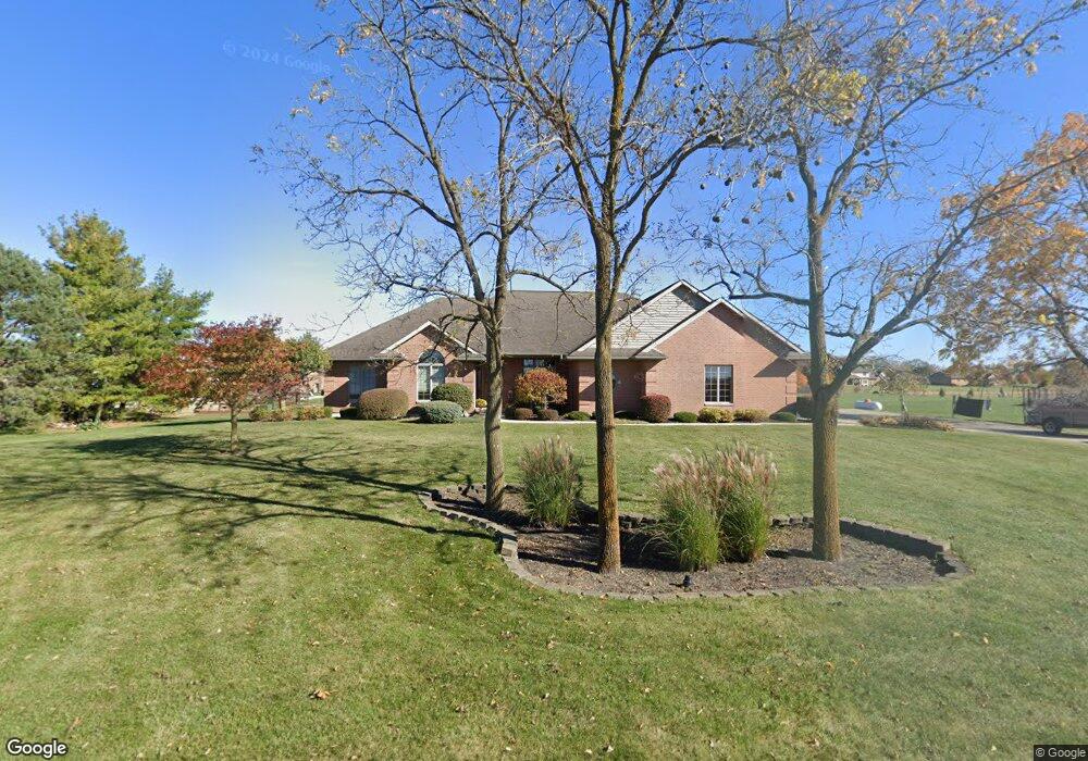
14471 Mendenhall Rd Yorkshire, OH 45388
Estimated Value: $276,000 - $448,406
3
Beds
3
Baths
2,157
Sq Ft
$175/Sq Ft
Est. Value
About This Home
This home is located at 14471 Mendenhall Rd, Yorkshire, OH 45388 and is currently estimated at $378,352, approximately $175 per square foot. 14471 Mendenhall Rd is a home located in Darke County with nearby schools including Marion Local Elementary School and Marion Local High School.
Ownership History
Date
Name
Owned For
Owner Type
Purchase Details
Closed on
Sep 2, 2005
Sold by
Meyer Carol J
Bought by
Meyer Kenneth J and Meyer Carol J
Current Estimated Value
Create a Home Valuation Report for This Property
The Home Valuation Report is an in-depth analysis detailing your home's value as well as a comparison with similar homes in the area
Home Values in the Area
Average Home Value in this Area
Purchase History
| Date | Buyer | Sale Price | Title Company |
|---|---|---|---|
| Meyer Kenneth J | -- | -- |
Source: Public Records
Tax History Compared to Growth
Tax History
| Year | Tax Paid | Tax Assessment Tax Assessment Total Assessment is a certain percentage of the fair market value that is determined by local assessors to be the total taxable value of land and additions on the property. | Land | Improvement |
|---|---|---|---|---|
| 2024 | $3,806 | $114,160 | $7,430 | $106,730 |
| 2023 | $3,832 | $114,160 | $7,430 | $106,730 |
| 2022 | $3,270 | $96,220 | $6,230 | $89,990 |
| 2021 | $3,386 | $97,610 | $7,620 | $89,990 |
| 2020 | $3,396 | $97,610 | $7,620 | $89,990 |
| 2019 | $2,752 | $79,610 | $7,620 | $71,990 |
| 2018 | $2,869 | $79,610 | $7,620 | $71,990 |
| 2017 | $2,713 | $79,610 | $7,620 | $71,990 |
| 2016 | $2,675 | $76,110 | $7,260 | $68,850 |
| 2015 | $2,675 | $76,110 | $7,260 | $68,850 |
| 2014 | $2,678 | $76,110 | $7,260 | $68,850 |
| 2013 | $2,716 | $69,570 | $6,980 | $62,590 |
Source: Public Records
Map
Nearby Homes
- 159 Mendenhall Rd
- 158 Mendenhall Rd
- 157 Mendenhall Rd
- 136 Liberty Dr
- 139 Liberty Dr
- 155 Liberty Dr
- 135 Veterans Dr
- 140 Liberty Dr
- 156 Veterans Dr
- 137 Liberty Dr
- 143 Liberty Dr
- 138 Liberty Dr
- 153 Liberty Dr
- 145 Liberty Dr
- 144 Liberty Dr
- 154 Liberty Dr
- 151 Brewer Dr
- 141 Liberty Dr
- 149 Brewer Dr
- 142 Liberty Dr
- 8271 State Route 705
- 14447 Mendenhall Rd
- 14525 Mendenhall Rd
- 8293 State Route 705
- 370 Bohman Dr
- 385 Bohman Dr
- 14535 Mendenhall Rd
- 8311 State Route 705
- 14541 Mendenhall Rd
- 14541 Mendenhall Rd
- 365 Bohman Dr
- 350 Bohman Dr
- 14545 Mendenhall Rd
- 8335 State Route 705
- 128 Westwood Dr
- 345 Bohman Dr
- 8189 State Route 705
- 8343 State Route 705
- 330 Bohman Dr
- 127 Westwood Dr