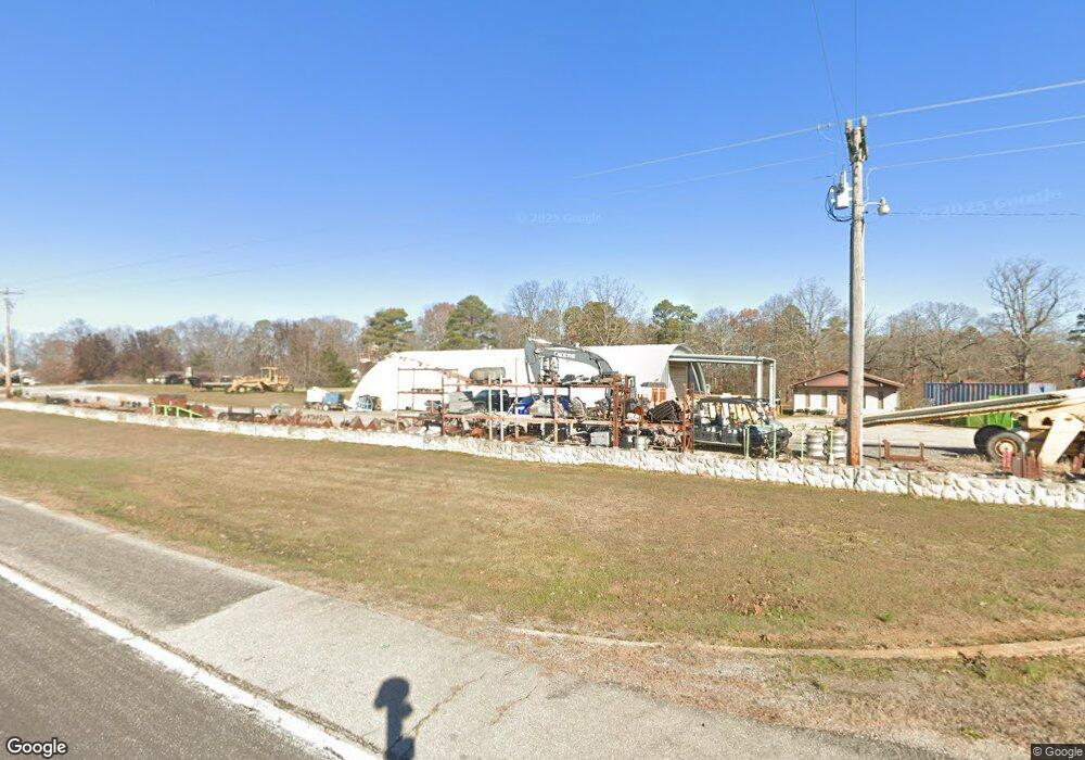
14475 Highway Pp Poplar Bluff, MO 63901
Estimated Value: $231,770 - $375,000
--
Bed
--
Bath
1,536
Sq Ft
$208/Sq Ft
Est. Value
About This Home
This home is located at 14475 Highway Pp, Poplar Bluff, MO 63901 and is currently estimated at $318,923, approximately $207 per square foot. 14475 Highway Pp is a home with nearby schools including East Carter County R-II Elementary School, East Carter County R-II Middle School, and East Carter County R-II High School.
Ownership History
Date
Name
Owned For
Owner Type
Purchase Details
Closed on
Jan 2, 2024
Sold by
Papayik Charles and Papayik Debra
Bought by
Lack Chad Allan and Lack Rhonda Renee
Current Estimated Value
Home Financials for this Owner
Home Financials are based on the most recent Mortgage that was taken out on this home.
Original Mortgage
$138,300
Outstanding Balance
$136,031
Interest Rate
7.29%
Mortgage Type
New Conventional
Estimated Equity
$182,892
Purchase Details
Closed on
Nov 20, 2023
Sold by
Kneir Dortha and Kneir Derek
Bought by
Papayik Debra and Papayik Charles
Home Financials for this Owner
Home Financials are based on the most recent Mortgage that was taken out on this home.
Original Mortgage
$138,300
Outstanding Balance
$136,031
Interest Rate
7.29%
Mortgage Type
New Conventional
Estimated Equity
$182,892
Create a Home Valuation Report for This Property
The Home Valuation Report is an in-depth analysis detailing your home's value as well as a comparison with similar homes in the area
Home Values in the Area
Average Home Value in this Area
Purchase History
| Date | Buyer | Sale Price | Title Company |
|---|---|---|---|
| Lack Chad Allan | -- | Heritage Title | |
| Papayik Debra | -- | None Listed On Document |
Source: Public Records
Mortgage History
| Date | Status | Borrower | Loan Amount |
|---|---|---|---|
| Open | Lack Chad Allan | $138,300 |
Source: Public Records
Tax History Compared to Growth
Tax History
| Year | Tax Paid | Tax Assessment Tax Assessment Total Assessment is a certain percentage of the fair market value that is determined by local assessors to be the total taxable value of land and additions on the property. | Land | Improvement |
|---|---|---|---|---|
| 2024 | $14 | $37,910 | $0 | $0 |
| 2023 | $1,967 | $53,240 | $0 | $0 |
| 2022 | $1,934 | $52,390 | $0 | $0 |
| 2021 | $1,805 | $49,040 | $0 | $0 |
| 2020 | $1,799 | $48,390 | $0 | $0 |
| 2019 | $1,798 | $48,390 | $0 | $0 |
| 2018 | $1,798 | $48,400 | $0 | $0 |
| 2017 | -- | $48,400 | $0 | $0 |
| 2016 | -- | $48,400 | $0 | $0 |
| 2015 | -- | $48,400 | $0 | $0 |
| 2014 | -- | $45,520 | $0 | $0 |
| 2012 | $1,698 | $45,460 | $0 | $0 |
Source: Public Records
Map
Nearby Homes
- 125 Lanee Ln
- 109 Lanee Ln
- TBD County Road 426
- Tbd County Road 426
- 10576 Highway Pp
- 10374 Highway 60 W
- 9711 Highway Pp
- 139 County Road 425
- 0 9 6 Ac + - Off Tt Hwy Unit MIS25050752
- 607 County Road 423
- 14108 Lynn Rd
- 0 County Road 421
- 858 County Road 420
- 689 Hoot Owl Ln
- 00 Rabbit Run Rd
- 202 Mount Ash Ln
- 2751 Carter Route B
- 1790 Carter 327
- 0 Brownwood Trails #18 Unit MIS25061746
- 1 Woodland Heights W
- 122 Lanee Ln
- 14492 Highway Pp
- 14496 Highway Pp
- 14464 Highway Pp
- 14470 Highway Pp
- 665 County Road 414
- 14576 Highway Pp
- 14586 Highway Pp
- 749 County Road 414
- 60 S South Dr W
- 14595 Highway Pp
- 14438 Highway Pp
- 14602 Highway Pp
- 14601 Highway Pp
- 503 Chase Trail
- 501 Chase Trail
- 345 County Road 414
- 312 County Road 414
- 229 County Road 414
- 14654 Highway Pp