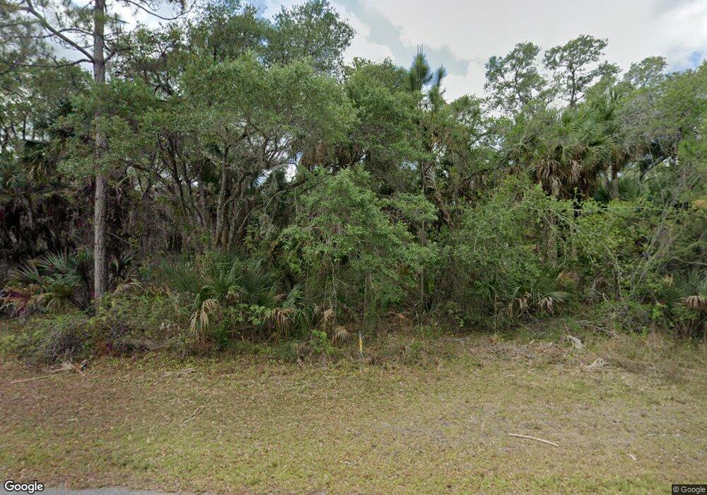
14483 Dupont Ave Port Charlotte, FL 33953
Northwest Port Charlotte NeighborhoodEstimated Value: $16,246 - $280,000
--
Bed
--
Bath
--
Sq Ft
10,019
Sq Ft Lot
About This Home
This home is located at 14483 Dupont Ave, Port Charlotte, FL 33953 and is currently estimated at $104,415. 14483 Dupont Ave is a home located in Charlotte County with nearby schools including Liberty Elementary School, Murdock Middle School, and Port Charlotte High School.
Ownership History
Date
Name
Owned For
Owner Type
Purchase Details
Closed on
Feb 28, 2017
Sold by
Selected Properties Ltd
Bought by
Bonino Myriam
Current Estimated Value
Purchase Details
Closed on
Jan 25, 2017
Sold by
Pat Nugent Realty And Auctioneers Llc
Bought by
Selected Properties Ltd
Purchase Details
Closed on
Feb 12, 2015
Sold by
Asset Management & Capital Co Inc
Bought by
Pat Nugent Realtors & Auctioneers Llc
Purchase Details
Closed on
Jan 5, 2008
Sold by
Davis Carolyn
Bought by
Asset Management & Capital Co Inc
Create a Home Valuation Report for This Property
The Home Valuation Report is an in-depth analysis detailing your home's value as well as a comparison with similar homes in the area
Home Values in the Area
Average Home Value in this Area
Purchase History
| Date | Buyer | Sale Price | Title Company |
|---|---|---|---|
| Bonino Myriam | $10,400 | None Available | |
| Selected Properties Ltd | $3,600 | Cape Coral Title Ins Agency | |
| Pat Nugent Realtors & Auctioneers Llc | -- | Paradise Title | |
| Asset Management & Capital Co Inc | -- | Attorney |
Source: Public Records
Tax History Compared to Growth
Tax History
| Year | Tax Paid | Tax Assessment Tax Assessment Total Assessment is a certain percentage of the fair market value that is determined by local assessors to be the total taxable value of land and additions on the property. | Land | Improvement |
|---|---|---|---|---|
| 2024 | $461 | $11,475 | $11,475 | -- |
| 2023 | $461 | $4,752 | $0 | $0 |
| 2022 | $445 | $11,900 | $11,900 | $0 |
| 2021 | $392 | $3,995 | $3,995 | $0 |
| 2020 | $377 | $3,570 | $3,570 | $0 |
| 2019 | $375 | $3,570 | $3,570 | $0 |
| 2018 | $365 | $3,315 | $3,315 | $0 |
| 2017 | $361 | $3,196 | $3,196 | $0 |
| 2016 | $357 | $3,060 | $0 | $0 |
| 2015 | $353 | $2,788 | $0 | $0 |
| 2014 | $252 | $2,768 | $0 | $0 |
Source: Public Records
Map
Nearby Homes
- 1365 Shake St
- 1276 Shake St
- 1239 Furman St
- 14324 Cannell Ln
- 15106 Cannell Ln
- 14299 Cannell Ln
- 1323 Cornelius Blvd
- 14452 Molla Ave
- 14506 Carousel Ln
- 14378 Carousel Ln
- 15130 Carousel Ln
- 15122 Carousel Ln
- 1355 Cornelius Blvd
- 2090 Cornelius Blvd
- 1097 Cornelius Blvd
- 1056 Cornelius Blvd
- 15074 Carousel Ln
- 430 Cornelius Blvd
- 1310 Birch Terrace
- 1347 Pocket Terrace
