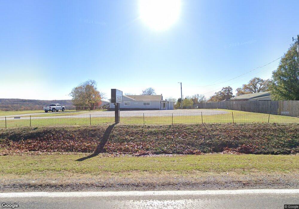
14484 S Highway 170 West Fork, AR 72774
Estimated Value: $176,000 - $446,000
3
Beds
2
Baths
2,746
Sq Ft
$113/Sq Ft
Est. Value
About This Home
This home is located at 14484 S Highway 170, West Fork, AR 72774 and is currently estimated at $310,040, approximately $112 per square foot. 14484 S Highway 170 is a home located in Washington County with nearby schools including West Fork Elementary School, West Fork Middle School, and West Fork High School.
Ownership History
Date
Name
Owned For
Owner Type
Purchase Details
Closed on
Apr 6, 2015
Bought by
Line April
Current Estimated Value
Purchase Details
Closed on
Dec 20, 2012
Sold by
Hsbs Mortgage Services Inc
Bought by
Line Albert
Purchase Details
Closed on
Apr 24, 2012
Sold by
Davis Jeffery and Davis Carrie Mae
Bought by
Hsbc Mortgage Services Inc
Purchase Details
Closed on
May 9, 1996
Bought by
Davis Carrie Mae and Davis Jeffery
Purchase Details
Closed on
Jun 23, 1987
Bought by
Pierce Opal
Purchase Details
Closed on
Jan 1, 1985
Bought by
Pierce Marcus and Pierce Opal
Create a Home Valuation Report for This Property
The Home Valuation Report is an in-depth analysis detailing your home's value as well as a comparison with similar homes in the area
Home Values in the Area
Average Home Value in this Area
Purchase History
| Date | Buyer | Sale Price | Title Company |
|---|---|---|---|
| Line April | -- | -- | |
| Line Albert | $48,000 | None Available | |
| Hsbc Mortgage Services Inc | -- | None Available | |
| Davis Carrie Mae | $55,000 | -- | |
| Pierce James Marvin | $55,000 | -- | |
| Davis Carrie Mae | -- | -- | |
| Davis Carrie Mae | -- | -- | |
| Pierce Opal | -- | -- | |
| Pierce Marcus | -- | -- |
Source: Public Records
Tax History Compared to Growth
Tax History
| Year | Tax Paid | Tax Assessment Tax Assessment Total Assessment is a certain percentage of the fair market value that is determined by local assessors to be the total taxable value of land and additions on the property. | Land | Improvement |
|---|---|---|---|---|
| 2025 | $691 | $35,340 | $9,220 | $26,120 |
| 2024 | $736 | $35,340 | $9,220 | $26,120 |
| 2023 | $761 | $35,340 | $9,220 | $26,120 |
| 2022 | $806 | $27,250 | $7,010 | $20,240 |
| 2021 | $758 | $27,250 | $7,010 | $20,240 |
| 2020 | $710 | $27,250 | $7,010 | $20,240 |
| 2019 | $662 | $20,520 | $6,010 | $14,510 |
| 2018 | $687 | $20,520 | $6,010 | $14,510 |
| 2017 | $606 | $20,520 | $6,010 | $14,510 |
| 2016 | $656 | $20,520 | $6,010 | $14,510 |
| 2015 | $606 | $20,520 | $6,010 | $14,510 |
| 2014 | $1,036 | $22,230 | $6,010 | $16,220 |
Source: Public Records
Map
Nearby Homes
- 14480 S Highway 170
- 14490 S Highway 170
- 14492 S Highway 170
- 14492 Arkansas 170
- 14459 S Highway 170
- 14459 Arkansas 170
- 14270 Arkansas 170
- 14501 S Highway 170
- 14508 S Highway 170
- 14696 Paulk Rd
- 14861 Paulk Rd
- 0 Paulk Rd
- 14873 Paulk Rd
- 14571 Paulk Rd
- 14815 Paulk Rd
- 14839 Paulk Rd
- 14843 Paulk Rd
- 14871 Paulk Rd
- 14631 Union Star Rd
- 14516 Arkansas 170