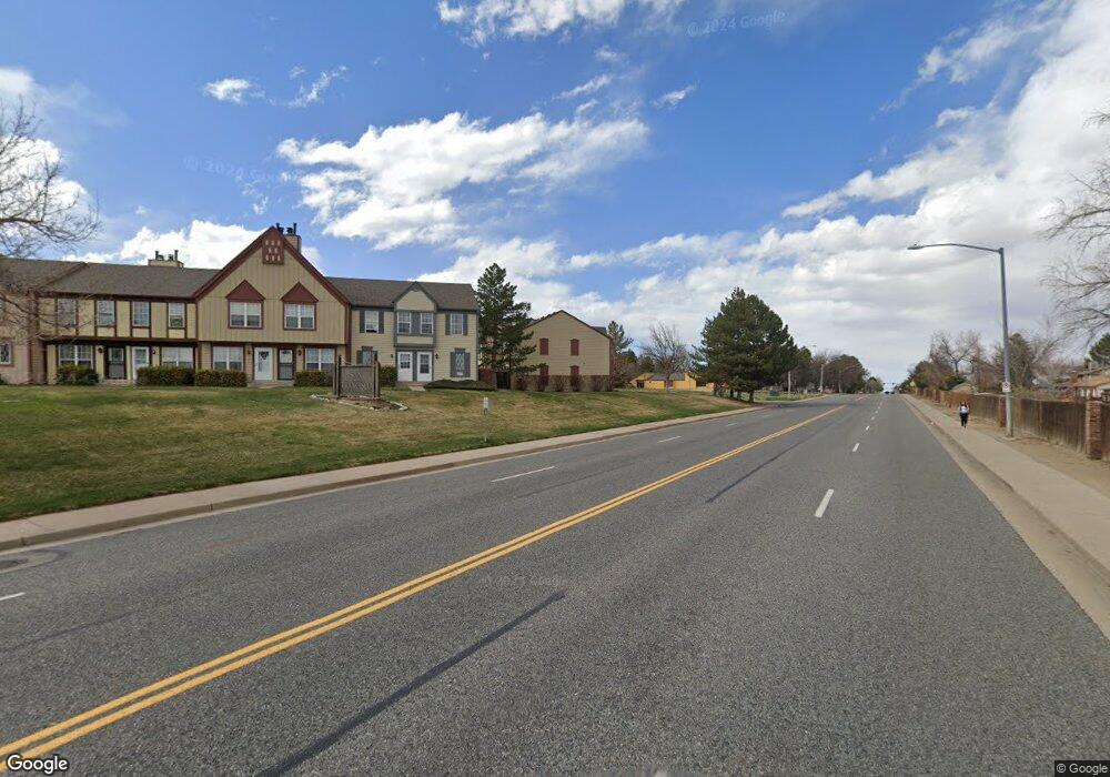
14486 E Hawaii Cir Unit A Aurora, CO 80012
Sable Ridge NeighborhoodEstimated Value: $265,000 - $298,000
2
Beds
2
Baths
1,008
Sq Ft
$274/Sq Ft
Est. Value
About This Home
This home is located at 14486 E Hawaii Cir Unit A, Aurora, CO 80012 and is currently estimated at $275,803, approximately $273 per square foot. 14486 E Hawaii Cir Unit A is a home located in Arapahoe County with nearby schools including Jewell Elementary School, Aurora Hills Middle School, and Gateway High School.
Ownership History
Date
Name
Owned For
Owner Type
Purchase Details
Closed on
Nov 30, 1988
Sold by
Secretary Of Housing & Urban Dev
Bought by
Henderson Karen M
Current Estimated Value
Purchase Details
Closed on
Jul 6, 1988
Sold by
Assumable Homes Corp 59 Beaver Lane
Bought by
Secretary Of Housing & Urban Dev
Purchase Details
Closed on
Jun 11, 1987
Sold by
Conversion Arapco
Bought by
Assumable Homes Corp 59 Beaver Lane
Purchase Details
Closed on
Oct 1, 1982
Bought by
Conversion Arapco
Create a Home Valuation Report for This Property
The Home Valuation Report is an in-depth analysis detailing your home's value as well as a comparison with similar homes in the area
Home Values in the Area
Average Home Value in this Area
Purchase History
| Date | Buyer | Sale Price | Title Company |
|---|---|---|---|
| Henderson Karen M | -- | -- | |
| Secretary Of Housing & Urban Dev | -- | -- | |
| Assumable Homes Corp 59 Beaver Lane | -- | -- | |
| Conversion Arapco | -- | -- |
Source: Public Records
Tax History
| Year | Tax Paid | Tax Assessment Tax Assessment Total Assessment is a certain percentage of the fair market value that is determined by local assessors to be the total taxable value of land and additions on the property. | Land | Improvement |
|---|---|---|---|---|
| 2025 | $1,495 | $18,675 | -- | -- |
| 2024 | $1,450 | $15,605 | -- | -- |
| 2023 | $1,450 | $15,605 | $0 | $0 |
| 2022 | $1,543 | $15,366 | $0 | $0 |
| 2021 | $1,593 | $15,366 | $0 | $0 |
| 2020 | $1,625 | $15,602 | $0 | $0 |
| 2019 | $1,616 | $15,602 | $0 | $0 |
| 2018 | $1,133 | $10,714 | $0 | $0 |
| 2017 | $986 | $10,714 | $0 | $0 |
| 2016 | $732 | $7,793 | $0 | $0 |
| 2015 | $707 | $7,793 | $0 | $0 |
| 2014 | -- | $4,155 | $0 | $0 |
| 2013 | -- | $4,380 | $0 | $0 |
Source: Public Records
Map
Nearby Homes
- 14486 E Hawaii Cir Unit B
- 1591 S Dawson St
- 1554 S Carson St
- 14498 E Florida Ave Unit B
- 14232 E Hawaii Cir Unit A
- 14414 E Colorado Dr Unit 102
- 1653 S Blackhawk Way Unit B
- 14103 E Montana Cir
- 14453 E Jewell Ave Unit 104
- 14142 E Colorado Dr Unit 101
- 14161 E Jewell Ave Unit 204
- 14473 E Jewell Ave Unit 102
- 14473 E Jewell Ave Unit 103
- 1519 S Evanston St
- 14493 E Jewell Ave Unit 102
- 14141 E Jewell Ave Unit 103
- 1520 S Evanston St
- 1541 S Fairplay Way
- 1481 S Chambers Cir
- 14111 E Jewell Ave Unit 102
- 14486 E Hawaii Cir Unit C
- 14486 E Hawaii Cir Unit D
- 14496 E Hawaii Cir Unit A
- 14496 E Hawaii Cir Unit B
- 14496 E Hawaii Cir Unit C
- 14496 E Hawaii Cir Unit D
- 14446 E Hawaii Cir Unit D
- 14446 E Hawaii Cir Unit C
- 14446 E Hawaii Cir Unit B
- 14446 E Hawaii Cir Unit A
- 14466 E Hawaii Cir Unit F
- 14466 E Hawaii Cir Unit E
- 14466 E Hawaii Cir Unit D
- 14466 E Hawaii Cir Unit C
- 14466 E Hawaii Cir Unit B
- 14466 E Hawaii Cir Unit A
- 14436 E Hawaii Cir Unit D
- 14436 E Hawaii Cir Unit C
- 14436 E Hawaii Cir Unit B
- 14436 E Hawaii Cir Unit A
Your Personal Tour Guide
Ask me questions while you tour the home.