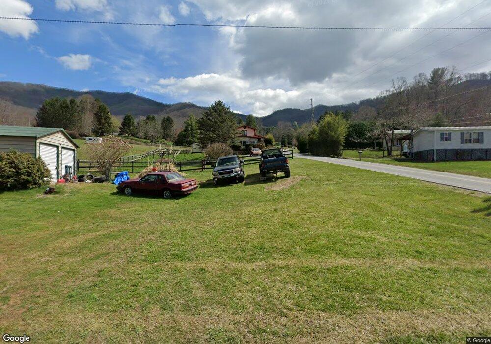
1449 Camp Branch Rd Waynesville, NC 28786
Estimated Value: $465,000 - $710,000
2
Beds
2
Baths
1,952
Sq Ft
$281/Sq Ft
Est. Value
About This Home
This home is located at 1449 Camp Branch Rd, Waynesville, NC 28786 and is currently estimated at $548,974, approximately $281 per square foot. 1449 Camp Branch Rd is a home located in Haywood County with nearby schools including Hazelwood Elementary, Waynesville Middle, and Tuscola High.
Ownership History
Date
Name
Owned For
Owner Type
Purchase Details
Closed on
May 29, 2009
Sold by
Wooldridge Larry D and Wooldridge Cynthia R
Bought by
Schrenk John L and Ballauer Mary Milling
Current Estimated Value
Home Financials for this Owner
Home Financials are based on the most recent Mortgage that was taken out on this home.
Original Mortgage
$270,000
Outstanding Balance
$170,957
Interest Rate
4.81%
Mortgage Type
Purchase Money Mortgage
Estimated Equity
$378,017
Create a Home Valuation Report for This Property
The Home Valuation Report is an in-depth analysis detailing your home's value as well as a comparison with similar homes in the area
Home Values in the Area
Average Home Value in this Area
Purchase History
| Date | Buyer | Sale Price | Title Company |
|---|---|---|---|
| Schrenk John L | $337,500 | None Available |
Source: Public Records
Mortgage History
| Date | Status | Borrower | Loan Amount |
|---|---|---|---|
| Open | Schrenk John L | $270,000 |
Source: Public Records
Tax History Compared to Growth
Tax History
| Year | Tax Paid | Tax Assessment Tax Assessment Total Assessment is a certain percentage of the fair market value that is determined by local assessors to be the total taxable value of land and additions on the property. | Land | Improvement |
|---|---|---|---|---|
| 2025 | -- | $267,700 | $59,900 | $207,800 |
| 2024 | $1,846 | $267,700 | $59,900 | $207,800 |
| 2023 | $1,846 | $267,700 | $59,900 | $207,800 |
| 2022 | $1,752 | $267,700 | $59,900 | $207,800 |
| 2021 | $1,752 | $267,700 | $59,900 | $207,800 |
| 2020 | $1,357 | $185,800 | $52,400 | $133,400 |
| 2019 | $1,362 | $185,800 | $52,400 | $133,400 |
| 2018 | $1,362 | $185,800 | $52,400 | $133,400 |
| 2017 | $1,362 | $185,800 | $0 | $0 |
| 2016 | $1,301 | $181,600 | $0 | $0 |
| 2015 | $1,301 | $181,600 | $0 | $0 |
| 2014 | $1,184 | $181,600 | $0 | $0 |
Source: Public Records
Map
Nearby Homes
- 208 Parrish Farm Rd
- 00000000 Fernbrook Dr
- Lot 18 & 19 Magnolia Way Unit 18 & 19
- 85 Fern Brook Dr
- 9999 Honeysuckle Dr Unit 10
- 00 Sanctuary Dr Unit 13
- 235 Timucua Trail
- 7 Cliff Ln Unit 17
- 36 Marigold Ct
- 42 Cliff Ln Unit 15
- 00 Grouse Ridge Rd Unit 2
- 00 Grouse Ridge Rd Unit 1
- 0 Presidential Dr Unit 8 CAR4150995
- 78 Aster Ln
- 9999 Centennial Dr Unit 5
- 00 Weatherwatch Ln Unit 48
- 362 Equestrian Dr Unit 18
- TBD Springbrook Farm Rd
- 600 Pinewood Dr
- 445 Equestrian Dr
- 1426 Camp Branch Rd
- 1446 Camp Branch Rd
- 1412 Camp Branch Rd
- 1456 Camp Branch Rd
- 14 Twilight Dr
- 1394 Camp Branch Rd
- 80 Nature Ln
- 1 Parrish Farm Rd Unit 1B
- 4 Parrish Farm Rd
- 4 Parrish Farm Rd Unit 4B
- LOT 10 Wolf Pen Meadows
- 1375 Camp Branch Rd
- 12 Nature Ln
- 4 Wolfpen Rd
- 40 Wolfpen Rd
- 72 Twilight Dr
- 11 Little Horse Rd
- 195 Nature Ln
- 40 Parrish Farm Rd
- 110 Wolfpen Rd