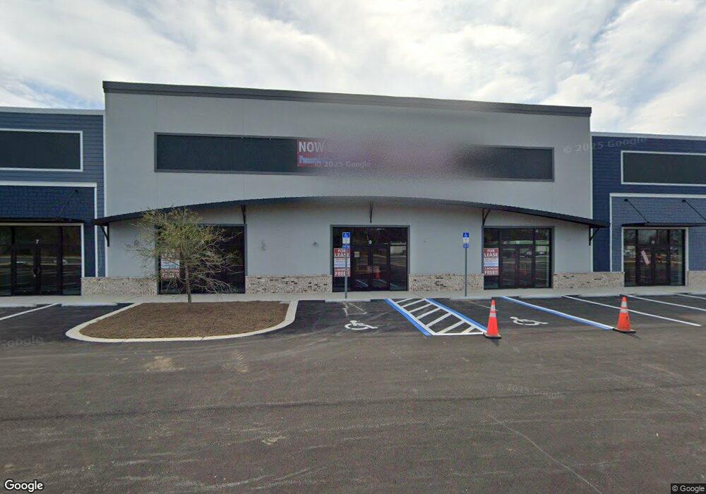
1449 W 9 Mile Rd Pensacola, FL 32534
--
Bed
--
Bath
27,189
Sq Ft
3.77
Acres
About This Home
This home is located at 1449 W 9 Mile Rd, Pensacola, FL 32534. 1449 W 9 Mile Rd is a home located in Escambia County with nearby schools including Lincoln Park Elementary School, Beulah Middle School, and J.M. Tate Senior High School.
Ownership History
Date
Name
Owned For
Owner Type
Purchase Details
Closed on
Aug 25, 2020
Sold by
Roberston Wilson B
Bought by
Brooks Llc
Purchase Details
Closed on
Jul 28, 2005
Sold by
Wos Enterprises Llc
Bought by
Robertson Brazwell Llc
Home Financials for this Owner
Home Financials are based on the most recent Mortgage that was taken out on this home.
Original Mortgage
$129,170
Interest Rate
5.51%
Mortgage Type
Seller Take Back
Purchase Details
Closed on
Mar 5, 2004
Sold by
Mills Gerald D and Mills Patricia A
Bought by
Robertson Wilson B
Home Financials for this Owner
Home Financials are based on the most recent Mortgage that was taken out on this home.
Original Mortgage
$490,000
Interest Rate
5.68%
Create a Home Valuation Report for This Property
The Home Valuation Report is an in-depth analysis detailing your home's value as well as a comparison with similar homes in the area
Home Values in the Area
Average Home Value in this Area
Purchase History
| Date | Buyer | Sale Price | Title Company |
|---|---|---|---|
| Brooks Llc | $1,200,000 | Mead Law And Title Pllc | |
| Robertson Brazwell Llc | $175,000 | Southland Acquire Land Title | |
| Robertson Wilson B | $590,000 | -- |
Source: Public Records
Mortgage History
| Date | Status | Borrower | Loan Amount |
|---|---|---|---|
| Previous Owner | Robertson Brazwell Llc | $129,170 | |
| Previous Owner | Robertson Wilson B | $490,000 |
Source: Public Records
Tax History Compared to Growth
Tax History
| Year | Tax Paid | Tax Assessment Tax Assessment Total Assessment is a certain percentage of the fair market value that is determined by local assessors to be the total taxable value of land and additions on the property. | Land | Improvement |
|---|---|---|---|---|
| 2024 | $34,576 | $2,300,108 | $685,000 | $1,615,108 |
| 2023 | $34,576 | $2,498,850 | $950,000 | $1,548,850 |
| 2022 | $12,742 | $950,000 | $950,000 | $0 |
| 2021 | $13,170 | $950,000 | $0 | $0 |
| 2020 | $3,330 | $267,000 | $0 | $0 |
| 2019 | $2,827 | $204,700 | $0 | $0 |
| 2018 | $2,885 | $204,700 | $0 | $0 |
| 2017 | $2,948 | $204,700 | $0 | $0 |
| 2016 | $2,998 | $204,700 | $0 | $0 |
| 2015 | $3,044 | $204,700 | $0 | $0 |
| 2014 | $3,086 | $204,700 | $0 | $0 |
Source: Public Records
Map
Nearby Homes
- 1412 Croquet Dr
- 1518 Farragut Way
- 8964 Abbington Dr
- 1455 Iroquois Ct
- 1422 Starlight Dr
- 9200 Bowman Ave
- 8920 Brigade Trail
- 8916 Brigade Trail
- 1403 Twilight Dr
- 8913 Brigade Trail
- 1433 Claridge Place
- 8907 Abbington Dr
- 116 Mt Pilot St
- 1463 Keylan Cove
- 213 Newberry St
- 8911 Fullham Ct
- 55 Newport St
- 428 Mayberry St
- 412 Mayberry St
- 1921 Larkspur Cir
- 1431 W Nine Mile Rd
- 9295 Ashland Ave
- 9295 Ashland Ave
- 1453 W Nine Mile Rd
- 4153 Ashland Ave
- 4150 Stefani Rd
- 1440 W Nine Mile Rd
- 1440 W Nine Mile Rd
- 1474 Dunhurst Dr
- 1466 Dunhurst Dr
- 1470 Dunhurst Dr
- 1458 Dunhurst Dr
- 1462 Dunhurst Dr
- 1450 Dunhurst Dr
- 1454 Dunhurst Dr
- 1478 Dunhurst Dr
- 1440 Dunhurst Dr
- 1482 Dunhurst Dr
- 1436 Dunhurst Dr
- 1486 Dunhurst Dr