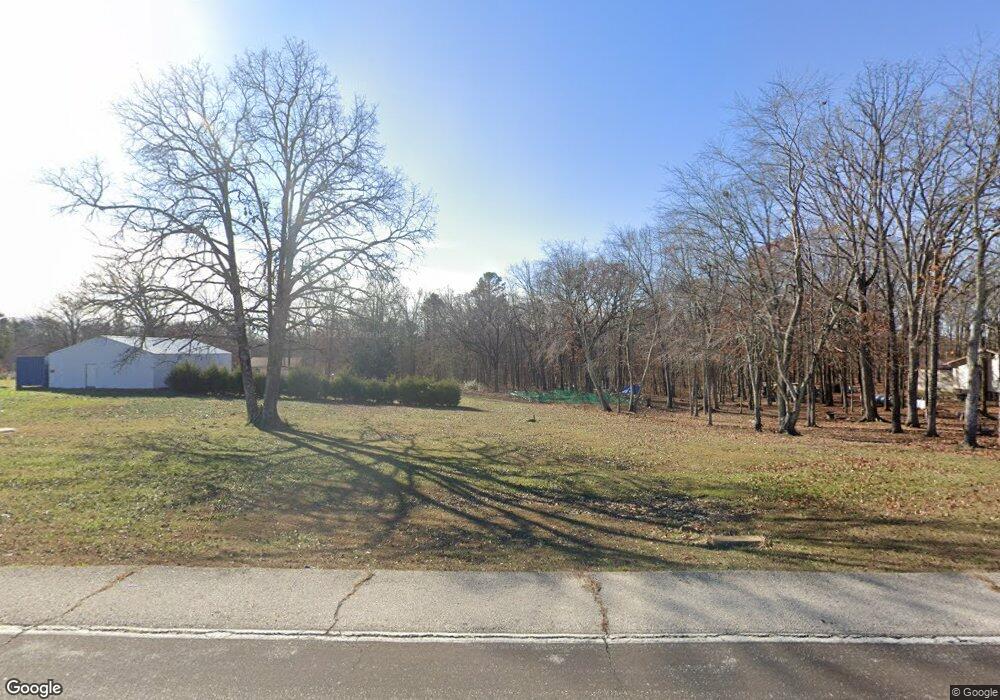
14492 Highway Pp Poplar Bluff, MO 63901
Estimated Value: $136,000 - $303,000
--
Bed
--
Bath
1,312
Sq Ft
$155/Sq Ft
Est. Value
About This Home
This home is located at 14492 Highway Pp, Poplar Bluff, MO 63901 and is currently estimated at $202,706, approximately $154 per square foot. 14492 Highway Pp is a home with nearby schools including East Carter County R-II Elementary School, East Carter County R-II Middle School, and East Carter County R-II High School.
Ownership History
Date
Name
Owned For
Owner Type
Purchase Details
Closed on
Feb 25, 2005
Sold by
Fancher George G and Fancher Eunice E
Bought by
Patterson Joe A and Patterson Stephanie D
Current Estimated Value
Home Financials for this Owner
Home Financials are based on the most recent Mortgage that was taken out on this home.
Original Mortgage
$59,430
Outstanding Balance
$30,448
Interest Rate
5.77%
Mortgage Type
FHA
Estimated Equity
$172,258
Create a Home Valuation Report for This Property
The Home Valuation Report is an in-depth analysis detailing your home's value as well as a comparison with similar homes in the area
Home Values in the Area
Average Home Value in this Area
Purchase History
| Date | Buyer | Sale Price | Title Company |
|---|---|---|---|
| Patterson Joe A | -- | -- |
Source: Public Records
Mortgage History
| Date | Status | Borrower | Loan Amount |
|---|---|---|---|
| Open | Patterson Joe A | $59,430 |
Source: Public Records
Tax History Compared to Growth
Tax History
| Year | Tax Paid | Tax Assessment Tax Assessment Total Assessment is a certain percentage of the fair market value that is determined by local assessors to be the total taxable value of land and additions on the property. | Land | Improvement |
|---|---|---|---|---|
| 2024 | $6 | $16,840 | $0 | $0 |
| 2023 | $603 | $16,840 | $0 | $0 |
| 2022 | $586 | $16,380 | $0 | $0 |
| 2021 | $586 | $16,380 | $0 | $0 |
| 2020 | $571 | $15,790 | $0 | $0 |
| 2019 | $570 | $15,790 | $0 | $0 |
| 2018 | $570 | $15,790 | $0 | $0 |
| 2017 | -- | $15,790 | $0 | $0 |
| 2016 | -- | $15,790 | $0 | $0 |
| 2015 | -- | $15,790 | $0 | $0 |
| 2014 | -- | $13,240 | $0 | $0 |
| 2012 | $480 | $13,240 | $0 | $0 |
Source: Public Records
Map
Nearby Homes
- 125 Lanee Ln
- 109 Lanee Ln
- TBD County Road 426
- Tbd County Road 426
- 10576 Highway Pp
- 10374 Highway 60 W
- 9711 Highway Pp
- 139 County Road 425
- 0 9 6 Ac + - Off Tt Hwy Unit MIS25050752
- 607 County Road 423
- 14108 Lynn Rd
- 0 County Road 421
- 858 County Road 420
- 689 Hoot Owl Ln
- 00 Rabbit Run Rd
- 202 Mount Ash Ln
- 2751 Carter Route B
- 1790 Carter 327
- 0 Brownwood Trails #18 Unit MIS25061746
- 56 Stringtown St
- 14496 Highway Pp
- 122 Lanee Ln
- 14475 Highway Pp
- 14576 Highway Pp
- 14586 Highway Pp
- 14470 Highway Pp
- 14464 Highway Pp
- 665 County Road 414
- 749 County Road 414
- 60 S South Dr W
- 14595 Highway Pp
- 14602 Highway Pp
- 14438 Highway Pp
- 14601 Highway Pp
- 503 Chase Trail
- 501 Chase Trail
- 345 County Road 414
- 312 County Road 414
- 14654 Highway Pp
- 15084 Highway 60 W
