145 1st St Branson West, MO 65737
Estimated Value: $344,000 - $466,000
4
Beds
2
Baths
1,520
Sq Ft
$260/Sq Ft
Est. Value
About This Home
This home is located at 145 1st St, Branson West, MO 65737 and is currently estimated at $395,418, approximately $260 per square foot. 145 1st St is a home located in Stone County with nearby schools including Reeds Spring Primary School, Reeds Spring Elementary School, and Reeds Spring Middle School.
Ownership History
Date
Name
Owned For
Owner Type
Purchase Details
Closed on
Aug 26, 2010
Sold by
Haase Dorothy M and Haase Revocable Livi Dorothy M
Bought by
Brown Lorinda D
Current Estimated Value
Home Financials for this Owner
Home Financials are based on the most recent Mortgage that was taken out on this home.
Original Mortgage
$159,920
Interest Rate
4.58%
Mortgage Type
New Conventional
Create a Home Valuation Report for This Property
The Home Valuation Report is an in-depth analysis detailing your home's value as well as a comparison with similar homes in the area
Home Values in the Area
Average Home Value in this Area
Purchase History
| Date | Buyer | Sale Price | Title Company |
|---|---|---|---|
| Brown Lorinda D | -- | -- |
Source: Public Records
Mortgage History
| Date | Status | Borrower | Loan Amount |
|---|---|---|---|
| Closed | Brown Lorinda D | $159,920 |
Source: Public Records
Tax History
| Year | Tax Paid | Tax Assessment Tax Assessment Total Assessment is a certain percentage of the fair market value that is determined by local assessors to be the total taxable value of land and additions on the property. | Land | Improvement |
|---|---|---|---|---|
| 2025 | $739 | $24,260 | -- | -- |
| 2024 | $738 | $15,090 | -- | -- |
| 2023 | $738 | $15,090 | $0 | $0 |
| 2022 | $734 | $15,090 | $0 | $0 |
| 2021 | $743 | $15,090 | $0 | $0 |
| 2020 | $654 | $15,090 | $0 | $0 |
| 2019 | $651 | $15,090 | $0 | $0 |
| 2018 | $650 | $15,090 | $0 | $0 |
| 2017 | $651 | $15,090 | $0 | $0 |
| 2016 | $633 | $15,090 | $0 | $0 |
| 2015 | $634 | $15,090 | $0 | $0 |
| 2014 | $587 | $14,190 | $0 | $0 |
| 2012 | $588 | $14,190 | $0 | $0 |
Source: Public Records
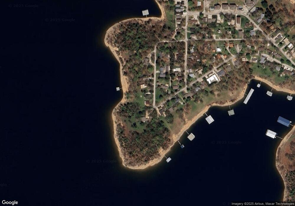
Map
Nearby Homes
- 735 Indian Valley Rd
- 25 Trade Winds Ln
- Tbd Lovers Ln
- 000 White Rockbluff
- 1403 Rocky Shore Terrace
- 1404 Rocky Shore Terrace
- 1302 Rocky Shore Terrace
- 1307 Rocky Shore Terrace
- 1304 Rocky Shore Terrace
- 1303 Rocky Shore Terrace Unit 3
- 120 Mocking Jay Ln Unit 119
- 120 Mocking Jay Ln Unit 120
- 1202 Rocky Shore Terrace
- 55 Lovers Ln
- 86 Rasso Way Unit 78
- 86 Rasso Way Unit 80
- 86 Rasso Way Unit 79
- 55 Ozark Vista Dr Unit E136
- 541 Ozark Mountain Resort Dr Unit 93
- 707 Rocky Shore Terrace Unit 7
Your Personal Tour Guide
Ask me questions while you tour the home.