145 Amys Cove Rd Unit 1 Blairsville, GA 30512
Ivylog NeighborhoodEstimated Value: $543,000 - $769,995
4
Beds
3
Baths
1,980
Sq Ft
$319/Sq Ft
Est. Value
About This Home
This home is located at 145 Amys Cove Rd Unit 1, Blairsville, GA 30512 and is currently estimated at $631,999, approximately $319 per square foot. 145 Amys Cove Rd Unit 1 is a home located in Union County with nearby schools including Union County Primary School, Union County Elementary School, and Union County Middle School.
Ownership History
Date
Name
Owned For
Owner Type
Purchase Details
Closed on
Oct 30, 2020
Sold by
Odonoghue Dana
Bought by
Clarke Barry Michael
Current Estimated Value
Purchase Details
Closed on
Mar 11, 2015
Sold by
Brown Linda H
Bought by
Odonoughue Dana
Purchase Details
Closed on
Nov 3, 2003
Sold by
Lehmann Maynard and Lehmann Ma
Bought by
Brown Linda H
Purchase Details
Closed on
Mar 12, 2001
Sold by
Collins Martha A
Bought by
Lehman Mary Simpson
Purchase Details
Closed on
Mar 8, 2000
Sold by
Penz Johannes & Mart
Bought by
Lehmann Maynard and Lehmann Ma
Purchase Details
Closed on
Aug 9, 1994
Bought by
Collins Martha A
Purchase Details
Closed on
Apr 2, 1991
Bought by
Penz Johannes & Mart
Create a Home Valuation Report for This Property
The Home Valuation Report is an in-depth analysis detailing your home's value as well as a comparison with similar homes in the area
Home Values in the Area
Average Home Value in this Area
Purchase History
| Date | Buyer | Sale Price | Title Company |
|---|---|---|---|
| Clarke Barry Michael | $690,000 | -- | |
| Odonoughue Dana | $460,000 | -- | |
| Brown Linda H | $44,000 | -- | |
| Lehman Mary Simpson | $25,000 | -- | |
| Lehmann Maynard | $25,900 | -- | |
| Collins Martha A | $16,900 | -- | |
| Penz Johannes & Mart | $16,900 | -- |
Source: Public Records
Tax History Compared to Growth
Tax History
| Year | Tax Paid | Tax Assessment Tax Assessment Total Assessment is a certain percentage of the fair market value that is determined by local assessors to be the total taxable value of land and additions on the property. | Land | Improvement |
|---|---|---|---|---|
| 2024 | $3,275 | $277,360 | $22,400 | $254,960 |
| 2023 | $3,593 | $269,880 | $22,400 | $247,480 |
| 2022 | $2,811 | $211,160 | $20,760 | $190,400 |
| 2021 | $2,810 | $178,280 | $20,760 | $157,520 |
| 2020 | $2,777 | $148,807 | $32,529 | $116,278 |
| 2019 | $2,625 | $148,807 | $32,529 | $116,278 |
| 2018 | $2,614 | $148,807 | $32,529 | $116,278 |
| 2017 | $2,579 | $148,807 | $32,529 | $116,278 |
| 2016 | $2,580 | $148,807 | $32,529 | $116,278 |
| 2015 | $2,186 | $123,356 | $32,529 | $90,827 |
| 2013 | -- | $109,345 | $18,518 | $90,826 |
Source: Public Records
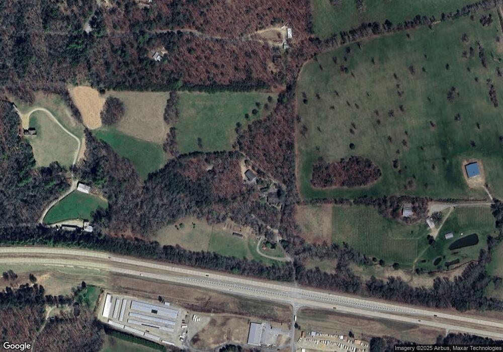
Map
Nearby Homes
- 542 Sharp Top Cir
- 189 Fountain Oaks Dr
- 70 Martys Dr
- LOT 48 Laurel Brooke
- 903 Georgia 325
- 124 Serene Way
- 288 Still Ln
- 86 Still Ln
- LOT 32 Byers Rd
- LT 32 Byers Rd
- Lot 25 Byers Rd
- LT 74 Ridgecrest Dr
- 0 Brumby Run
- 191 Deer Run Rd
- 604 Ridgecrest Dr
- Lot 16 Deer Run Rd
- 110 Alex Way
- 510 Ridgecrest Dr
- TBD Alex Way
- 145 Amys Cove Rd
- 101 Amys Cove Rd
- 0 Amy's Cove Rd
- 231 Amy's Cove Rd
- 231 Amys Cove Rd
- 10 Copperhead Rd
- 0 Copperhead Rd Unit 18.63AC 8024843
- 0 Copperhead Rd Unit 8864405
- 0 Copperhead Rd Unit 304479
- 0 Copperhead Rd Unit 7350801
- 0 Copperhead Rd Unit 7565386
- 733 Odom Rd
- 42 Copperhead Rd
- 232 Ashworth Ln
- 40 Sharp Top Cir
- 66 Sharp Top Cir
- LOT 30 Sharp Top Settlement
- 36a Sharptop Settlement Unit Lot 36A
- 36a Sharptop Settlement
- 104 Ashworth Ln