145 Andrews Ln Coatesville, PA 19320
Valley NeighborhoodEstimated Value: $392,262 - $442,000
3
Beds
2
Baths
1,878
Sq Ft
$224/Sq Ft
Est. Value
About This Home
This home is located at 145 Andrews Ln, Coatesville, PA 19320 and is currently estimated at $420,816, approximately $224 per square foot. 145 Andrews Ln is a home located in Chester County with nearby schools including Coatesville Intermediate High School, Coatesville Area Senior High School, and Valley Christian School.
Ownership History
Date
Name
Owned For
Owner Type
Purchase Details
Closed on
Mar 26, 2024
Sold by
Muscatello Lori and Muscatello Marci
Bought by
Muscatello Lori
Current Estimated Value
Home Financials for this Owner
Home Financials are based on the most recent Mortgage that was taken out on this home.
Original Mortgage
$206,000
Outstanding Balance
$202,922
Interest Rate
6.88%
Mortgage Type
New Conventional
Estimated Equity
$217,894
Purchase Details
Closed on
Feb 21, 2024
Sold by
Muscatello Margaret B and Muscatello Lori
Bought by
Muscatello Lori and Muscatello Marci
Home Financials for this Owner
Home Financials are based on the most recent Mortgage that was taken out on this home.
Original Mortgage
$206,000
Outstanding Balance
$202,922
Interest Rate
6.88%
Mortgage Type
New Conventional
Estimated Equity
$217,894
Create a Home Valuation Report for This Property
The Home Valuation Report is an in-depth analysis detailing your home's value as well as a comparison with similar homes in the area
Home Values in the Area
Average Home Value in this Area
Purchase History
| Date | Buyer | Sale Price | Title Company |
|---|---|---|---|
| Muscatello Lori | -- | None Listed On Document | |
| Muscatello Lori | -- | None Listed On Document | |
| Muscatello Lori | -- | None Listed On Document |
Source: Public Records
Mortgage History
| Date | Status | Borrower | Loan Amount |
|---|---|---|---|
| Open | Muscatello Lori | $206,000 |
Source: Public Records
Tax History Compared to Growth
Tax History
| Year | Tax Paid | Tax Assessment Tax Assessment Total Assessment is a certain percentage of the fair market value that is determined by local assessors to be the total taxable value of land and additions on the property. | Land | Improvement |
|---|---|---|---|---|
| 2025 | $5,952 | $117,010 | $26,370 | $90,640 |
| 2024 | $5,952 | $117,010 | $26,370 | $90,640 |
| 2023 | $5,800 | $117,010 | $26,370 | $90,640 |
| 2022 | $5,621 | $117,010 | $26,370 | $90,640 |
| 2021 | $5,447 | $117,010 | $26,370 | $90,640 |
| 2020 | $5,397 | $117,010 | $26,370 | $90,640 |
| 2019 | $5,198 | $117,010 | $26,370 | $90,640 |
| 2018 | $4,983 | $117,010 | $26,370 | $90,640 |
| 2017 | $4,660 | $117,010 | $26,370 | $90,640 |
| 2016 | $3,667 | $117,010 | $26,370 | $90,640 |
| 2015 | $3,667 | $117,010 | $26,370 | $90,640 |
| 2014 | $3,667 | $117,010 | $26,370 | $90,640 |
Source: Public Records
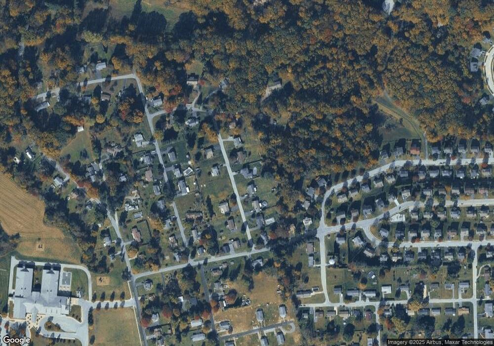
Map
Nearby Homes
- 809 Meadowbrook Dr
- 801 Franklin St
- 37 Lamberts Ln
- 787 W Main St
- 924 Lafayette
- 380 Hamilton Ln
- 110 Coldbrooke Ln
- 705 W Lincoln Hwy
- 0 Ross Ln
- 640 Old Lincoln Hwy
- 0 Mount Pleasant St
- 721 Wagontown Rd
- 717 Wagontown Rd
- 775 Wagontown Rd
- 432 Mount Pleasant St
- 354 Mount Pleasant St
- 381 Charles St
- 903 Wagontown Rd
- 905 Wagontown Rd
- 911 Wagontown Rd
- 155 Andrews Ln
- 135 Andrews Ln
- 159 Andrews Ln
- 125 Andrews Ln
- 150 Andrews Ln
- 130 Andrews Ln
- 160 Andrews Ln
- 115 Andrews Ln
- 102 Hillcrest Rd
- 104 Hillcrest Rd
- 769 Meadowbrook Dr
- 120 Andrews Ln
- 765 Meadowbrook Dr
- 917 Franklin St
- 105 Andrews Ln
- 165 Saint George St
- 12 Hillcrest Rd
- 175 Saint George St
- 145 Saint George St
- 761 Meadowbrook Dr