145 Armstrong Ave Methuen, MA 01844
The East End NeighborhoodEstimated Value: $476,000 - $519,000
3
Beds
3
Baths
1,884
Sq Ft
$266/Sq Ft
Est. Value
About This Home
This home is located at 145 Armstrong Ave, Methuen, MA 01844 and is currently estimated at $501,945, approximately $266 per square foot. 145 Armstrong Ave is a home located in Essex County with nearby schools including Timony Grammar School, Methuen High School, and Community Day Charter Public School - Gateway.
Ownership History
Date
Name
Owned For
Owner Type
Purchase Details
Closed on
Apr 21, 2020
Sold by
Boule Douglas E and Harrington Stephanie
Bought by
Vargas Luis A and Vargas Ortiz
Current Estimated Value
Home Financials for this Owner
Home Financials are based on the most recent Mortgage that was taken out on this home.
Original Mortgage
$15,000
Outstanding Balance
$10,464
Interest Rate
3.5%
Mortgage Type
Second Mortgage Made To Cover Down Payment
Estimated Equity
$491,481
Purchase Details
Closed on
Nov 6, 2007
Sold by
Jeffco Inc
Bought by
Boule Douglas E and Harrington Stephanie
Home Financials for this Owner
Home Financials are based on the most recent Mortgage that was taken out on this home.
Original Mortgage
$41,985
Interest Rate
6.43%
Mortgage Type
Purchase Money Mortgage
Create a Home Valuation Report for This Property
The Home Valuation Report is an in-depth analysis detailing your home's value as well as a comparison with similar homes in the area
Home Values in the Area
Average Home Value in this Area
Purchase History
| Date | Buyer | Sale Price | Title Company |
|---|---|---|---|
| Vargas Luis A | $365,000 | None Available | |
| Boule Douglas E | $279,900 | -- |
Source: Public Records
Mortgage History
| Date | Status | Borrower | Loan Amount |
|---|---|---|---|
| Open | Vargas Luis A | $15,000 | |
| Previous Owner | Boule Douglas E | $41,985 |
Source: Public Records
Tax History Compared to Growth
Tax History
| Year | Tax Paid | Tax Assessment Tax Assessment Total Assessment is a certain percentage of the fair market value that is determined by local assessors to be the total taxable value of land and additions on the property. | Land | Improvement |
|---|---|---|---|---|
| 2025 | $4,282 | $404,700 | $0 | $404,700 |
| 2024 | $3,976 | $366,100 | $0 | $366,100 |
| 2023 | $4,082 | $348,900 | $0 | $348,900 |
| 2022 | $4,504 | $345,100 | $0 | $345,100 |
| 2021 | $4,020 | $304,800 | $0 | $304,800 |
| 2020 | $3,848 | $286,300 | $0 | $286,300 |
| 2019 | $3,872 | $272,900 | $0 | $272,900 |
| 2018 | $3,937 | $275,900 | $0 | $275,900 |
| 2017 | $3,336 | $227,700 | $0 | $227,700 |
| 2016 | $3,245 | $219,100 | $0 | $219,100 |
| 2015 | $3,079 | $210,900 | $0 | $210,900 |
Source: Public Records
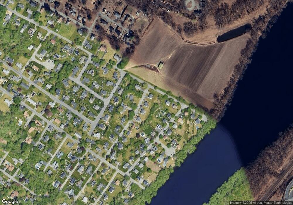
Map
Nearby Homes
- 15 Rivers Edge Place
- 15 Burrill Ave
- 48 Wingate Ave
- 34 Varnum Ave
- 29 Wallace St
- 29 Pitman St
- 9 Scherig St
- 22 Derry Rd
- 66 Newbury Ave
- 40 Comet Rd
- 144 Merrimack St
- 10 Albermarle St
- 36 W Ayer St
- 331 Merrimack St
- 28 Riverview Blvd
- 17 Ferry Rd
- 46 Gaston St
- 6 Aberdeen Rd
- 87 Farrwood Dr
- 23 Constitution Way Unit 23
- 143 Armstrong Ave
- 145 Armstrong Ave Unit 145
- 145 Armstrong Ave Unit A
- 139 Armstrong Ave
- 141 Armstrong Ave
- 147 Armstrong Ave
- 149 Armstrong Ave
- 149 Armstrong Ave Unit 149
- 126 Armstrong Ave
- 135 Armstrong Ave Unit 137
- 135 Armstrong Ave
- 135 Armstrong Ave Unit 135
- 137 Armstrong Ave
- 115 Wingate Ave
- 121 Wingate Ave
- 124 Armstrong Ave
- 18 Rivers Edge Place
- 16 Rivers Edge Place
- 14 Rivers Edge Place
- 131 Armstrong Ave