145 Bobcat Ln Dahlonega, GA 30533
Estimated Value: $310,511 - $457,000
--
Bed
3
Baths
1,530
Sq Ft
$246/Sq Ft
Est. Value
About This Home
This home is located at 145 Bobcat Ln, Dahlonega, GA 30533 and is currently estimated at $376,628, approximately $246 per square foot. 145 Bobcat Ln is a home located in Lumpkin County with nearby schools including Lumpkin County High School.
Ownership History
Date
Name
Owned For
Owner Type
Purchase Details
Closed on
Aug 30, 1996
Sold by
Gibson Hoyt Wayne
Bought by
Grundy Mark A
Current Estimated Value
Purchase Details
Closed on
Jan 31, 1989
Sold by
Gibson Hoyt Wayne
Bought by
Gibson Hoyt Wayne
Purchase Details
Closed on
Jul 1, 1986
Sold by
Gibson Hoyt Wayne
Bought by
Gibson Hoyt Wayne
Purchase Details
Closed on
Oct 1, 1982
Bought by
Gibson Hoyt Wayne
Create a Home Valuation Report for This Property
The Home Valuation Report is an in-depth analysis detailing your home's value as well as a comparison with similar homes in the area
Home Values in the Area
Average Home Value in this Area
Purchase History
| Date | Buyer | Sale Price | Title Company |
|---|---|---|---|
| Grundy Mark A | $87,500 | -- | |
| Gibson Hoyt Wayne | -- | -- | |
| Gibson Hoyt Wayne | -- | -- | |
| Gibson Hoyt Wayne | $20,000 | -- |
Source: Public Records
Tax History Compared to Growth
Tax History
| Year | Tax Paid | Tax Assessment Tax Assessment Total Assessment is a certain percentage of the fair market value that is determined by local assessors to be the total taxable value of land and additions on the property. | Land | Improvement |
|---|---|---|---|---|
| 2024 | $1,658 | $73,305 | $22,609 | $50,696 |
| 2023 | $1,196 | $70,411 | $22,609 | $47,802 |
| 2022 | $1,509 | $62,962 | $18,841 | $44,121 |
| 2021 | $1,399 | $56,652 | $18,841 | $37,811 |
| 2020 | $1,399 | $55,045 | $18,053 | $36,992 |
| 2019 | $1,412 | $55,045 | $18,053 | $36,992 |
| 2018 | $1,399 | $51,309 | $18,053 | $33,256 |
| 2017 | $1,424 | $51,215 | $18,053 | $33,162 |
| 2016 | $1,364 | $47,613 | $18,053 | $29,560 |
| 2015 | $1,223 | $47,612 | $18,053 | $29,560 |
| 2014 | $1,223 | $48,400 | $18,053 | $30,347 |
| 2013 | -- | $48,794 | $18,052 | $30,741 |
Source: Public Records
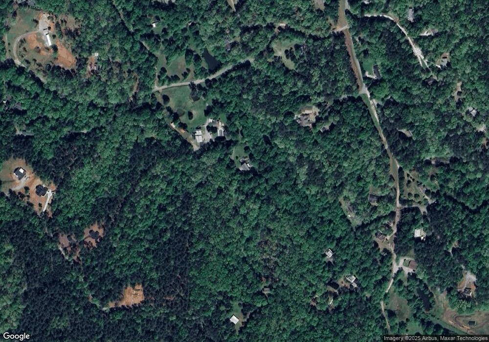
Map
Nearby Homes
- 115 W Woods Dr
- 78 Etowah West Dr
- 9 W Woods Ct
- 436 Applewood Ln
- 5.31 Tom Bell Odom Rd
- 33 T J Mote Rd
- 33 Tj Mote Rd
- 120 Twisted Pines Crossing
- 194 Deerfield Dr
- 543 Rider Mill Rd
- 1120 Horton Rd
- 150 Buck Run E
- 50 Loyal Dr
- 486 Laurel Cir
- 221 Laurel Cir
- 10 Strada Del Vino
- 3050 Sheep Wallow Rd
- 0 Nimblewill Creek Rd Unit 7592435
- 0 Nimblewill Creek Rd Unit 10537541
- 0 Nimblewill Creek Rd Unit 10537492
- 27 Bobcat Ln
- 70 Bobcat Ln
- 33 Sheep Wallow Rd
- 154 Sheep Wallow Rd
- 142 Tobacco Pouch Ln
- 311 Sheep Wallow Rd
- 160 Beaver Ln
- 72 Tobacco Pouch Ln
- 82 Tobacco Pouch Ln
- 125 Dickerson Rd
- LOT 18 Tobacco Pouch Ln
- 00 Sheep Walloe Rd
- 343 Sheep Wallow Rd
- 141 Bobcat Ridge Dr
- 141 Bobcat Ln
- 184 Sheep Wallow Rd
- 34 Beaver Ln
- 182 Tobacco Pouch Ln
- 463 Frank Christian Rd
- 493 Frank Christian Rd