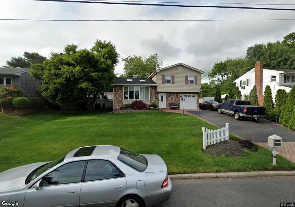
145 Bretton Rd Hauppauge, NY 11788
Estimated Value: $689,371 - $777,000
4
Beds
2
Baths
--
Sq Ft
0.28
Acres
About This Home
This home is located at 145 Bretton Rd, Hauppauge, NY 11788 and is currently estimated at $740,093. 145 Bretton Rd is a home located in Suffolk County with nearby schools including Hauppauge Middle School and Hauppauge High School.
Ownership History
Date
Name
Owned For
Owner Type
Purchase Details
Closed on
Jul 6, 2016
Sold by
Colon Richard and Colon Michele
Bought by
Sauer Brian and Tropia Lori Ann
Current Estimated Value
Home Financials for this Owner
Home Financials are based on the most recent Mortgage that was taken out on this home.
Original Mortgage
$360,000
Outstanding Balance
$287,017
Interest Rate
3.54%
Mortgage Type
New Conventional
Estimated Equity
$453,076
Purchase Details
Closed on
Mar 29, 2001
Sold by
Mcguire Josephine
Bought by
Mikkin Edward and Mikkin Donna
Home Financials for this Owner
Home Financials are based on the most recent Mortgage that was taken out on this home.
Original Mortgage
$256,500
Interest Rate
6.9%
Create a Home Valuation Report for This Property
The Home Valuation Report is an in-depth analysis detailing your home's value as well as a comparison with similar homes in the area
Home Values in the Area
Average Home Value in this Area
Purchase History
| Date | Buyer | Sale Price | Title Company |
|---|---|---|---|
| Sauer Brian | $450,000 | None Available | |
| Mikkin Edward | $270,000 | -- |
Source: Public Records
Mortgage History
| Date | Status | Borrower | Loan Amount |
|---|---|---|---|
| Open | Sauer Brian | $360,000 | |
| Previous Owner | Mikkin Edward | $256,500 |
Source: Public Records
Tax History Compared to Growth
Tax History
| Year | Tax Paid | Tax Assessment Tax Assessment Total Assessment is a certain percentage of the fair market value that is determined by local assessors to be the total taxable value of land and additions on the property. | Land | Improvement |
|---|---|---|---|---|
| 2024 | $9,963 | $43,500 | $8,000 | $35,500 |
| 2023 | $9,963 | $43,500 | $8,000 | $35,500 |
| 2022 | $7,445 | $43,500 | $8,000 | $35,500 |
| 2021 | $7,445 | $43,500 | $8,000 | $35,500 |
| 2020 | $8,923 | $43,500 | $8,000 | $35,500 |
| 2019 | $8,923 | $0 | $0 | $0 |
| 2018 | -- | $43,500 | $8,000 | $35,500 |
| 2017 | $8,541 | $43,500 | $8,000 | $35,500 |
| 2016 | $7,539 | $43,500 | $8,000 | $35,500 |
| 2015 | -- | $43,500 | $8,000 | $35,500 |
| 2014 | -- | $43,500 | $8,000 | $35,500 |
Source: Public Records
Map
Nearby Homes
- 11 Joyce Dr
- 23 Ridge Ct
- 126 Roosevelt Blvd
- 3 Milford Dr
- 0 Bridge Rd Unit KEY814925
- 375 Oakland Ave
- 1010 Motor Pkwy
- 228 Feller Dr
- 229 Feller Dr
- 6 Rolling Wood Ct
- 246 Roosevelt Blvd
- 123 Feller Dr
- 20 Macarthur Blvd
- 57 Adams Rd Unit 1H
- 154 Mac Arthur Blvd
- 87 Columbus Ave
- 71 Adams Rd Unit 1G
- 71 Adams Rd Unit E 2A
- 6 Hilliard Ave
- 18 Hilliard Ave
- 139 Bretton Rd
- 151 Bretton Rd
- 133 Bretton Rd
- 157 Bretton Rd
- 112 Woodbury Rd
- 106 Woodbury Rd
- 118 Woodbury Rd
- 152 Bretton Rd
- 54 Queen Anne Place
- 100 Woodbury Rd
- 127 Bretton Rd
- 122 Woodbury Rd
- 134 Bretton Rd
- 161 Bretton Rd
- 126 Woodbury Rd
- 96 Woodbury Rd
- 47 Queen Anne Place
- 128 Bretton Rd
- 121 Bretton Rd
- 46 Queen Anne Place