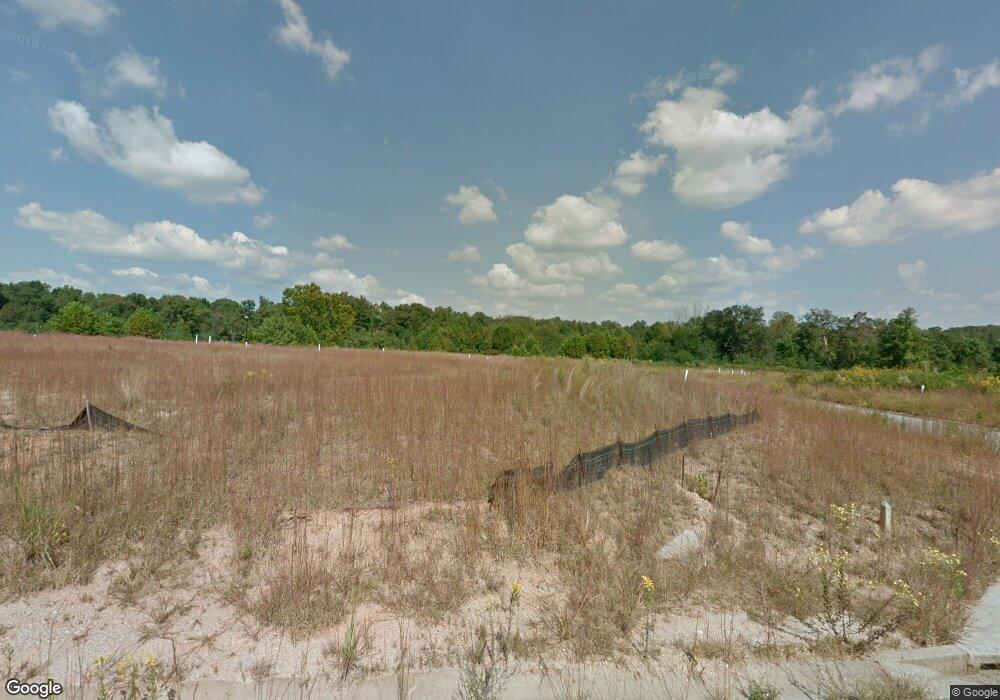
Estimated Value: $330,000 - $374,000
4
Beds
3
Baths
1,731
Sq Ft
$198/Sq Ft
Est. Value
About This Home
This home is located at 145 Brookside Place Unit 44, Lula, GA 30554 and is currently estimated at $343,537, approximately $198 per square foot. 145 Brookside Place Unit 44 is a home located in Banks County with nearby schools including Banks County Primary School, Banks County Elementary School, and Banks County Middle School.
Ownership History
Date
Name
Owned For
Owner Type
Purchase Details
Closed on
Sep 17, 2021
Sold by
Figgins David
Bought by
Haynes Ladean Musgrave
Current Estimated Value
Home Financials for this Owner
Home Financials are based on the most recent Mortgage that was taken out on this home.
Original Mortgage
$212,000
Outstanding Balance
$192,483
Interest Rate
2.8%
Mortgage Type
New Conventional
Estimated Equity
$151,054
Purchase Details
Closed on
Mar 12, 2018
Sold by
Southfork Homes Llc
Bought by
Figgins David
Purchase Details
Closed on
Jun 7, 2017
Sold by
Not Provided
Bought by
Southfork Homes Llc
Create a Home Valuation Report for This Property
The Home Valuation Report is an in-depth analysis detailing your home's value as well as a comparison with similar homes in the area
Home Values in the Area
Average Home Value in this Area
Purchase History
| Date | Buyer | Sale Price | Title Company |
|---|---|---|---|
| Haynes Ladean Musgrave | $265,000 | -- | |
| Haynes Ladean Musgrave | $265,000 | -- | |
| Figgins David | $155,900 | -- | |
| Figgins David | $155,900 | -- | |
| Southfork Homes Llc | $324,000 | -- | |
| Southfork Homes Llc | $324,000 | -- |
Source: Public Records
Mortgage History
| Date | Status | Borrower | Loan Amount |
|---|---|---|---|
| Open | Haynes Ladean Musgrave | $212,000 |
Source: Public Records
Tax History Compared to Growth
Tax History
| Year | Tax Paid | Tax Assessment Tax Assessment Total Assessment is a certain percentage of the fair market value that is determined by local assessors to be the total taxable value of land and additions on the property. | Land | Improvement |
|---|---|---|---|---|
| 2025 | $2,570 | $134,620 | $14,000 | $120,620 |
| 2024 | $2,570 | $117,928 | $8,000 | $109,928 |
| 2023 | $2,324 | $110,369 | $14,000 | $96,369 |
| 2022 | $2,128 | $101,295 | $14,000 | $87,295 |
| 2021 | $1,662 | $76,374 | $8,000 | $68,374 |
| 2020 | $1,575 | $70,688 | $6,000 | $64,688 |
| 2019 | $1,391 | $66,322 | $6,000 | $60,322 |
| 2018 | $1,127 | $48,092 | $6,000 | $42,092 |
| 2017 | $109 | $4,400 | $4,400 | $0 |
| 2016 | $50 | $2,000 | $2,000 | $0 |
| 2015 | $47 | $2,000 | $2,000 | $0 |
| 2014 | $47 | $2,000 | $2,000 | $0 |
| 2013 | -- | $2,000 | $2,000 | $0 |
Source: Public Records
Map
Nearby Homes
- 163 Brookside Dr
- 0 Caudell Dr Unit 7642531
- 0 Caudell Dr Unit 10596149
- 131 Caudell Dr
- 131 Dr
- 6455 Main St
- 6253 Main St
- 5867 Main St
- 6688 Lookout Ct
- 6713 E Wind Dr
- 6668 Belton Bridge Rd
- 125 Iron Horse Trail
- 6108 Carter St
- 6385 Pine Station Dr
- 6805 Belton Bridge Place
- 5312 Skyland Ct
- 5107 Mountain View Pkwy
- 0 Barefoot Rd Unit 7594746
- 6041 Cobb St
- 0 Barefoot Cir Unit 10616985
- 145 Brookside Place
- 145 Brookside Place
- 143 Brookside Place Unit 43
- 174 Brookside Dr Unit 39
- 170 Brookside Dr
- 198 Waterford Glen Dr
- 166 Brookside Dr
- 136 Brookside Place Unit 97
- 188 Brookside Dr
- 162 Brookside Dr
- 136 Brookside Place
- 177 Brookside Dr
- 169 Brookside Dr
- 181 Brookside Dr
- 158 Brookside Dr
- 132 Brookside Place
- 167 Brookside Dr
- 0 Brookside Unit 94 8423231
- 0 Brookside Unit 95 8423211
- 0 Brookside Unit 55 8379738
