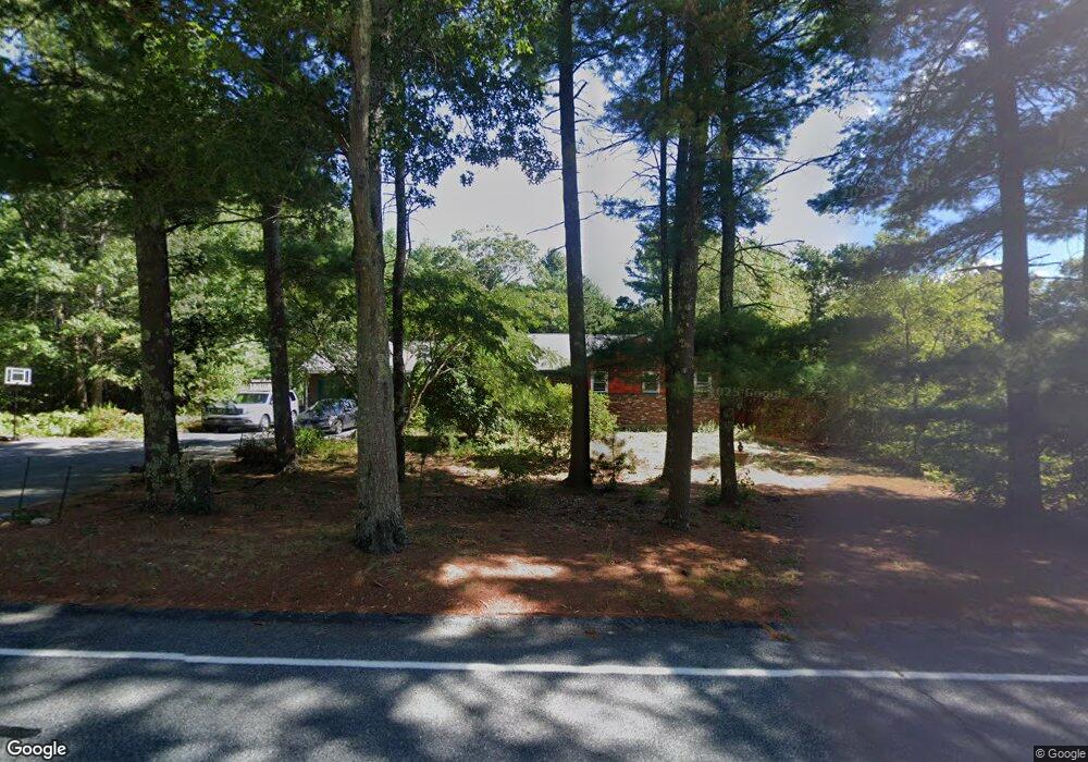
145 Bullock Rd East Freetown, MA 02717
Estimated Value: $576,000 - $696,000
3
Beds
3
Baths
1,792
Sq Ft
$345/Sq Ft
Est. Value
About This Home
This home is located at 145 Bullock Rd, East Freetown, MA 02717 and is currently estimated at $619,118, approximately $345 per square foot. 145 Bullock Rd is a home located in Bristol County with nearby schools including George R Austin Intermediate School, Freetown-Lakeville Middle School, and Apponequet Regional High School.
Ownership History
Date
Name
Owned For
Owner Type
Purchase Details
Closed on
Oct 21, 1987
Sold by
Nadeau Richard P
Bought by
Burrer Steven B
Current Estimated Value
Home Financials for this Owner
Home Financials are based on the most recent Mortgage that was taken out on this home.
Original Mortgage
$85,000
Interest Rate
10.92%
Mortgage Type
Purchase Money Mortgage
Create a Home Valuation Report for This Property
The Home Valuation Report is an in-depth analysis detailing your home's value as well as a comparison with similar homes in the area
Home Values in the Area
Average Home Value in this Area
Purchase History
| Date | Buyer | Sale Price | Title Company |
|---|---|---|---|
| Burrer Steven B | $152,500 | -- |
Source: Public Records
Mortgage History
| Date | Status | Borrower | Loan Amount |
|---|---|---|---|
| Closed | Burrer Steven B | $83,000 | |
| Closed | Burrer Steven B | $85,000 |
Source: Public Records
Tax History Compared to Growth
Tax History
| Year | Tax Paid | Tax Assessment Tax Assessment Total Assessment is a certain percentage of the fair market value that is determined by local assessors to be the total taxable value of land and additions on the property. | Land | Improvement |
|---|---|---|---|---|
| 2025 | $4,524 | $456,500 | $161,500 | $295,000 |
| 2024 | $4,536 | $434,900 | $152,400 | $282,500 |
| 2023 | $4,408 | $411,600 | $137,200 | $274,400 |
| 2022 | $4,239 | $351,500 | $116,200 | $235,300 |
| 2021 | $4,064 | $320,000 | $105,700 | $214,300 |
| 2020 | $4,019 | $308,700 | $101,700 | $207,000 |
| 2019 | $3,828 | $291,100 | $96,800 | $194,300 |
| 2018 | $3,603 | $270,700 | $96,800 | $173,900 |
| 2017 | $3,498 | $262,600 | $96,800 | $165,800 |
| 2016 | $3,368 | $257,300 | $94,000 | $163,300 |
| 2015 | $3,278 | $254,100 | $94,000 | $160,100 |
| 2014 | $3,098 | $245,700 | $92,100 | $153,600 |
Source: Public Records
Map
Nearby Homes
- 150 Quanapoag Rd
- Lot 2/3 Quanapoag Rd
- 144 Chace Rd
- 599 Quanapoag Rd
- 0 Costa Dr
- 195 Slab Bridge Rd
- 264 Collins Corner Rd
- 1475 Braley Rd Unit 17
- 13 Luscomb Ln
- 16 Swallow St
- 4597 Acushnet Ave
- 1069 Cherokee St
- 300 High Hill Rd
- 353 Upland St
- 64 Blaze Rd
- 210 Heritage Dr
- 319 Northwest St
- 34 Poplar Rd
- 145 Heritage Dr
- ES Phillips Rd
- 147 Bullock Rd
- 143 Bullock Rd
- 5 Algonquin Way
- 149 Bullock Rd
- 146 Chipaway Rd
- 7 Algonquin Way
- 152 Chipaway Rd
- 151 Bullock Rd
- 4 Algonquin Way
- 143 Chipaway Rd
- 9 Algonquin Way
- 8 Algonquin Way
- 6 Algonquin Way
- 153 Bullock Rd
- 139 Bullock Rd
- 11 Algonquin Way
- 144 Chipaway Rd
- 141 Chipaway Rd
- 10 Algonquin Way
- 155 Bullock Rd