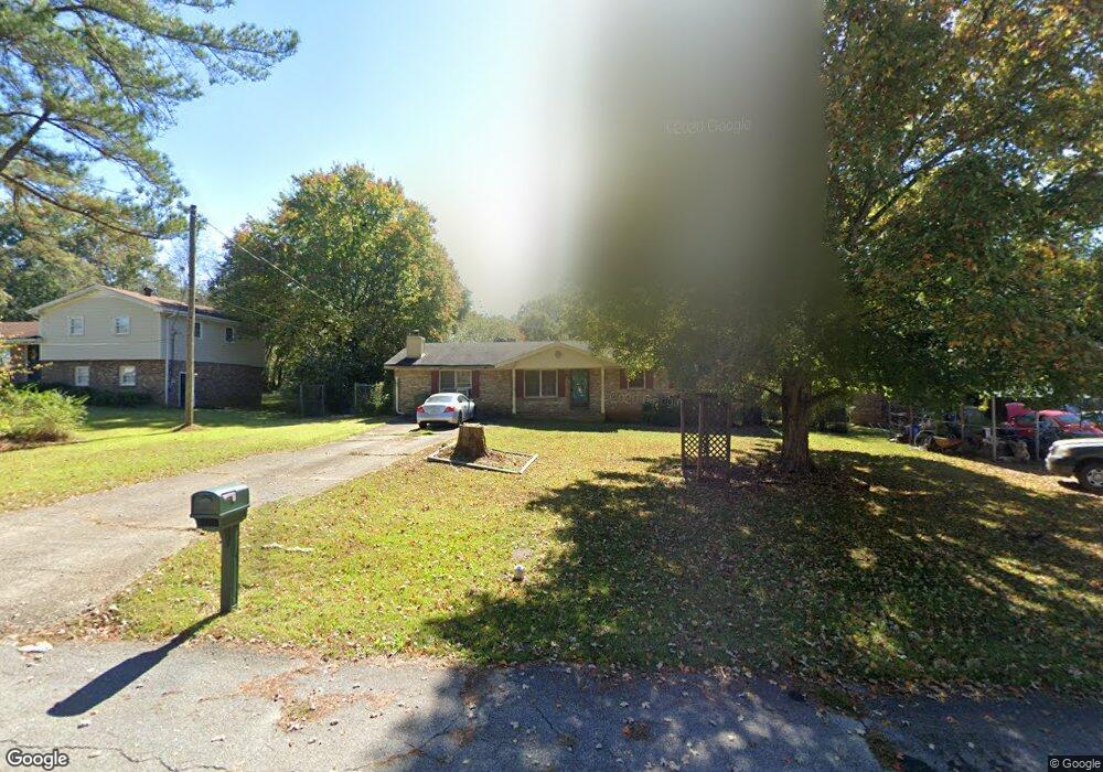
145 Carroll Cir Carrollton, GA 30117
Estimated Value: $230,765 - $278,000
3
Beds
2
Baths
1,848
Sq Ft
$134/Sq Ft
Est. Value
About This Home
This home is located at 145 Carroll Cir, Carrollton, GA 30117 and is currently estimated at $247,191, approximately $133 per square foot. 145 Carroll Cir is a home located in Carroll County with nearby schools including Carrollton Elementary School, Carrollton Upper Elementary School, and Carrollton Middle School.
Ownership History
Date
Name
Owned For
Owner Type
Purchase Details
Closed on
Jun 24, 2018
Sold by
Clay Ray E
Bought by
Clay Susan Brown
Current Estimated Value
Purchase Details
Closed on
Dec 16, 1994
Sold by
Bell Stephanie P
Bought by
Clay Ray E
Purchase Details
Closed on
Dec 9, 1992
Sold by
Bell Billy M and Foss Ann G
Bought by
Bell Stephanie P
Purchase Details
Closed on
Mar 13, 1991
Sold by
Crawford James M and Crawford Freda A
Bought by
Bell Billy M and Foss Ann G
Purchase Details
Closed on
Nov 1, 1988
Sold by
Crawford James and Crawford Lorene C
Bought by
Crawford James M and Crawford Freda A
Purchase Details
Closed on
Sep 1, 1986
Sold by
Pope Shirley H
Bought by
Crawford James and Crawford Lorene C
Purchase Details
Closed on
Jul 1, 1980
Sold by
Brandenburg Donald and Brandenburg Cheryl
Bought by
Pope Shirley H
Purchase Details
Closed on
Aug 3, 1979
Sold by
Franklin Paul Douglas
Bought by
Brandenburg Donald and Brandenburg Cheryl
Purchase Details
Closed on
Jan 1, 1976
Sold by
Cook Charles T and Cook Martha
Bought by
Franklin Paul Douglas
Purchase Details
Closed on
Oct 7, 1972
Sold by
Dixie Hills Ent
Bought by
Cook Charles T and Cook Martha
Create a Home Valuation Report for This Property
The Home Valuation Report is an in-depth analysis detailing your home's value as well as a comparison with similar homes in the area
Home Values in the Area
Average Home Value in this Area
Purchase History
| Date | Buyer | Sale Price | Title Company |
|---|---|---|---|
| Clay Susan Brown | -- | -- | |
| Clay Ray E | $49,900 | -- | |
| Bell Stephanie P | $32,800 | -- | |
| Bell Billy M | $38,900 | -- | |
| Crawford James M | -- | -- | |
| Crawford James | $45,000 | -- | |
| Pope Shirley H | $42,500 | -- | |
| Brandenburg Donald | -- | -- | |
| Franklin Paul Douglas | $28,500 | -- | |
| Cook Charles T | $21,800 | -- |
Source: Public Records
Tax History Compared to Growth
Tax History
| Year | Tax Paid | Tax Assessment Tax Assessment Total Assessment is a certain percentage of the fair market value that is determined by local assessors to be the total taxable value of land and additions on the property. | Land | Improvement |
|---|---|---|---|---|
| 2024 | $478 | $70,523 | $6,000 | $64,523 |
| 2023 | $462 | $64,736 | $6,000 | $58,736 |
| 2022 | $459 | $53,110 | $6,000 | $47,110 |
| 2021 | $429 | $46,474 | $6,000 | $40,474 |
| 2020 | $1,239 | $42,402 | $6,000 | $36,402 |
| 2019 | $1,144 | $38,805 | $6,000 | $32,805 |
| 2018 | $892 | $35,176 | $6,000 | $29,176 |
| 2017 | $751 | $28,952 | $6,000 | $22,952 |
| 2016 | $755 | $28,952 | $6,000 | $22,952 |
| 2015 | $778 | $29,186 | $6,000 | $23,187 |
| 2014 | $782 | $29,187 | $6,000 | $23,187 |
Source: Public Records
Map
Nearby Homes
- 0 Carroll Cir Unit LOTS 4-8 10571562
- 403 Burns Rd
- 150 Cedar Park Way
- 0 Burns Rd Unit LOT 2 10571612
- 0 Burns Rd Unit LOT 3 10571635
- 0 Burns Rd Unit LOT 1 10571595
- 0 Burns Rd Unit 148013
- 204 Burns Rd
- 0 Carroll Cir- Lots 4-8 Unit 148012
- 3 Burns Rd
- 2 Burns Rd
- 114 Green Point Way
- 223 N Lakeshore Dr
- 231 N Lakeshore Dr
- 325 Almon Rd
- 119 Oxford Square
- 8 Horsley Mill Rd
- 123 Autumn Glen Dr
- 9 Horsley Mill Rd
- 208 Lane Dr
- 143 Carroll Cir
- 147 Carroll Cir
- 113 Leigh Ln
- 115 Leigh Ln
- 111 Leigh Ln
- 136 Carroll Cir
- 149 Carroll Cir
- 144 Carroll Cir
- 146 Carroll Cir Unit 6
- 146 Carroll Cir
- 109 Leigh Ln
- 148 Carroll Cir
- 134 Carroll Cir
- 137 Carroll Cir
- 137 Carroll Cir
- 107 Leigh Ln
- 151 Carroll Cir
- 112 Leigh Ln
- 131 Carroll Cir
- 124 Carroll Cir