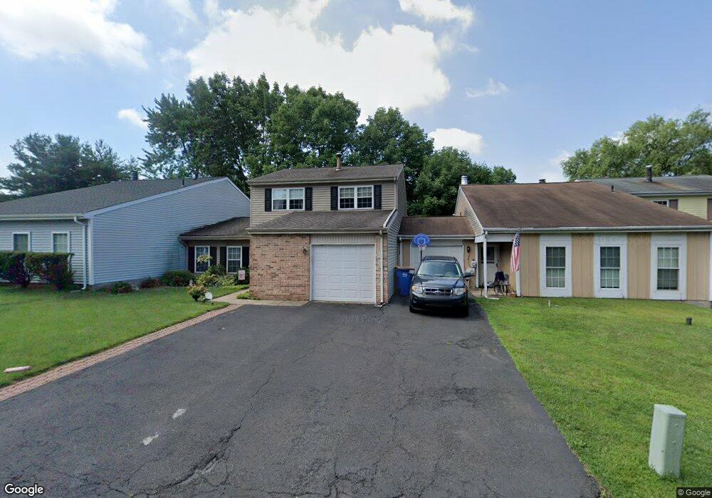
145 Commonwealth Dr Newtown, PA 18940
Estimated Value: $354,000 - $517,000
3
Beds
2
Baths
1,090
Sq Ft
$416/Sq Ft
Est. Value
About This Home
This home is located at 145 Commonwealth Dr, Newtown, PA 18940 and is currently estimated at $453,830, approximately $416 per square foot. 145 Commonwealth Dr is a home located in Bucks County with nearby schools including Goodnoe Elementary School, Newtown Middle School, and Council Rock High School North.
Ownership History
Date
Name
Owned For
Owner Type
Purchase Details
Closed on
Sep 15, 1999
Sold by
Gordon Steve and Gordon Iris Karafin
Bought by
Collins Diane W
Current Estimated Value
Home Financials for this Owner
Home Financials are based on the most recent Mortgage that was taken out on this home.
Original Mortgage
$75,000
Outstanding Balance
$21,467
Interest Rate
7.37%
Estimated Equity
$432,363
Purchase Details
Closed on
Jun 9, 1988
Bought by
Gordon Steven
Create a Home Valuation Report for This Property
The Home Valuation Report is an in-depth analysis detailing your home's value as well as a comparison with similar homes in the area
Home Values in the Area
Average Home Value in this Area
Purchase History
| Date | Buyer | Sale Price | Title Company |
|---|---|---|---|
| Collins Diane W | $140,000 | -- | |
| Gordon Steven | -- | -- |
Source: Public Records
Mortgage History
| Date | Status | Borrower | Loan Amount |
|---|---|---|---|
| Open | Collins Diane W | $75,000 |
Source: Public Records
Tax History
| Year | Tax Paid | Tax Assessment Tax Assessment Total Assessment is a certain percentage of the fair market value that is determined by local assessors to be the total taxable value of land and additions on the property. | Land | Improvement |
|---|---|---|---|---|
| 2025 | $4,578 | $25,760 | $3,520 | $22,240 |
| 2024 | $4,578 | $25,760 | $3,520 | $22,240 |
| 2023 | $4,380 | $25,760 | $3,520 | $22,240 |
| 2022 | $4,295 | $25,760 | $3,520 | $22,240 |
| 2021 | $4,229 | $25,760 | $3,520 | $22,240 |
| 2020 | $4,025 | $25,760 | $3,520 | $22,240 |
| 2019 | $3,930 | $25,760 | $3,520 | $22,240 |
| 2018 | $3,855 | $25,760 | $3,520 | $22,240 |
| 2017 | $3,722 | $25,760 | $3,520 | $22,240 |
| 2016 | -- | $25,760 | $3,520 | $22,240 |
| 2015 | -- | $25,760 | $3,520 | $22,240 |
| 2014 | -- | $25,760 | $3,520 | $22,240 |
Source: Public Records
Map
Nearby Homes
- 144 Leedom Way Unit 31
- 163 Leedom Way Unit 25
- 205 High St
- 41 Ardsley Ct
- 104 Cornell Rd
- 36 Fieldstone Dr
- 27 Seedling Dr
- 54 German Ave
- 810 Diamond Dr Unit 810
- 293 Sydney Rd
- 440 S State St Unit D7
- 111 S State St
- 113 Thorton Ln
- 33 E Park Rd
- 496 Revere Dr Unit 662B
- 1808 Beacon Hill Dr Unit 4
- 32 Skyview Way
- 3476 Coventry Place
- 365 Independence Dr Unit 793A
- 21 S Lincoln Ave Unit 10
- 143 Commonwealth Dr
- 147 Commonwealth Dr
- 141 Commonwealth Dr
- 149 Commonwealth Dr
- 146 Commonwealth Dr
- 185 Commonwealth Dr
- 183 Commonwealth Dr
- 144 Commonwealth Dr
- 150 Commonwealth Dr
- 181 Commonwealth Dr
- 187 Commonwealth Dr
- 142 Commonwealth Dr
- 137 Commonwealth Dr
- 152 Commonwealth Dr
- 140 Commonwealth Dr
- 161 Commonwealth Dr
- 154 Commonwealth Dr
- 135 Commonwealth Dr
- 163 Commonwealth Dr
- 156 Commonwealth Dr
Your Personal Tour Guide
Ask me questions while you tour the home.