145 Darby Rd Covington, GA 30016
Covington AreaEstimated Value: $128,000 - $144,000
About This Home
This home is located at 145 Darby Rd, Covington, GA 30016 and is currently estimated at $133,956, approximately $144 per square foot. 145 Darby Rd is a home located in Newton County with nearby schools including South Salem Elementary School, Liberty Middle School, and Alcovy High School.
Ownership History
We collect this data history from publicly available records. To have your information removed, we recommend requesting removal directly through your county’s website.
Purchase Details
Home Financials for this Owner
Home Financials are based on the most recent Mortgage that was taken out on this home.Purchase Details
Home Financials for this Owner
Home Financials are based on the most recent Mortgage that was taken out on this home.Purchase Details
Purchase Details
Purchase Details
Purchase Details
Purchase Details
Purchase Details
Home Values in the Area
Average Home Value in this Area
Purchase History
We collect this data history from publicly available records. To have your information removed, we recommend requesting removal directly through your county’s website.
| Date | Buyer | Sale Price | Title Company |
|---|---|---|---|
| $36,000 | -- | ||
| -- | -- | ||
| $50,000 | -- | ||
| $84,900 | -- | ||
| -- | -- | ||
| -- | -- | ||
| $41,054 | -- | ||
| $47,500 | -- |
Mortgage History
We collect this data history from publicly available records. To have your information removed, we recommend requesting removal directly through your county’s website.
| Date | Status | Borrower | Loan Amount |
|---|---|---|---|
| Closed | $36,000 | ||
| Previous Owner | $88,350 |
Tax History
We collect this data history from publicly available records. To have your information removed, we recommend requesting removal directly through your county’s website.
| Year | Tax Paid | Tax Assessment Tax Assessment Total Assessment is a certain percentage of the fair market value that is determined by local assessors to be the total taxable value of land and additions on the property. | Land | Improvement |
|---|---|---|---|---|
| 2025 | $867 | $40,800 | $13,000 | $27,800 |
| 2024 | $769 | $34,200 | $7,400 | $26,800 |
| 2023 | $786 | $32,840 | $7,400 | $25,440 |
| 2022 | $594 | $25,760 | $7,400 | $18,360 |
| 2021 | $477 | $19,600 | $7,400 | $12,200 |
| 2020 | $466 | $17,760 | $7,200 | $10,560 |
| 2019 | $474 | $17,800 | $7,200 | $10,600 |
| 2018 | $244 | $18,120 | $7,200 | $10,920 |
| 2017 | $385 | $15,120 | $4,000 | $11,120 |
| 2016 | $358 | $14,320 | $3,200 | $11,120 |
| 2015 | $407 | $11,840 | $3,200 | $8,640 |
| 2014 | $322 | $9,400 | $0 | $0 |
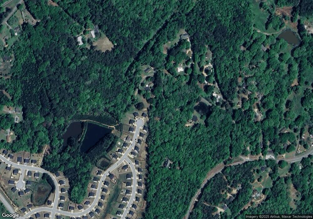
Map
- 210 Blue Heron Way Unit LOT B25
- 125 Darby Rd
- 200 Blue Heron Way Unit Lot B26
- 200 Blue Heron Way Unit B26
- 200 Blue Heron Way
- 205 Blue Heron Way Unit LOT B24
- 190 Blue Heron Way Unit Lot B27
- 195 Blue Heron Way Unit LOT B23
- 185 Blue Heron Way Unit Lot B22
- 180 Blue Heron Way Unit Lot B28
- 55 Darby Rd
- 100 Darby Rd
- 175 Blue Heron Way Unit Lot B21
- 170 Blue Heron Way Unit Lot B29
- 170 Blue Heron Way Unit B29
- 72 Darby Rd
- 165 Blue Heron Way Unit LOT B20
- 160 Blue Heron Way Unit Lot B30
- 580 Highway 162
- 320 Twin Lakes Dr Unit Lot B31
Ask me questions while you tour the home.