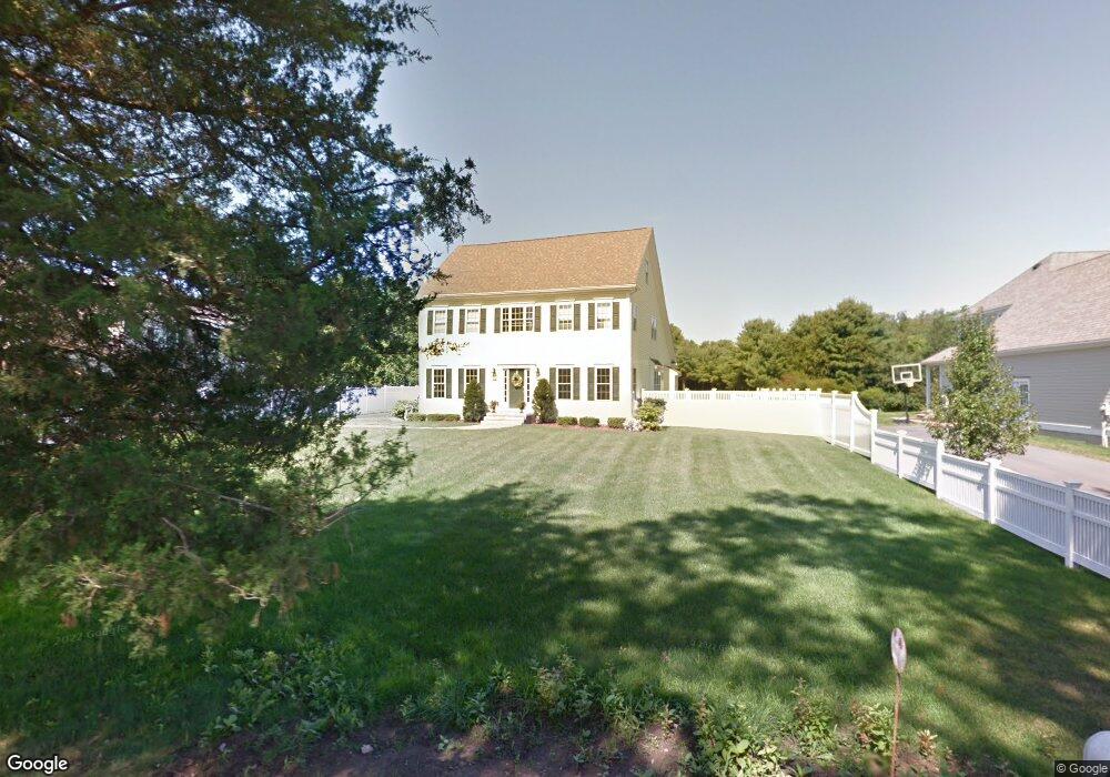
145 Farm St Millis, MA 02054
Estimated Value: $913,749 - $1,160,000
4
Beds
3
Baths
3,000
Sq Ft
$350/Sq Ft
Est. Value
About This Home
This home is located at 145 Farm St, Millis, MA 02054 and is currently estimated at $1,051,437, approximately $350 per square foot. 145 Farm St is a home located in Norfolk County with nearby schools including Clyde F Brown, Millis Middle School, and Millis High School.
Ownership History
Date
Name
Owned For
Owner Type
Purchase Details
Closed on
Aug 29, 2025
Sold by
Dupuy John C and Dupuy Shawn Y
Bought by
Cronin Brian and Cronin Jennifer
Current Estimated Value
Home Financials for this Owner
Home Financials are based on the most recent Mortgage that was taken out on this home.
Original Mortgage
$1,039,384
Outstanding Balance
$1,035,774
Interest Rate
6.75%
Mortgage Type
New Conventional
Estimated Equity
$15,663
Purchase Details
Closed on
Oct 12, 2007
Sold by
Rl Sullivan Constr Inc
Bought by
Dupuy John C and Jackson Shawn Y
Home Financials for this Owner
Home Financials are based on the most recent Mortgage that was taken out on this home.
Original Mortgage
$417,000
Interest Rate
6.49%
Mortgage Type
Purchase Money Mortgage
Purchase Details
Closed on
Jun 16, 2006
Sold by
R L Sullivan Constr In
Bought by
Jarvis Anthony W and Jarvis Elinor F
Create a Home Valuation Report for This Property
The Home Valuation Report is an in-depth analysis detailing your home's value as well as a comparison with similar homes in the area
Home Values in the Area
Average Home Value in this Area
Purchase History
| Date | Buyer | Sale Price | Title Company |
|---|---|---|---|
| Cronin Brian | $1,155,000 | -- | |
| Dupuy John C | $599,900 | -- | |
| Dupuy John C | $599,900 | -- | |
| Dupuy John C | $599,900 | -- | |
| Jarvis Anthony W | $230,000 | -- | |
| R L Sullivan Constr In | $650,000 | -- | |
| Jarvis Anthony W | $230,000 | -- | |
| Jarvis Anthony W | $230,000 | -- |
Source: Public Records
Mortgage History
| Date | Status | Borrower | Loan Amount |
|---|---|---|---|
| Open | Cronin Brian | $1,039,384 | |
| Previous Owner | Jarvis Anthony W | $411,500 | |
| Previous Owner | Jarvis Anthony W | $409,000 | |
| Previous Owner | Dupuy John C | $417,000 |
Source: Public Records
Tax History
| Year | Tax Paid | Tax Assessment Tax Assessment Total Assessment is a certain percentage of the fair market value that is determined by local assessors to be the total taxable value of land and additions on the property. | Land | Improvement |
|---|---|---|---|---|
| 2025 | $13,471 | $821,400 | $197,200 | $624,200 |
| 2024 | $12,985 | $790,800 | $197,200 | $593,600 |
| 2023 | $13,166 | $752,800 | $171,500 | $581,300 |
| 2022 | $12,606 | $667,700 | $168,900 | $498,800 |
| 2021 | $12,757 | $650,200 | $168,900 | $481,300 |
| 2020 | $12,515 | $621,400 | $157,800 | $463,600 |
| 2019 | $11,396 | $609,400 | $149,200 | $460,200 |
| 2018 | $10,738 | $595,900 | $135,700 | $460,200 |
| 2017 | $10,358 | $562,300 | $150,900 | $411,400 |
| 2016 | $9,807 | $562,300 | $150,900 | $411,400 |
| 2015 | $9,559 | $562,300 | $150,900 | $411,400 |
Source: Public Records
Map
Nearby Homes
- 33 Spencer St
- 60 Spencer St
- 2 Country Village Way Unit 2
- 50 Main St
- 1 Granite Dr
- 23 North St
- 33 Gorwin Dr
- 20 Broad St Unit 1
- 20 Broad St Unit 6
- 20 Broad St Unit A
- 20 Broad St Unit 4
- 2 Sandstone Ln
- 227 Village St
- 10 April Way
- 6 April Way
- 14 Sanford St Unit 15
- 22 May Rd
- 204 Village St
- 40 Lakeshore Dr
- 10 Prospect St