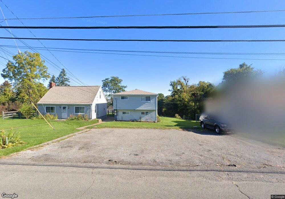
145 Foxwood Rd Unit 147 Coraopolis, PA 15108
Estimated Value: $183,000 - $252,182
3
Beds
3
Baths
1,248
Sq Ft
$183/Sq Ft
Est. Value
About This Home
This home is located at 145 Foxwood Rd Unit 147, Coraopolis, PA 15108 and is currently estimated at $228,546, approximately $183 per square foot. 145 Foxwood Rd Unit 147 is a home located in Allegheny County with nearby schools including Moon Area High School, Montessori Children's Community, and St James Elementary School.
Ownership History
Date
Name
Owned For
Owner Type
Purchase Details
Closed on
Mar 29, 2017
Sold by
Simmons Misiuda Carla and Misiuda John
Bought by
Hughes Samantha M and Hughes Michael P
Current Estimated Value
Home Financials for this Owner
Home Financials are based on the most recent Mortgage that was taken out on this home.
Original Mortgage
$160,538
Outstanding Balance
$134,638
Interest Rate
4.5%
Mortgage Type
FHA
Estimated Equity
$93,908
Purchase Details
Closed on
Nov 29, 2006
Sold by
Smay Greg
Bought by
Klanica Adam T
Home Financials for this Owner
Home Financials are based on the most recent Mortgage that was taken out on this home.
Original Mortgage
$130,630
Interest Rate
6.36%
Mortgage Type
FHA
Purchase Details
Closed on
Jul 30, 2001
Sold by
Schmitt Robert F and Schmitt Kimberly
Bought by
Smay Greg
Create a Home Valuation Report for This Property
The Home Valuation Report is an in-depth analysis detailing your home's value as well as a comparison with similar homes in the area
Home Values in the Area
Average Home Value in this Area
Purchase History
| Date | Buyer | Sale Price | Title Company |
|---|---|---|---|
| Hughes Samantha M | $163,500 | Pennsylvania Land Titles | |
| Klanica Adam T | $131,700 | -- | |
| Smay Greg | $124,500 | -- |
Source: Public Records
Mortgage History
| Date | Status | Borrower | Loan Amount |
|---|---|---|---|
| Open | Hughes Samantha M | $160,538 | |
| Previous Owner | Klanica Adam T | $130,630 |
Source: Public Records
Tax History Compared to Growth
Tax History
| Year | Tax Paid | Tax Assessment Tax Assessment Total Assessment is a certain percentage of the fair market value that is determined by local assessors to be the total taxable value of land and additions on the property. | Land | Improvement |
|---|---|---|---|---|
| 2025 | $3,751 | $120,000 | $35,600 | $84,400 |
| 2024 | $3,751 | $120,000 | $35,600 | $84,400 |
| 2023 | $3,617 | $120,000 | $35,600 | $84,400 |
| 2022 | $3,617 | $120,000 | $35,600 | $84,400 |
| 2021 | $3,617 | $120,000 | $35,600 | $84,400 |
| 2020 | $3,527 | $120,000 | $35,600 | $84,400 |
| 2019 | $3,430 | $120,000 | $35,600 | $84,400 |
| 2018 | $568 | $120,000 | $35,600 | $84,400 |
| 2017 | $3,243 | $120,000 | $35,600 | $84,400 |
| 2016 | $568 | $120,000 | $35,600 | $84,400 |
| 2015 | $568 | $120,000 | $35,600 | $84,400 |
| 2014 | $3,158 | $120,000 | $35,600 | $84,400 |
Source: Public Records
Map
Nearby Homes
- 506 Isabella Ct
- 209 Lockheed Dr
- 135 Pear Orchard Rd
- 713 Ravenshire Ct
- 176 Lockheed Dr
- 182 Lockheed Dr
- 108 Shippen Dr
- 631 Forest Green Dr
- 1333 Forest Green Dr Unit 1333
- 611 Forest Green Dr
- 511 Forest Green Dr
- 335 Forest Green Dr
- 333 Forest Green Unit 333
- 124 Forest Green Dr
- 113 Forest Green Dr Unit 113
- 302 Mckinney Dr
- 430 Amherst Ave
- 140 S Patton Dr
- 121 Shelbourne Dr
- 129 Wyngate Rd