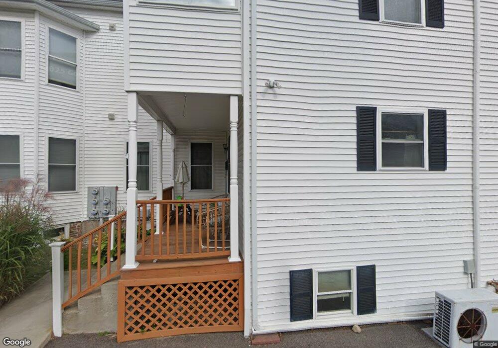
145 High St Unit D Westerly, RI 02891
Estimated Value: $342,000 - $436,000
3
Beds
2
Baths
2,208
Sq Ft
$184/Sq Ft
Est. Value
About This Home
This home is located at 145 High St Unit D, Westerly, RI 02891 and is currently estimated at $405,712, approximately $183 per square foot. 145 High St Unit D is a home located in Washington County with nearby schools including Westerly High School and St. Michael School.
Ownership History
Date
Name
Owned For
Owner Type
Purchase Details
Closed on
Apr 7, 2021
Sold by
Gamache Thomas A and Gamache Bridget A
Bought by
Koudela Jan and Koudela Iva
Current Estimated Value
Purchase Details
Closed on
Jul 24, 2017
Sold by
Smith Michael D and Dodson Mistral N
Bought by
Gamache Thomas A and Gamache Bridget A
Home Financials for this Owner
Home Financials are based on the most recent Mortgage that was taken out on this home.
Original Mortgage
$189,000
Interest Rate
3.89%
Mortgage Type
FHA
Purchase Details
Closed on
Mar 5, 2013
Sold by
Gougon Jaclyn and Foss David C
Bought by
Dodson Mistral N and Smith Michael D
Home Financials for this Owner
Home Financials are based on the most recent Mortgage that was taken out on this home.
Original Mortgage
$98,320
Interest Rate
3.43%
Mortgage Type
New Conventional
Create a Home Valuation Report for This Property
The Home Valuation Report is an in-depth analysis detailing your home's value as well as a comparison with similar homes in the area
Home Values in the Area
Average Home Value in this Area
Purchase History
| Date | Buyer | Sale Price | Title Company |
|---|---|---|---|
| Koudela Jan | $246,500 | None Available | |
| Gamache Thomas A | $189,000 | -- | |
| Dodson Mistral N | $122,900 | -- |
Source: Public Records
Mortgage History
| Date | Status | Borrower | Loan Amount |
|---|---|---|---|
| Previous Owner | Gamache Thomas A | $189,000 | |
| Previous Owner | Dodson Mistral N | $98,320 |
Source: Public Records
Tax History
| Year | Tax Paid | Tax Assessment Tax Assessment Total Assessment is a certain percentage of the fair market value that is determined by local assessors to be the total taxable value of land and additions on the property. | Land | Improvement |
|---|---|---|---|---|
| 2025 | $1,929 | $247,900 | $0 | $247,900 |
| 2024 | $2,046 | $195,800 | $0 | $195,800 |
| 2023 | $1,989 | $195,800 | $0 | $195,800 |
| 2022 | $1,978 | $195,800 | $0 | $195,800 |
| 2021 | $2,302 | $190,900 | $0 | $190,900 |
| 2020 | $2,262 | $190,900 | $0 | $190,900 |
| 2019 | $2,241 | $190,900 | $0 | $190,900 |
| 2018 | $2,324 | $188,200 | $0 | $188,200 |
| 2017 | $2,258 | $188,200 | $0 | $188,200 |
| 2016 | $2,258 | $188,200 | $0 | $188,200 |
| 2015 | $2,193 | $195,300 | $0 | $195,300 |
| 2014 | $2,158 | $195,300 | $0 | $195,300 |
Source: Public Records
Map
Nearby Homes
- 145 High St Unit B
- 145 High St Unit D
- 145 High St Unit C
- 145 High St Unit A
- 145 High St Unit 102
- 145 High St Unit 202
- 145 High St Unit B
- 145 High St Unit C
- 145 High St Unit 201
- 145 High St Unit 145B
- 145 - C High St Unit C
- 143 High St Unit 143B
- 143 High St Unit A
- 143 High St Unit 103
- 143 High St Unit 203
- 143 High St
- 143 High St Unit 1
- 141 High St
- 141 High St Unit A
- 141 High St Unit B
Your Personal Tour Guide
Ask me questions while you tour the home.