145 Hunter Hack Trail Campobello, SC 29322
Estimated Value: $826,000 - $1,256,081
5
Beds
6
Baths
4,541
Sq Ft
$222/Sq Ft
Est. Value
About This Home
This home is located at 145 Hunter Hack Trail, Campobello, SC 29322 and is currently estimated at $1,009,770, approximately $222 per square foot. 145 Hunter Hack Trail is a home located in Spartanburg County with nearby schools including Holly Springs-Motlow Elementary School, T.E. Mabry Middle School, and Chapman High School.
Ownership History
Date
Name
Owned For
Owner Type
Purchase Details
Closed on
Jan 29, 2007
Sold by
Cann Gary and Cann Cindy
Bought by
Clyborne H Howell and Clyborne Joan M
Current Estimated Value
Purchase Details
Closed on
Apr 8, 2004
Sold by
Hannold Randolph P
Bought by
Cann Gary and Cann Cindy
Purchase Details
Closed on
Aug 27, 2001
Sold by
Cockman James D
Bought by
Hannold Randolph P
Purchase Details
Closed on
Nov 9, 2000
Sold by
Central Carolina Bank & Trust Company
Bought by
Cockman James D
Create a Home Valuation Report for This Property
The Home Valuation Report is an in-depth analysis detailing your home's value as well as a comparison with similar homes in the area
Home Values in the Area
Average Home Value in this Area
Purchase History
| Date | Buyer | Sale Price | Title Company |
|---|---|---|---|
| Clyborne H Howell | $205,500 | None Available | |
| Cann Gary | $154,900 | -- | |
| Hannold Randolph P | $128,875 | -- | |
| Cockman James D | $87,635 | -- |
Source: Public Records
Tax History Compared to Growth
Tax History
| Year | Tax Paid | Tax Assessment Tax Assessment Total Assessment is a certain percentage of the fair market value that is determined by local assessors to be the total taxable value of land and additions on the property. | Land | Improvement |
|---|---|---|---|---|
| 2025 | $4,321 | $24,508 | $1,354 | $23,154 |
| 2024 | $4,321 | $24,508 | $1,354 | $23,154 |
| 2023 | $4,321 | $24,508 | $1,354 | $23,154 |
| 2022 | $4,098 | $21,313 | $1,213 | $20,100 |
| 2021 | $4,060 | $21,313 | $1,213 | $20,100 |
| 2020 | $4,027 | $21,313 | $1,213 | $20,100 |
| 2019 | $4,004 | $21,313 | $1,213 | $20,100 |
| 2018 | $3,963 | $21,313 | $1,213 | $20,100 |
| 2017 | $3,680 | $19,829 | $1,013 | $18,816 |
| 2016 | $3,680 | $19,829 | $1,013 | $18,816 |
| 2015 | $3,666 | $19,829 | $1,013 | $18,816 |
| 2014 | $3,647 | $19,829 | $1,013 | $18,816 |
Source: Public Records
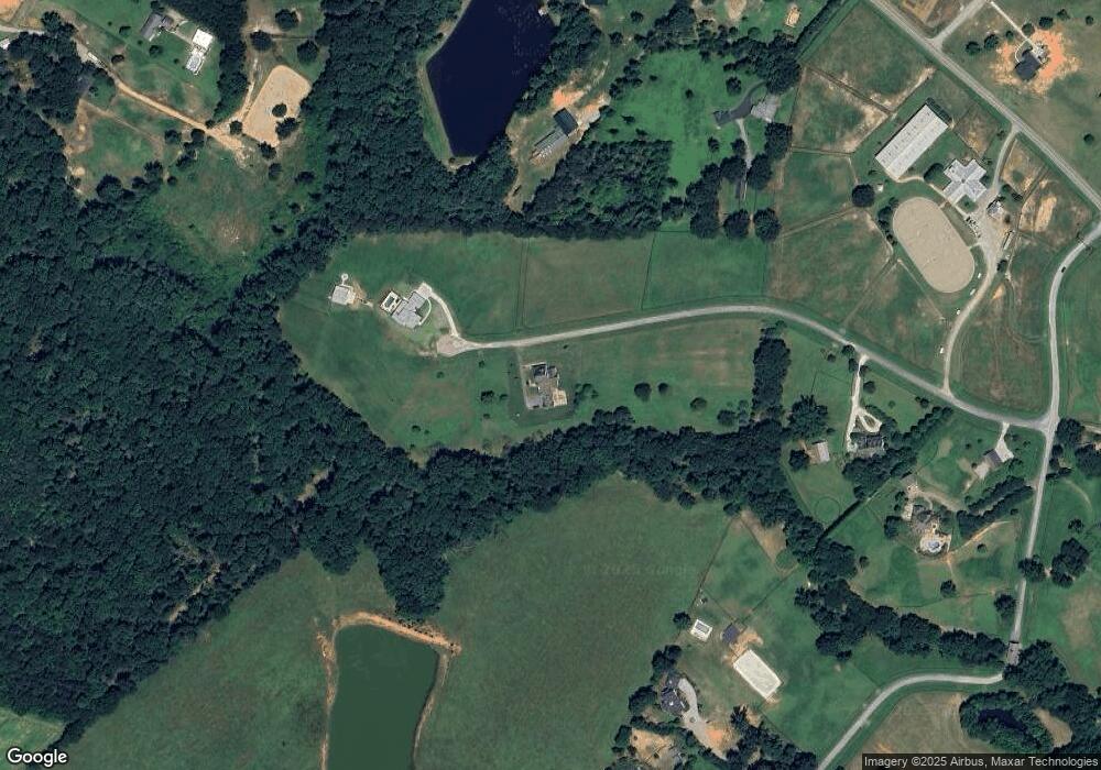
Map
Nearby Homes
- 10065 New Cut Rd
- 10490 New Cut Rd
- 128 Goodjoin Rd
- Bristol Plan at Alder Pond
- Carrington Plan at Alder Pond
- Crestone Plan at Alder Pond
- Pennington B Plan at Alder Pond
- Vail Plan at Alder Pond
- Kennedy Plan at Alder Pond
- Oakland Plan at Alder Pond
- Oakland B Plan at Alder Pond
- 1325 Wellton Place
- 350 Royal Burgess Dr
- 1 Carnoustie Ct
- 1321 Wellton Place
- 203 Muirfield Dr
- 1241 Clearbrook Ln
- Whitney Plan at Weston
- Mediterranean Plan at Weston
- Emilia Plan at Weston
- 142 Hunter Hack Trail
- 150 Hunter Hack Trail
- 125 Hunter Hack Trail
- 242 Stable Gate Dr
- 224 Stable Gate Dr
- 10035 New Cut Rd
- 250 Stable Gate Dr
- 10115 New Cut Rd
- 10085 New Cut Rd
- 10109 New Cut Rd
- 00 New Cut Rd
- 258 Stable Gate Dr
- 0 Stable Gate Dr
- 1245 Macedonia Church Rd
- 233 Stable Gate Dr
- 266 Stable Gate Dr
- 10130 New Cut Rd
- 225 Stable Gate Dr
- 10155 New Cut Rd
- 10180 New Cut Rd