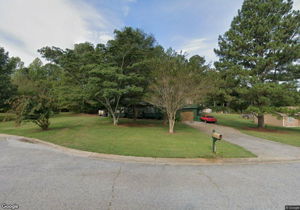
145 James Ct Unit 2 Palmetto, GA 30268
Estimated Value: $278,000 - $291,000
4
Beds
3
Baths
1,830
Sq Ft
$155/Sq Ft
Est. Value
About This Home
This home is located at 145 James Ct Unit 2, Palmetto, GA 30268 and is currently estimated at $283,463, approximately $154 per square foot. 145 James Ct Unit 2 is a home located in Fulton County with nearby schools including Palmetto Elementary School, Bear Creek Middle School, and Creekside High School.
Ownership History
Date
Name
Owned For
Owner Type
Purchase Details
Closed on
Dec 29, 2000
Sold by
Maiian Martha and Maiian Juniel
Bought by
Bailey Joseph C and Bailey Deborah D
Current Estimated Value
Home Financials for this Owner
Home Financials are based on the most recent Mortgage that was taken out on this home.
Original Mortgage
$98,940
Interest Rate
6.98%
Mortgage Type
New Conventional
Purchase Details
Closed on
Jul 1, 1997
Sold by
Mcdowell Const Co Inc
Bought by
Mahan Juniel and Mahan Martha
Home Financials for this Owner
Home Financials are based on the most recent Mortgage that was taken out on this home.
Original Mortgage
$82,900
Interest Rate
7.5%
Mortgage Type
New Conventional
Create a Home Valuation Report for This Property
The Home Valuation Report is an in-depth analysis detailing your home's value as well as a comparison with similar homes in the area
Home Values in the Area
Average Home Value in this Area
Purchase History
| Date | Buyer | Sale Price | Title Company |
|---|---|---|---|
| Bailey Joseph C | $102,000 | -- | |
| Mahan Juniel | $87,900 | -- |
Source: Public Records
Mortgage History
| Date | Status | Borrower | Loan Amount |
|---|---|---|---|
| Previous Owner | Bailey Joseph C | $98,940 | |
| Previous Owner | Mahan Juniel | $82,900 |
Source: Public Records
Tax History Compared to Growth
Tax History
| Year | Tax Paid | Tax Assessment Tax Assessment Total Assessment is a certain percentage of the fair market value that is determined by local assessors to be the total taxable value of land and additions on the property. | Land | Improvement |
|---|---|---|---|---|
| 2025 | $780 | $93,240 | $22,760 | $70,480 |
| 2023 | $2,632 | $93,240 | $22,760 | $70,480 |
| 2022 | $1,126 | $68,920 | $13,520 | $55,400 |
| 2021 | $966 | $51,040 | $8,280 | $42,760 |
| 2020 | $969 | $50,440 | $8,200 | $42,240 |
| 2019 | $949 | $49,560 | $8,040 | $41,520 |
| 2018 | $1,023 | $48,360 | $7,840 | $40,520 |
| 2017 | $878 | $42,040 | $9,320 | $32,720 |
| 2016 | $876 | $42,040 | $9,320 | $32,720 |
| 2015 | $880 | $42,040 | $9,320 | $32,720 |
| 2014 | $464 | $26,560 | $5,880 | $20,680 |
Source: Public Records
Map
Nearby Homes
- 135 Church St
- 518 Toombs St
- 205 Cobb St
- 504 Snowfall Terrace
- 512 Bradley Dr
- 0 Tommy Lee Cook Rd Unit 7623171
- 9311 Waterworks Rd
- 649 Carlton Pointe Dr
- 649 Carlton Pointe Dr Unit 15
- 667 Carlton Pointe Dr
- 596 Carlton Rd
- 205 Cranford St
- 531 Carlton Rd Unit 1
- 516 Wild Cherry Ct
- 207 Hill St
- 215 Sims St
- 212 Sims St
- 215 Forrest Run
- 8391 Columbia Ct Unit LOT 5
- 8393 Columbia Ct
- 135 James Ct
- 155 James Ct Unit 2
- 240 Anna Ave Unit 3
- 230 Anna Ave
- 250 Anna Ave
- 150 James Ct
- 160 James Ct
- 140 James Ct Unit 2
- 125 James Ct Unit 2
- 220 Anna Ave
- 270 Anna Ave
- 260 Anna Ave Unit 3
- 280 Anna Ave Unit 3
- 130 James Ct Unit 2
- 245 Anna Ave Unit 3
- 320 Anna Ave Unit 1
- 115 James Ct Unit 2
- 290 Anna Ave Unit 3
- 235 Anna Ave Unit 3
- 330 Anna Ave