145 Keith Hill Rd South Grafton, MA 01560
Estimated Value: $583,000 - $812,000
3
Beds
4
Baths
2,305
Sq Ft
$298/Sq Ft
Est. Value
About This Home
This home is located at 145 Keith Hill Rd, South Grafton, MA 01560 and is currently estimated at $686,174, approximately $297 per square foot. 145 Keith Hill Rd is a home located in Worcester County with nearby schools including Grafton High School, Silver Spruce Montessori School, and Touchstone Community School.
Ownership History
Date
Name
Owned For
Owner Type
Purchase Details
Closed on
Sep 13, 1996
Sold by
Perelli W Vincent and Mccarthy Patricia
Bought by
Bailey Joanne and Bailey John
Current Estimated Value
Home Financials for this Owner
Home Financials are based on the most recent Mortgage that was taken out on this home.
Original Mortgage
$90,000
Interest Rate
8.18%
Mortgage Type
Purchase Money Mortgage
Purchase Details
Closed on
Sep 30, 1991
Sold by
Fitzgerald Richard and Fitzgerald Jean M
Bought by
Perrelli W Vincent and Breslin Patricia
Create a Home Valuation Report for This Property
The Home Valuation Report is an in-depth analysis detailing your home's value as well as a comparison with similar homes in the area
Home Values in the Area
Average Home Value in this Area
Purchase History
| Date | Buyer | Sale Price | Title Company |
|---|---|---|---|
| Bailey Joanne | $175,000 | -- | |
| Bailey Joanne | $175,000 | -- | |
| Perrelli W Vincent | $189,900 | -- | |
| Breslin Perrelli W | $189,900 | -- |
Source: Public Records
Mortgage History
| Date | Status | Borrower | Loan Amount |
|---|---|---|---|
| Open | Breslin Perrelli W | $114,500 | |
| Closed | Breslin Perrelli W | $90,000 |
Source: Public Records
Tax History Compared to Growth
Tax History
| Year | Tax Paid | Tax Assessment Tax Assessment Total Assessment is a certain percentage of the fair market value that is determined by local assessors to be the total taxable value of land and additions on the property. | Land | Improvement |
|---|---|---|---|---|
| 2025 | $7,907 | $567,200 | $187,900 | $379,300 |
| 2024 | $7,739 | $540,800 | $179,000 | $361,800 |
| 2023 | $7,315 | $465,600 | $179,000 | $286,600 |
| 2022 | $7,397 | $438,200 | $153,700 | $284,500 |
| 2021 | $7,310 | $425,500 | $139,800 | $285,700 |
| 2020 | $6,940 | $420,600 | $139,800 | $280,800 |
| 2019 | $6,534 | $392,200 | $135,700 | $256,500 |
| 2018 | $5,886 | $354,800 | $135,600 | $219,200 |
| 2017 | $5,748 | $350,500 | $129,400 | $221,100 |
| 2016 | $5,129 | $306,200 | $115,200 | $191,000 |
| 2015 | $4,978 | $301,700 | $108,500 | $193,200 |
| 2014 | $4,810 | $315,200 | $133,600 | $181,600 |
Source: Public Records
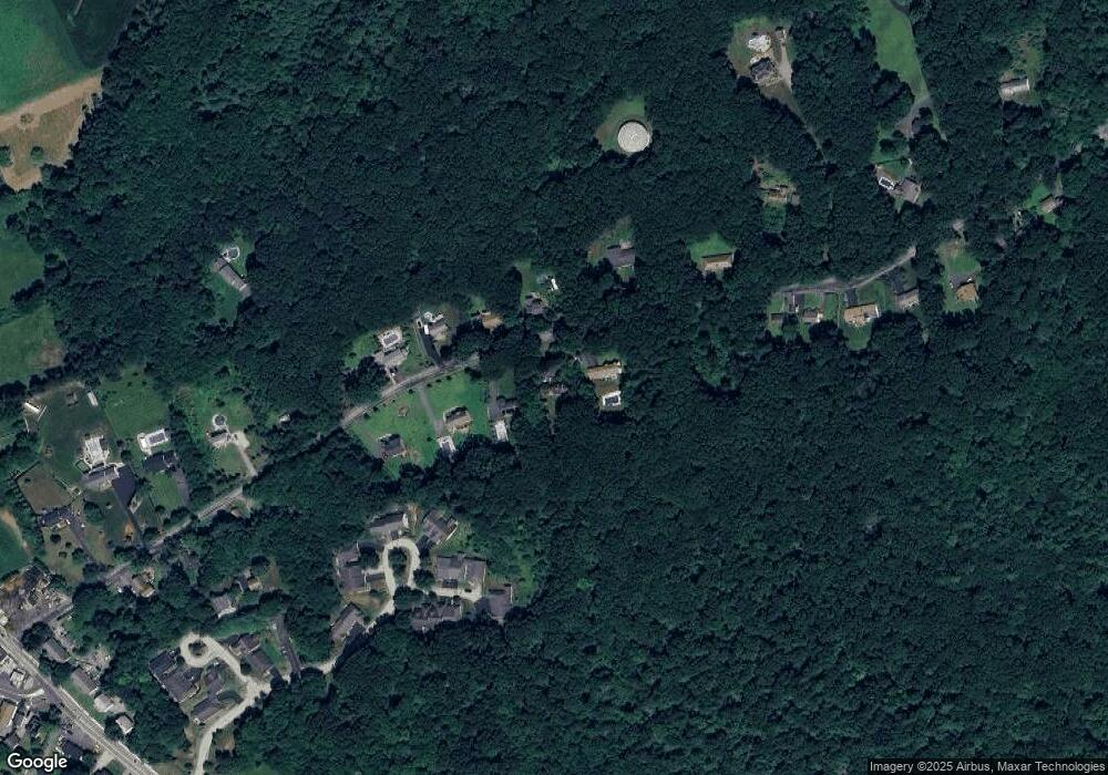
Map
Nearby Homes
- 29 Sampson St Unit 29
- 19 Milford Rd
- 395 Providence Rd Unit 4
- 44 Fisherville Terrace
- 58 Fisherville Terrace
- 55 Fisherville Terrace
- 150 Sprague St
- 86 Mikes Way Unit 86
- 84 Mikes Way Unit 84
- 110 Main St
- 109 Main St
- 151 Providence Rd Unit 24
- 2767 Providence Rd
- 7 Pine Hill Rd
- 191 Hartness Rd
- 58 Buttercup Ln
- 13 Pullard Rd Unit 38
- 18 Leland St
- 70 Londonderry Rd
- 29 Pullard Rd
- 149 Keith Hill Rd
- 143 Keith Hill Rd
- 161 Keith Hill Rd
- 146 Keith Hill Rd
- 148 Keith Hill Rd
- 150 Keith Hill Rd
- 152 Keith Hill Rd
- 142 Keith Hill Rd
- 163 Keith Hill Rd
- 154 Keith Hill Rd
- 138 Keith Hill Rd
- 133 Keith Hill Rd
- 131 Keith Hill Rd
- 12 Summerfield Dr
- 14 Summerfield Dr
- 16 Summerfield Dr
- 18 Summerfield Dr
- 20 Summerfield Dr
- 22 Summerfield Dr
- 24 Summerfield Dr