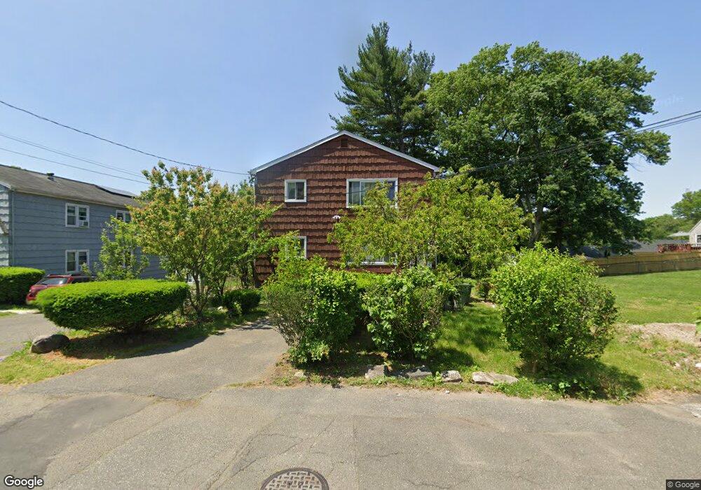
145 Lansing St Unit 147 Bridgeport, CT 06606
Reservoir-Whiskey Hill NeighborhoodEstimated Value: $476,996 - $576,000
6
Beds
4
Baths
2,496
Sq Ft
$210/Sq Ft
Est. Value
About This Home
This home is located at 145 Lansing St Unit 147, Bridgeport, CT 06606 and is currently estimated at $524,249, approximately $210 per square foot. 145 Lansing St Unit 147 is a home located in Fairfield County with nearby schools including Hallen School, Central High School, and Northeastern Adventist Academy - Fairfield County.
Ownership History
Date
Name
Owned For
Owner Type
Purchase Details
Closed on
Dec 5, 1997
Sold by
Wh & B Lp
Bought by
Hibbert Leca C
Current Estimated Value
Home Financials for this Owner
Home Financials are based on the most recent Mortgage that was taken out on this home.
Original Mortgage
$90,500
Interest Rate
7.28%
Mortgage Type
Unknown
Purchase Details
Closed on
Aug 28, 1997
Sold by
Framularo Angelo
Bought by
Wh & B Lp
Create a Home Valuation Report for This Property
The Home Valuation Report is an in-depth analysis detailing your home's value as well as a comparison with similar homes in the area
Home Values in the Area
Average Home Value in this Area
Purchase History
| Date | Buyer | Sale Price | Title Company |
|---|---|---|---|
| Hibbert Leca C | $92,000 | -- | |
| Hibbert Leca C | $92,000 | -- | |
| Wh & B Lp | $255,000 | -- | |
| Wh & B Lp | $255,000 | -- |
Source: Public Records
Mortgage History
| Date | Status | Borrower | Loan Amount |
|---|---|---|---|
| Open | Wh & B Lp | $195,000 | |
| Closed | Wh & B Lp | $90,500 | |
| Closed | Wh & B Lp | $8,100 |
Source: Public Records
Tax History Compared to Growth
Tax History
| Year | Tax Paid | Tax Assessment Tax Assessment Total Assessment is a certain percentage of the fair market value that is determined by local assessors to be the total taxable value of land and additions on the property. | Land | Improvement |
|---|---|---|---|---|
| 2025 | $8,683 | $199,830 | $66,110 | $133,720 |
| 2024 | $8,683 | $199,830 | $66,110 | $133,720 |
| 2023 | $8,683 | $199,830 | $66,110 | $133,720 |
| 2022 | $8,683 | $199,830 | $66,110 | $133,720 |
| 2021 | $8,683 | $199,830 | $66,110 | $133,720 |
| 2020 | $7,960 | $147,440 | $38,050 | $109,390 |
| 2019 | $7,960 | $147,440 | $38,050 | $109,390 |
| 2018 | $8,016 | $147,440 | $38,050 | $109,390 |
| 2017 | $8,016 | $147,440 | $38,050 | $109,390 |
| 2016 | $8,016 | $147,440 | $38,050 | $109,390 |
| 2015 | $8,397 | $198,980 | $43,630 | $155,350 |
| 2014 | $8,397 | $198,980 | $43,630 | $155,350 |
Source: Public Records
Map
Nearby Homes
- 36 Platt St
- 717 Reservoir Ave
- 705 Reservoir Ave
- 7 Stone Ridge Rd
- 410 Alba Ave
- 285 Alba Ave
- 165 Yaremich Dr
- 26 Karen Ct Unit A
- 438 Soundview Ave
- 365 Platt St
- 181 Cityview Ave
- 130 Wilkins Ave
- 110 Wilkins Ave
- 28 Wilkins Ave
- 45 Polk St
- 1053 Sylvan Ave
- 769 Sylvan Ave Unit 16
- 769 Sylvan Ave Unit 13
- 500 Woodlawn Avenue Extension
- 15 Edwards St