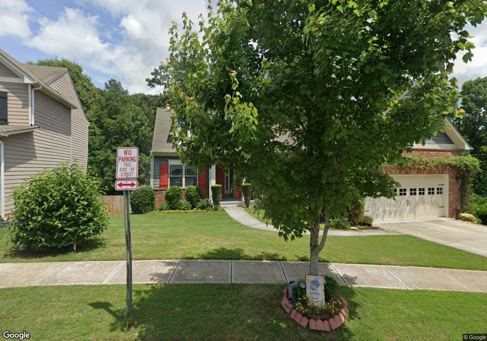
145 Manous Dr Canton, GA 30115
Estimated Value: $456,252 - $465,000
3
Beds
2
Baths
2,584
Sq Ft
$178/Sq Ft
Est. Value
About This Home
This home is located at 145 Manous Dr, Canton, GA 30115 and is currently estimated at $460,626, approximately $178 per square foot. 145 Manous Dr is a home located in Cherokee County with nearby schools including Holly Springs Elementary School, Rusk Middle School, and Sequoyah High School.
Ownership History
Date
Name
Owned For
Owner Type
Purchase Details
Closed on
Jul 1, 2022
Sold by
Morneault Philip
Bought by
Morneault Philip and Morneault Aaron Jewell
Current Estimated Value
Purchase Details
Closed on
Dec 12, 2013
Sold by
Kerley Family Homes At Hr
Bought by
Morneault Philip and Morneault Sabra J
Purchase Details
Closed on
Jul 20, 2012
Sold by
Federal Deposit Insurance Corporation
Bought by
Community & Southern Bank
Create a Home Valuation Report for This Property
The Home Valuation Report is an in-depth analysis detailing your home's value as well as a comparison with similar homes in the area
Home Values in the Area
Average Home Value in this Area
Purchase History
| Date | Buyer | Sale Price | Title Company |
|---|---|---|---|
| Morneault Philip | -- | -- | |
| Morneault Philip | $209,879 | -- | |
| Community & Southern Bank | -- | -- |
Source: Public Records
Tax History Compared to Growth
Tax History
| Year | Tax Paid | Tax Assessment Tax Assessment Total Assessment is a certain percentage of the fair market value that is determined by local assessors to be the total taxable value of land and additions on the property. | Land | Improvement |
|---|---|---|---|---|
| 2025 | $4,725 | $188,400 | $36,000 | $152,400 |
| 2024 | $1,254 | $169,360 | $34,000 | $135,360 |
| 2023 | $1,219 | $167,440 | $29,600 | $137,840 |
| 2022 | $921 | $152,760 | $24,800 | $127,960 |
| 2021 | $435 | $128,160 | $23,200 | $104,960 |
| 2020 | $862 | $115,800 | $20,800 | $95,000 |
| 2019 | $431 | $107,800 | $19,600 | $88,200 |
| 2018 | $829 | $102,120 | $18,800 | $83,320 |
| 2017 | $786 | $237,300 | $17,600 | $77,320 |
| 2016 | $461 | $226,500 | $16,800 | $73,800 |
| 2015 | $469 | $209,200 | $15,200 | $68,480 |
| 2014 | $426 | $175,700 | $15,200 | $55,080 |
Source: Public Records
Map
Nearby Homes
- 143 Manous Dr
- 141 Manous Dr Unit 35
- 141 Manous Dr
- 237 Manous Way
- 235 Manous Way
- 139 Manous Dr
- 233 Manous Way
- 137 Manous Dr
- 0 Manous Way Unit 8546592
- 0 Manous Way Unit 8459086
- 0 Manous Way Unit 8605659
- 0 Manous Way Unit 8840473
- 0 Manous Way Unit 8474805
- 0 Manous Way Unit 8972622
- 0 Manous Way Unit 8808913
- 0 Manous Way Unit 3058803
- 0 Manous Way Unit 7045719
- 244 Manous Way Unit 23
- 244 Manous Way
- 247 Manous Way