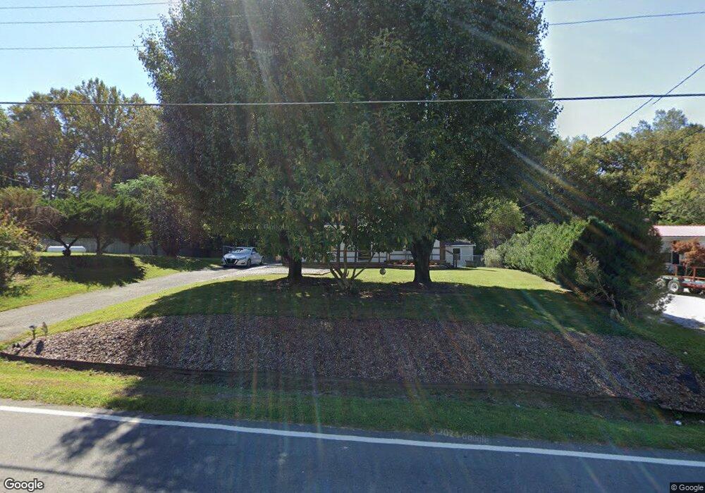
145 Mcbride Rd Mount Airy, NC 27030
Estimated Value: $145,000 - $170,916
2
Beds
1
Bath
1,008
Sq Ft
$157/Sq Ft
Est. Value
About This Home
This home is located at 145 Mcbride Rd, Mount Airy, NC 27030 and is currently estimated at $158,229, approximately $156 per square foot. 145 Mcbride Rd is a home located in Surry County with nearby schools including Flat Rock Elementary School, Meadowview Magnet Middle School, and North Surry High School.
Ownership History
Date
Name
Owned For
Owner Type
Purchase Details
Closed on
Mar 16, 2006
Sold by
Noez Properties Llc
Bought by
Shockley Bonnie S
Current Estimated Value
Home Financials for this Owner
Home Financials are based on the most recent Mortgage that was taken out on this home.
Original Mortgage
$50,575
Outstanding Balance
$28,455
Interest Rate
6.19%
Mortgage Type
FHA
Estimated Equity
$129,774
Purchase Details
Closed on
Mar 23, 2005
Sold by
Hall Christopher T and Bowman Crystal Lynn
Bought by
Secretary Of Housing & Urban Development
Purchase Details
Closed on
Dec 1, 2000
Purchase Details
Closed on
Dec 1, 1992
Create a Home Valuation Report for This Property
The Home Valuation Report is an in-depth analysis detailing your home's value as well as a comparison with similar homes in the area
Home Values in the Area
Average Home Value in this Area
Purchase History
| Date | Buyer | Sale Price | Title Company |
|---|---|---|---|
| Shockley Bonnie S | $59,500 | None Available | |
| Secretary Of Housing & Urban Development | $61,293 | None Available | |
| -- | $56,000 | -- | |
| -- | $35,000 | -- |
Source: Public Records
Mortgage History
| Date | Status | Borrower | Loan Amount |
|---|---|---|---|
| Open | Shockley Bonnie S | $50,575 |
Source: Public Records
Tax History Compared to Growth
Tax History
| Year | Tax Paid | Tax Assessment Tax Assessment Total Assessment is a certain percentage of the fair market value that is determined by local assessors to be the total taxable value of land and additions on the property. | Land | Improvement |
|---|---|---|---|---|
| 2025 | $555 | $102,450 | $10,800 | $91,650 |
| 2024 | $504 | $68,430 | $9,000 | $59,430 |
| 2023 | $496 | $68,430 | $9,000 | $59,430 |
| 2022 | $496 | $68,430 | $9,000 | $59,430 |
| 2021 | $504 | $68,430 | $9,000 | $59,430 |
| 2020 | $461 | $59,740 | $9,000 | $50,740 |
| 2019 | $458 | $59,740 | $0 | $0 |
| 2018 | $451 | $59,740 | $0 | $0 |
| 2017 | $448 | $59,740 | $0 | $0 |
| 2016 | $443 | $59,740 | $0 | $0 |
| 2013 | -- | $59,630 | $0 | $0 |
Source: Public Records
Map
Nearby Homes
- 280 Burke Rd
- 00 Paynetown Rd
- 845 Linville Rd
- 335 Badgett Ave
- 663 Mcbride Rd
- 1769 Inglebrook Trail
- 607 Riverside Dr
- 2155 Margaret Dr
- 2384 Westfield Rd
- 1694 Woodbury Ln
- 2326 Westfield Rd
- 2183 Westfield Rd
- 0 NE Pine St
- 00 Jackson Rd Unit 8.64 Ac
- xx 44.93 Acres Stardust Trail
- 2638 Riverside Dr
- 344 Linville Rd
- 1816 Gwyn St
- 234 Hylton St
- 316 Linville Rd
- 131 Mcbride Rd
- 154 Mcbride Rd
- 117 Mcbride Rd
- 160 Mcbride Rd
- 179 Mcbride Rd
- 1451 E Pine St
- 114 Intrigue Ln
- 1503 E Pine St
- 1467 E Pine St
- 191 Mcbride Rd
- 192 Mcbride Rd
- 1447 E Pine St
- 1490 E Pine St
- 1474 E Pine St
- 1439 E Pine St
- 1464 E Pine St
- 1506 E Pine St
- 1516 E Pine St
- 1460 E Pine St
- 1450 E Pine St