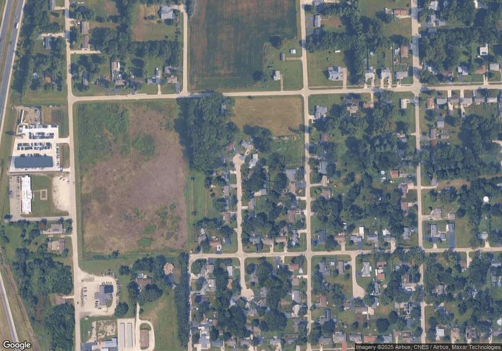
145 N Countryside Ct Braidwood, IL 60408
Estimated Value: $195,501 - $273,000
3
Beds
--
Bath
--
Sq Ft
0.26
Acres
About This Home
This home is located at 145 N Countryside Ct, Braidwood, IL 60408 and is currently estimated at $245,125. 145 N Countryside Ct is a home located in Will County with nearby schools including Reed-Custer Intermediate School, Reed-Custer Middle School, and Reed-Custer High School.
Ownership History
Date
Name
Owned For
Owner Type
Purchase Details
Closed on
Aug 30, 2005
Sold by
Lardi Robert
Bought by
Boult Steven J and Jewett Debbie A
Current Estimated Value
Home Financials for this Owner
Home Financials are based on the most recent Mortgage that was taken out on this home.
Original Mortgage
$137,000
Outstanding Balance
$73,157
Interest Rate
5.82%
Mortgage Type
Fannie Mae Freddie Mac
Estimated Equity
$171,968
Purchase Details
Closed on
Dec 3, 2004
Sold by
Montgomery Karen M
Bought by
Lardi Robert
Purchase Details
Closed on
Nov 20, 2004
Sold by
Montgomery Edwin J
Bought by
Lardi Robert
Create a Home Valuation Report for This Property
The Home Valuation Report is an in-depth analysis detailing your home's value as well as a comparison with similar homes in the area
Home Values in the Area
Average Home Value in this Area
Purchase History
| Date | Buyer | Sale Price | Title Company |
|---|---|---|---|
| Boult Steven J | $136,000 | Ticor Title | |
| Lardi Robert | -- | Ticor Title | |
| Lardi Robert | $78,000 | Ticor Title |
Source: Public Records
Mortgage History
| Date | Status | Borrower | Loan Amount |
|---|---|---|---|
| Open | Boult Steven J | $137,000 |
Source: Public Records
Tax History Compared to Growth
Tax History
| Year | Tax Paid | Tax Assessment Tax Assessment Total Assessment is a certain percentage of the fair market value that is determined by local assessors to be the total taxable value of land and additions on the property. | Land | Improvement |
|---|---|---|---|---|
| 2024 | $3,623 | $62,111 | $10,141 | $51,970 |
| 2023 | $3,623 | $55,630 | $9,083 | $46,547 |
| 2022 | $3,301 | $50,481 | $8,242 | $42,239 |
| 2021 | $2,964 | $48,183 | $7,867 | $40,316 |
| 2020 | $2,796 | $45,649 | $7,453 | $38,196 |
| 2019 | $2,627 | $43,106 | $7,038 | $36,068 |
| 2018 | $2,517 | $41,250 | $6,735 | $34,515 |
| 2017 | $2,466 | $40,441 | $6,603 | $33,838 |
| 2016 | $2,395 | $39,111 | $6,386 | $32,725 |
| 2015 | $2,304 | $38,101 | $6,221 | $31,880 |
| 2014 | $2,304 | $38,101 | $6,221 | $31,880 |
| 2013 | $2,304 | $40,749 | $6,653 | $34,096 |
Source: Public Records
Map
Nearby Homes
- 1055 W Main St
- 1065 W Main St
- 116 S English St
- 998 W Kennedy Rd
- 910 W Kennedy Rd
- 0 S Will Rd
- 1034 Madison Ave
- 1018 Madison Ave
- 443 W Main St
- 999 W Cermak Rd
- 1021 W Cermak Rd
- 303 N Division St
- 642 W Bergera Rd
- 340 N Walker St
- 495 N Division St
- 837 Blackhawk Dr
- 886 Western Ave
- 584 N Division St
- 0000 N Division St
- 124 S Lincoln St
- 155 N Countryside Ct
- 135 N Countryside Ct
- 175 N Countryside Ct
- 150 S Cook St
- 160 S Cook St
- 125 N Countryside Ct
- 148 N Countryside Ct
- 158 N Countryside Ct
- 170 S Cook St
- 187 N Countryside Ct
- 138 N Countryside Ct
- 168 N Countryside Ct
- 128 N Countryside Ct
- 180 S Cook St
- 178 N Countryside Ct
- 1044 W Eureka St
- 1036 W Eureka St
- 1028 W Eureka St
- 188 N Countryside Ct
- 129 S Cook St
