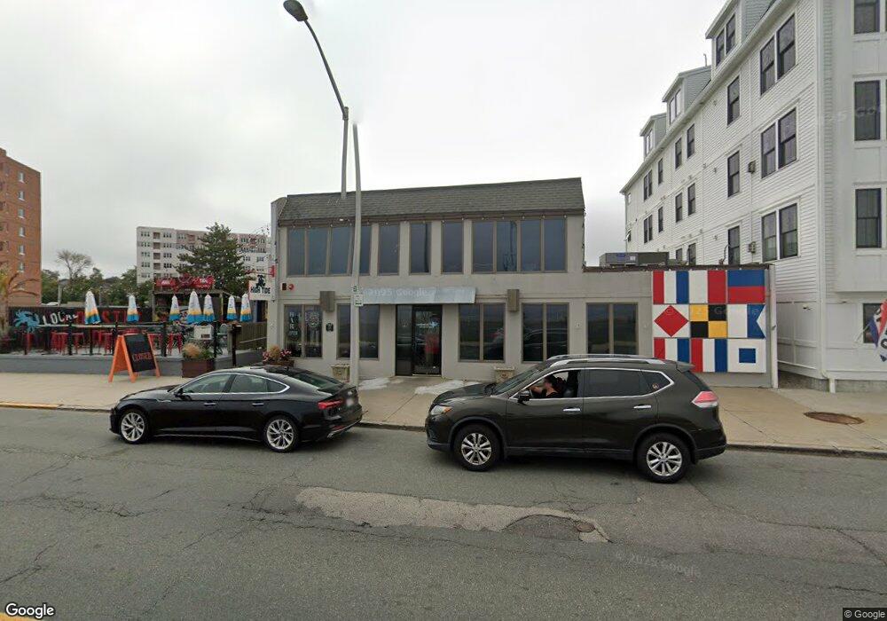
145 Nantasket Ave Hull, MA 02045
Beach Front NeighborhoodEstimated Value: $891,612
--
Bed
--
Bath
4,778
Sq Ft
$187/Sq Ft
Est. Value
About This Home
This home is located at 145 Nantasket Ave, Hull, MA 02045 and is currently estimated at $891,612, approximately $186 per square foot. 145 Nantasket Ave is a home located in Plymouth County with nearby schools including Lillian M. Jacobs Elementary School, Memorial Middle School, and Hull High School.
Ownership History
Date
Name
Owned For
Owner Type
Purchase Details
Closed on
Sep 14, 2001
Sold by
Medlow Inc
Bought by
Sla Llc
Current Estimated Value
Home Financials for this Owner
Home Financials are based on the most recent Mortgage that was taken out on this home.
Original Mortgage
$585,000
Interest Rate
6.99%
Mortgage Type
Commercial
Purchase Details
Closed on
Dec 20, 1999
Sold by
Kotb Inc and Foley
Bought by
Medlow Inc
Purchase Details
Closed on
Jul 8, 1996
Sold by
Medlow Inc
Bought by
Kotb Inc
Purchase Details
Closed on
Jun 22, 1988
Sold by
Donnelly Teresa A
Bought by
Lowney Irene M
Create a Home Valuation Report for This Property
The Home Valuation Report is an in-depth analysis detailing your home's value as well as a comparison with similar homes in the area
Home Values in the Area
Average Home Value in this Area
Purchase History
| Date | Buyer | Sale Price | Title Company |
|---|---|---|---|
| Sla Llc | $315,000 | -- | |
| Sla Llc | $315,000 | -- | |
| Medlow Inc | $320,000 | -- | |
| Medlow Inc | $320,000 | -- | |
| Kotb Inc | $300,001 | -- | |
| Kotb Inc | $300,001 | -- | |
| Lowney Irene M | $150,000 | -- |
Source: Public Records
Mortgage History
| Date | Status | Borrower | Loan Amount |
|---|---|---|---|
| Open | Lowney Irene M | $408,000 | |
| Closed | Lowney Irene M | $585,000 |
Source: Public Records
Tax History Compared to Growth
Tax History
| Year | Tax Paid | Tax Assessment Tax Assessment Total Assessment is a certain percentage of the fair market value that is determined by local assessors to be the total taxable value of land and additions on the property. | Land | Improvement |
|---|---|---|---|---|
| 2025 | $9,125 | $814,700 | $302,700 | $512,000 |
| 2024 | $9,090 | $780,300 | $289,600 | $490,700 |
| 2023 | $8,138 | $668,700 | $276,400 | $392,300 |
| 2022 | $8,296 | $661,600 | $210,600 | $451,000 |
| 2021 | $8,191 | $646,000 | $210,600 | $435,400 |
| 2020 | $8,257 | $644,100 | $196,600 | $447,500 |
| 2019 | $7,880 | $603,800 | $191,600 | $412,200 |
| 2018 | $7,923 | $590,400 | $182,500 | $407,900 |
| 2017 | $7,624 | $555,700 | $182,500 | $373,200 |
| 2016 | $7,491 | $555,700 | $182,500 | $373,200 |
| 2015 | $7,574 | $543,300 | $182,500 | $360,800 |
| 2014 | $7,536 | $543,300 | $182,500 | $360,800 |
Source: Public Records
Map
Nearby Homes
- 19 Berkley Rd
- 22 Berkley Rd Unit C
- 22 Berkley Rd Unit B
- 4 Atherton Rd
- 20 Rockland House Rd Unit 203
- 155 Nantasket Ave Unit B402
- 15 Park Ave Unit 307
- 120 Nantasket Ave Unit 304
- 120 Nantasket Ave Unit PH5
- 120 Nantasket Ave Unit 201
- 23 Wyola Rd
- 40 Oceanside Dr Unit 40
- 62 Oceanside Dr
- 25 Oceanside Dr
- 40 Rockaway Ave
- 6 State Park Rd Unit 2
- 9 School St
- 1 Gatehouse Ln Unit 1
- 61 Barnstable Rd
- 321 Rockland St
- 155 Nantasket Ave Unit 401
- 155 Nantasket Ave Unit 203
- 155 Nantasket Ave Unit 502
- 155 Nantasket Ave Unit 501
- 155 Nantasket Ave Unit 510
- 155 Nantasket Ave Unit D204
- 155 Nantasket Ave Unit C403
- 155 Nantasket Ave Unit A301
- 155 Nantasket Ave Unit 511
- 155 Nantasket Ave Unit D304
- 155 Nantasket Ave Unit A201
- 155 Nantasket Ave Unit C303
- 155 Nantasket Ave Unit B202
- 147 Nantasket Ave
- 6 Atherton Rd
- 6 Atherton Rd Unit A
- 6 Atherton Rd Unit 1
- 6 Atherton Rd Unit 2
- 7 Berkley Rd
- 8 Atherton Rd