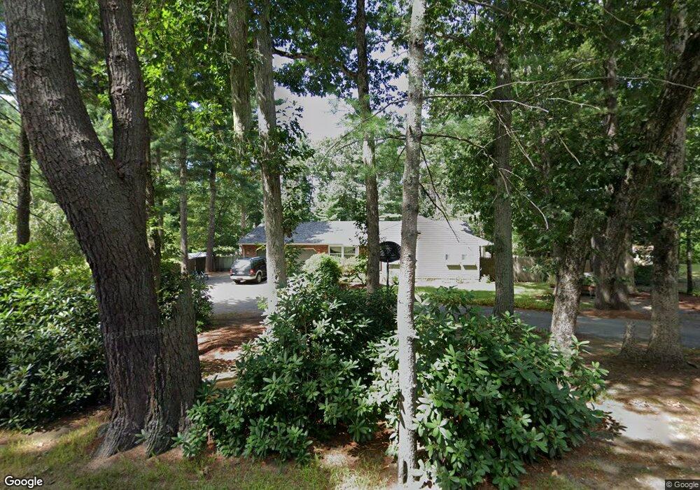
145 Otis St Mansfield, MA 02048
Estimated Value: $635,000 - $685,227
3
Beds
2
Baths
1,483
Sq Ft
$448/Sq Ft
Est. Value
About This Home
This home is located at 145 Otis St, Mansfield, MA 02048 and is currently estimated at $665,057, approximately $448 per square foot. 145 Otis St is a home located in Bristol County with nearby schools including Everett W. Robinson Elementary School, Jordan/Jackson Elementary School, and Harold L. Qualters Middle School.
Ownership History
Date
Name
Owned For
Owner Type
Purchase Details
Closed on
Jun 4, 2007
Sold by
Francis Laura A
Bought by
Francis Laura A and Francis Scott
Current Estimated Value
Home Financials for this Owner
Home Financials are based on the most recent Mortgage that was taken out on this home.
Original Mortgage
$232,954
Outstanding Balance
$142,929
Interest Rate
6.24%
Mortgage Type
Purchase Money Mortgage
Estimated Equity
$522,128
Purchase Details
Closed on
Dec 6, 2004
Sold by
Sacramona Grace
Bought by
Francis Laura A
Home Financials for this Owner
Home Financials are based on the most recent Mortgage that was taken out on this home.
Original Mortgage
$190,000
Interest Rate
5.69%
Mortgage Type
Purchase Money Mortgage
Create a Home Valuation Report for This Property
The Home Valuation Report is an in-depth analysis detailing your home's value as well as a comparison with similar homes in the area
Home Values in the Area
Average Home Value in this Area
Purchase History
| Date | Buyer | Sale Price | Title Company |
|---|---|---|---|
| Francis Laura A | -- | -- | |
| Francis Laura A | $350,000 | -- |
Source: Public Records
Mortgage History
| Date | Status | Borrower | Loan Amount |
|---|---|---|---|
| Open | Francis Laura A | $232,954 | |
| Previous Owner | Francis Laura A | $190,000 |
Source: Public Records
Tax History Compared to Growth
Tax History
| Year | Tax Paid | Tax Assessment Tax Assessment Total Assessment is a certain percentage of the fair market value that is determined by local assessors to be the total taxable value of land and additions on the property. | Land | Improvement |
|---|---|---|---|---|
| 2025 | $7,391 | $561,200 | $244,100 | $317,100 |
| 2024 | $6,406 | $474,500 | $244,100 | $230,400 |
| 2023 | $6,293 | $446,600 | $244,100 | $202,500 |
| 2022 | $6,098 | $402,000 | $226,000 | $176,000 |
| 2021 | $5,901 | $384,200 | $197,800 | $186,400 |
| 2020 | $5,674 | $369,400 | $188,400 | $181,000 |
| 2019 | $5,280 | $346,900 | $156,900 | $190,000 |
| 2018 | $4,237 | $318,200 | $149,700 | $168,500 |
| 2017 | $4,848 | $322,800 | $145,400 | $177,400 |
| 2016 | $4,785 | $310,500 | $138,400 | $172,100 |
| 2015 | $4,396 | $283,600 | $138,400 | $145,200 |
Source: Public Records
Map
Nearby Homes
- 176 Elm St
- 2 Oak St Unit 2D
- 2 Oak St Unit 2A
- 2 Oak St Unit 2C
- 2 Oak St Unit 2B
- 150 Gilbert St
- 451R Gilbert St
- 37 Oakleaf Dr
- 4 Buckskin Dr
- 255 Mckeon Dr
- 14 Country Club Way
- 24 Maverick Dr
- 250 Mansfield Ave Unit 66
- 196 Donald Tennant Cir
- 115 Westfield Dr
- 15 Reservoir St Unit 44
- 4 Village Way Unit F
- 11 Buckthorn Ln
- 231 Spring St
- 11 Landry Ave